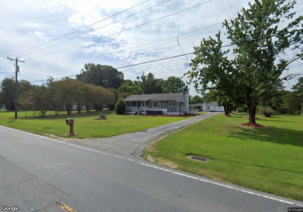
1743 Nc Highway 62 W High Point, NC 27263
Greater High Point NeighborhoodEstimated Value: $198,000 - $292,000
2
Beds
1
Bath
1,235
Sq Ft
$193/Sq Ft
Est. Value
About This Home
This home is located at 1743 Nc Highway 62 W, High Point, NC 27263 and is currently estimated at $238,185, approximately $192 per square foot. 1743 Nc Highway 62 W is a home located in Guilford County with nearby schools including Allen Jay Elementary School, Southern Guilford Middle, and Southern Guilford High School.
Ownership History
Date
Name
Owned For
Owner Type
Purchase Details
Closed on
Mar 25, 2004
Sold by
Owen Nancy Yarborough and Yarborough Hoy Weston
Bought by
Davis Clarence William
Current Estimated Value
Home Financials for this Owner
Home Financials are based on the most recent Mortgage that was taken out on this home.
Original Mortgage
$74,500
Interest Rate
5.62%
Mortgage Type
Purchase Money Mortgage
Create a Home Valuation Report for This Property
The Home Valuation Report is an in-depth analysis detailing your home's value as well as a comparison with similar homes in the area
Home Values in the Area
Average Home Value in this Area
Purchase History
| Date | Buyer | Sale Price | Title Company |
|---|---|---|---|
| Davis Clarence William | $75,000 | -- |
Source: Public Records
Mortgage History
| Date | Status | Borrower | Loan Amount |
|---|---|---|---|
| Closed | Davis Clarence William | $74,500 |
Source: Public Records
Tax History Compared to Growth
Tax History
| Year | Tax Paid | Tax Assessment Tax Assessment Total Assessment is a certain percentage of the fair market value that is determined by local assessors to be the total taxable value of land and additions on the property. | Land | Improvement |
|---|---|---|---|---|
| 2025 | $1,022 | $116,500 | $25,000 | $91,500 |
| 2024 | $1,022 | $116,500 | $25,000 | $91,500 |
| 2023 | $1,022 | $116,500 | $25,000 | $91,500 |
| 2022 | $1,022 | $116,500 | $25,000 | $91,500 |
| 2021 | $928 | $105,800 | $22,000 | $83,800 |
| 2020 | $928 | $105,800 | $22,000 | $83,800 |
| 2019 | $928 | $105,800 | $0 | $0 |
| 2018 | $923 | $105,800 | $0 | $0 |
| 2017 | $895 | $105,800 | $0 | $0 |
| 2016 | $769 | $87,900 | $0 | $0 |
| 2015 | $774 | $87,900 | $0 | $0 |
| 2014 | $782 | $87,900 | $0 | $0 |
Source: Public Records
Map
Nearby Homes
- 103 Hanner Ct
- 105 Willow Terrace
- 6108 Appletree Ct
- 6019 Checker Rd
- 1640 Kersey Valley Rd
- 6007 Checker Rd
- 104 Autumn Hill Ct
- 510 Aldridge Rd
- 424 Aldridge Rd
- 204 Aldridge Ln
- 1206 Byron Ln
- 108 Sprucewood Ct
- 1846 Sechrest Cir
- 0 Sprucewood Ct
- 1815 Sechrest Cir
- 1021 Sagewood Ln
- 3827 Wood Ave
- 3617 Southpark Dr
- 0-C Us Highway 311
- 118 Rand Blvd
- 1741 Nc Highway 62 W
- 1745 Nc Highway 62 W
- 1739 Nc Highway 62 W
- 1747 Nc Highway 62 W
- 1737 Nc Highway 62 W
- 1749 Nc Highway 62 W
- 1742 Nc Highway 62 W
- 1755 Nc Highway 62 W
- 6907 Windhaven Ct
- 6911 Windhaven Ct
- 1733 Nc Highway 62 W
- 6309 Modlin Grove Rd
- 6903 Windhaven Ct
- 6305 Modlin Grove Rd
- 1731 Nc Highway 62 W
- 6908 Windhaven Ct
- 1729 Nc Highway 62 W
- 7003 Bluewood Ct
- 6301 Modlin Grove Rd
- 7005 Bluewood Ct