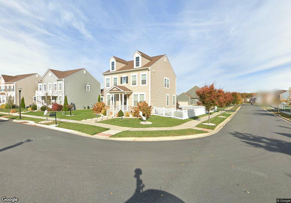
1743 W Matisse Dr Middletown, DE 19709
Estimated Value: $544,000 - $569,000
4
Beds
4
Baths
2,120
Sq Ft
$262/Sq Ft
Est. Value
About This Home
This home is located at 1743 W Matisse Dr, Middletown, DE 19709 and is currently estimated at $555,151, approximately $261 per square foot. 1743 W Matisse Dr is a home with nearby schools including Cedar Lane Elementary School, Alfred G. Waters Middle School, and Middletown High School.
Ownership History
Date
Name
Owned For
Owner Type
Purchase Details
Closed on
Jul 7, 2017
Sold by
Blenheim At Bayberry North Llc
Bought by
Emory Brandt E
Current Estimated Value
Home Financials for this Owner
Home Financials are based on the most recent Mortgage that was taken out on this home.
Original Mortgage
$337,974
Interest Rate
4.5%
Mortgage Type
FHA
Create a Home Valuation Report for This Property
The Home Valuation Report is an in-depth analysis detailing your home's value as well as a comparison with similar homes in the area
Home Values in the Area
Average Home Value in this Area
Purchase History
| Date | Buyer | Sale Price | Title Company |
|---|---|---|---|
| Emory Brandt E | -- | None Available |
Source: Public Records
Mortgage History
| Date | Status | Borrower | Loan Amount |
|---|---|---|---|
| Previous Owner | Emory Brandt E | $337,974 |
Source: Public Records
Tax History Compared to Growth
Tax History
| Year | Tax Paid | Tax Assessment Tax Assessment Total Assessment is a certain percentage of the fair market value that is determined by local assessors to be the total taxable value of land and additions on the property. | Land | Improvement |
|---|---|---|---|---|
| 2024 | $3,942 | $94,200 | $10,300 | $83,900 |
| 2023 | $3,350 | $94,200 | $10,300 | $83,900 |
| 2022 | $3,374 | $94,200 | $10,300 | $83,900 |
| 2021 | $3,295 | $94,200 | $10,300 | $83,900 |
| 2020 | $3,295 | $94,200 | $10,300 | $83,900 |
| 2019 | $311 | $94,200 | $10,300 | $83,900 |
| 2018 | $2,936 | $94,200 | $10,300 | $83,900 |
| 2017 | $78 | $94,200 | $10,300 | $83,900 |
| 2016 | $71 | $2,600 | $2,600 | $0 |
| 2015 | -- | $2,600 | $2,600 | $0 |
| 2014 | -- | $2,600 | $2,600 | $0 |
Source: Public Records
Map
Nearby Homes
- 1169 S Olmsted Pkwy
- 1221 N Olmsted Pkwy
- 2248 Audubon Trail
- 755 Stanford White Way
- 3104 Pett Level Dr
- 3108 Pett Level Dr
- 3506 Pipewell Ln
- 3502 Pipewell Ln
- 3500 Pipewell Ln
- 3110 Pett Level Dr
- 868 Lissicasey Loop
- 3029 Ivyhouse Ln
- 3134 Pett Level Dr
- 932 Lissicasey Loop
- 840 Lissicasey Loop
- 3112 Pett Level Dr
- Solano Plan at Venue at Winchelsea 55+ - Winchelsea Singles
- Taylor Plan at Venue at Winchelsea 55+ - Winchelsea Towns
- Mendocino Plan at Venue at Winchelsea 55+ - Winchelsea Singles
- Carson Plan at Venue at Winchelsea 55+ - Winchelsea Singles
- 1741 W Matisse Dr
- 1739 W Matisse Dr
- 225 N Bayberry Pkwy
- 1007 W Davinci Dr
- 1005 W Davinci Dr
- 227 N Bayberry Pkwy
- 1742 W Matisse Dr
- 1740 W Matisse Dr
- 1009 W Davinci Dr
- 1011 W Davinci Dr
- 229 N Bayberry Pkwy
- 1737 W Matisse Dr
- 1738 W Matisse Dr
- 223 N Bayberry Pkwy
- 1013 W Davinci Dr
- 221 N Bayberry Pkwy
- 1735 W Matisse Dr
- 1736 W Matisse Dr
- 1016 W Davinci Dr
- 233 N Bayberry Pkwy