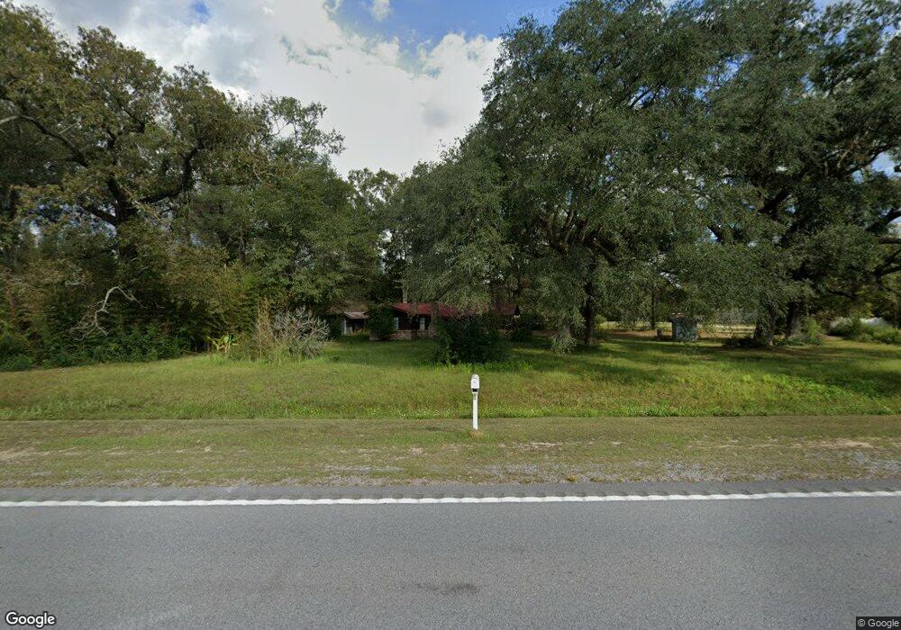
17440 Highway 63 Moss Point, MS 39562
Estimated Value: $194,000 - $335,000
About This Home
This home is located at 17440 Highway 63, Moss Point, MS 39562 and is currently estimated at $249,286, approximately $127 per square foot. 17440 Highway 63 is a home located in Jackson County with nearby schools including East Central Lower Elementary School, East Central Upper Elementary School, and East Central Middle School.
Ownership History
We collect this data history from publicly available records. To have your information removed, we recommend requesting removal directly through your county’s website.
Purchase Details
Home Financials for this Owner
Home Financials are based on the most recent Mortgage that was taken out on this home.Purchase History
We collect this data history from publicly available records. To have your information removed, we recommend requesting removal directly through your county’s website.
| Date | Buyer | Sale Price | Title Company |
|---|---|---|---|
| -- | None Listed On Document |
Mortgage History
We collect this data history from publicly available records. To have your information removed, we recommend requesting removal directly through your county’s website.
| Date | Status | Borrower | Loan Amount |
|---|---|---|---|
| Closed | $112,500 |
Tax History
We collect this data history from publicly available records. To have your information removed, we recommend requesting removal directly through your county’s website.
| Year | Tax Paid | Tax Assessment Tax Assessment Total Assessment is a certain percentage of the fair market value that is determined by local assessors to be the total taxable value of land and additions on the property. | Land | Improvement |
|---|---|---|---|---|
| 2025 | $1,232 | $12,897 | $913 | $11,984 |
| 2024 | $1,232 | $11,073 | $888 | $10,185 |
| 2023 | $1,029 | $11,073 | $888 | $10,185 |
| 2022 | $992 | $11,073 | $888 | $10,185 |
| 2021 | $998 | $11,138 | $888 | $10,250 |
| 2020 | $992 | $10,694 | $822 | $9,872 |
| 2019 | $978 | $10,694 | $822 | $9,872 |
| 2018 | $1,005 | $10,712 | $822 | $9,890 |
| 2017 | $1,027 | $10,712 | $822 | $9,890 |
| 2016 | $974 | $10,712 | $822 | $9,890 |
| 2015 | $889 | $99,400 | $8,220 | $91,180 |
| 2014 | $908 | $10,284 | $822 | $9,462 |
| 2013 | $868 | $10,284 | $822 | $9,462 |
Map
- 16929 Shenandoah Rd
- 2916 Lee Pierce Rd
- 16408 Culbert Rd
- 2432 Pascagoula River Rd
- 0 Pascagoula Unit 4151963
- 2517 Will Kibby Rd
- 19500 Angel Ln
- 19506 Highway 63
- 3016 Ed Parker Rd
- 2500 Tearose Ln
- 20700 Cameron Ln
- 7201 Bentwood Dr
- 17713 Highway 613
- 0 Dr Unit 4052148
- 26.1 Acres Brinkman Rd E
- Tbd Hurley Wade Rd
- 0 River Walk Dr
- 12601 Berkley Rd
- Lot 111 River Place
- 12908 Dixie Hill Dr
- 17504 Highway 63
- 17422 Highway 63
- 17420 Highway 63
- 17428 Highway 63
- 17604 Highway 63
- 17604 Highway 63
- 17618 Highway 63
- 17424 Highway 63
- 17511 Della Roper Rd
- 17425 Della Roper Rd
- 2721 Vaughn Rd
- 17533 Highway 63
- 17421 Della Roper Rd
- 3301 Shattles Rd
- 17409 Della Roper Rd
- 17320 Highway 63
- 17601 Highway 63
- 2820 Neelia Cumbest Rd
- 3009 Kennie Pierce Rd
- 3015 Neelia Cumbest Rd
Ask me questions while you tour the home.