1745 Apple Valley Dr Howard, OH 43028
Apple Valley NeighborhoodEstimated Value: $242,000 - $275,000
2
Beds
2
Baths
1,124
Sq Ft
$226/Sq Ft
Est. Value
About This Home
This home is located at 1745 Apple Valley Dr, Howard, OH 43028 and is currently estimated at $253,645, approximately $225 per square foot. 1745 Apple Valley Dr is a home located in Knox County with nearby schools including East Knox Elementary School and East Knox High School.
Ownership History
Date
Name
Owned For
Owner Type
Purchase Details
Closed on
Dec 30, 2004
Sold by
Roth Starre
Bought by
Beaver Roger M and Beaver Sharon M
Current Estimated Value
Purchase Details
Closed on
Jul 3, 2001
Sold by
Stepp Robert H and Stepp Sandra J
Bought by
Roth Starre
Purchase Details
Closed on
Oct 8, 1999
Sold by
Neace Angela L
Bought by
Stepp Robert H and Stepp Sandra J
Purchase Details
Closed on
Apr 13, 1998
Sold by
Stephens Danny
Bought by
Neace Angela L
Purchase Details
Closed on
Oct 23, 1997
Bought by
Stephens Danny
Purchase Details
Closed on
Jul 18, 1995
Sold by
Lake Clifford C and Lake Lois V
Bought by
Valley Best Homes
Create a Home Valuation Report for This Property
The Home Valuation Report is an in-depth analysis detailing your home's value as well as a comparison with similar homes in the area
Home Values in the Area
Average Home Value in this Area
Purchase History
| Date | Buyer | Sale Price | Title Company |
|---|---|---|---|
| Beaver Roger M | $80,925 | None Available | |
| Roth Starre | $103,000 | -- | |
| Stepp Robert H | $89,900 | -- | |
| Neace Angela L | $89,900 | -- | |
| Stephens Danny | $58,500 | -- | |
| Valley Best Homes | $3,900 | -- |
Source: Public Records
Tax History Compared to Growth
Tax History
| Year | Tax Paid | Tax Assessment Tax Assessment Total Assessment is a certain percentage of the fair market value that is determined by local assessors to be the total taxable value of land and additions on the property. | Land | Improvement |
|---|---|---|---|---|
| 2024 | $2,185 | $64,070 | $3,550 | $60,520 |
| 2023 | $2,185 | $64,070 | $3,550 | $60,520 |
| 2022 | $1,666 | $44,190 | $2,450 | $41,740 |
| 2021 | $1,666 | $44,190 | $2,450 | $41,740 |
| 2020 | $1,587 | $44,190 | $2,450 | $41,740 |
| 2019 | $1,386 | $37,110 | $3,050 | $34,060 |
| 2018 | $1,299 | $37,110 | $3,050 | $34,060 |
| 2017 | $1,287 | $37,110 | $3,050 | $34,060 |
| 2016 | $1,181 | $34,350 | $2,820 | $31,530 |
| 2015 | $1,076 | $34,350 | $2,820 | $31,530 |
| 2014 | $1,077 | $34,350 | $2,820 | $31,530 |
| 2013 | $1,247 | $36,910 | $3,440 | $33,470 |
Source: Public Records
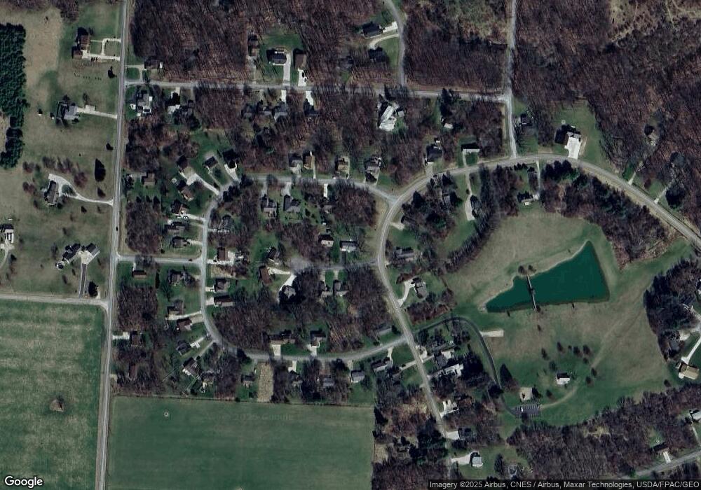
Map
Nearby Homes
- 1709 Apple Valley Dr
- 1708 Apple Valley Dr
- 0 Berry Rd
- 0 Berry Rd Unit 9067495
- 0 Berry Rd Unit 225024403
- 629 Mcintosh Dr
- 0 Greenlawn Dr Unit 225012211
- 0 Greenlawn Dr Unit 20250232
- 43 Hawkeye Ct
- 477 Greenlawn Dr
- 0 Monroe Mills Rd
- 561 Mcintosh Dr
- 535 Green Acre Cir
- 2037 Apple Valley Dr Unit 514, 515
- 3162 Apple Valley Dr
- 3142 Apple Valley Dr
- 2536 Apple Valley Dr
- 2536 Apple Valley Dr Unit Lot 298
- 2100 Apple Valley Dr Unit Lot 63
- 512 Greenacre Cir
- 56 Greenbriar Ct
- 0 Greenbriar Ct Unit 83
- 53 Greenbriar Ct
- 714 Greenbriar Cir
- 57 Greenbriar Ct
- 1744 Apple Valley Dr
- 1756 Apple Valley Dr
- 1773 Apple Valley Dr
- 702 Greenbriar Cir
- 1728 Apple Valley Dr
- 68 Greenbriar Ct
- 65 Greenbriar Ct
- 1725 Apple Valley Dr
- 69 Greenbriar Ct
- 727 Greenbriar Cir
- 614 Greenbriar Cir
- 719 Greenbriar Cir
- 698 Greenbriar Cir
- 622 Greenbriar Cir
- 711 Greenbriar Cir