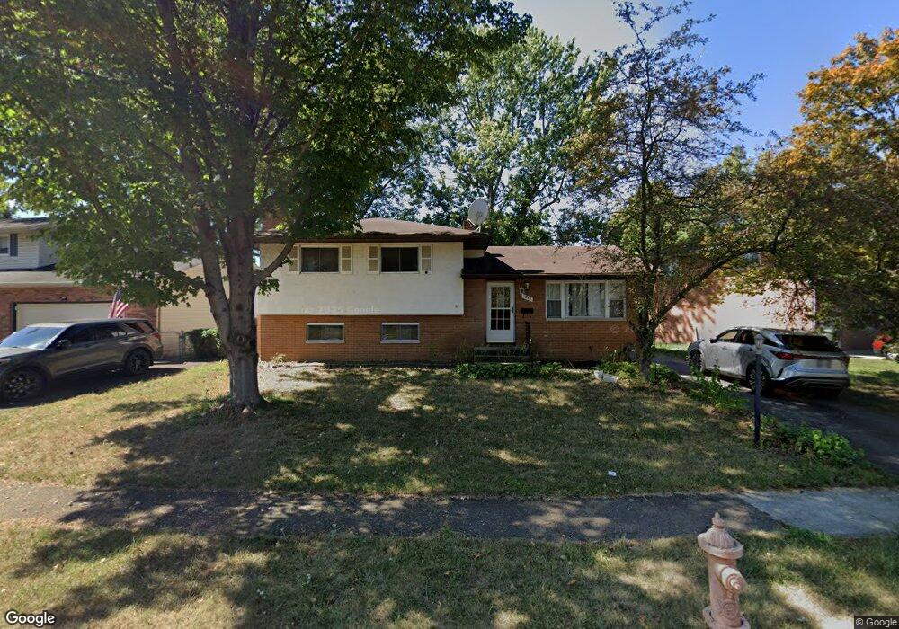
1745 Jason Dr Columbus, OH 43227
Leawood NeighborhoodEstimated Value: $213,065 - $263,000
4
Beds
2
Baths
1,644
Sq Ft
$146/Sq Ft
Est. Value
About This Home
This home is located at 1745 Jason Dr, Columbus, OH 43227 and is currently estimated at $240,516, approximately $146 per square foot. 1745 Jason Dr is a home located in Franklin County with nearby schools including Shady Lane Elementary School, Sherwood Middle School, and Walnut Ridge High School.
Ownership History
Date
Name
Owned For
Owner Type
Purchase Details
Closed on
Jun 6, 2002
Sold by
Mullett Douglas J
Bought by
Aligaz Aleligne A and Aligaz Alemnesh B
Current Estimated Value
Home Financials for this Owner
Home Financials are based on the most recent Mortgage that was taken out on this home.
Original Mortgage
$104,800
Outstanding Balance
$42,751
Interest Rate
6.87%
Mortgage Type
FHA
Estimated Equity
$197,765
Purchase Details
Closed on
Oct 1, 1993
Bought by
Mullett Douglas J
Create a Home Valuation Report for This Property
The Home Valuation Report is an in-depth analysis detailing your home's value as well as a comparison with similar homes in the area
Home Values in the Area
Average Home Value in this Area
Purchase History
| Date | Buyer | Sale Price | Title Company |
|---|---|---|---|
| Aligaz Aleligne A | $106,500 | -- | |
| Mullett Douglas J | $71,500 | -- |
Source: Public Records
Mortgage History
| Date | Status | Borrower | Loan Amount |
|---|---|---|---|
| Open | Aligaz Aleligne A | $104,800 |
Source: Public Records
Tax History
| Year | Tax Paid | Tax Assessment Tax Assessment Total Assessment is a certain percentage of the fair market value that is determined by local assessors to be the total taxable value of land and additions on the property. | Land | Improvement |
|---|---|---|---|---|
| 2025 | $2,634 | $58,700 | $14,810 | $43,890 |
| 2024 | $2,634 | $58,700 | $14,810 | $43,890 |
| 2023 | $2,601 | $58,695 | $14,805 | $43,890 |
| 2022 | $1,757 | $33,880 | $6,440 | $27,440 |
| 2021 | $1,760 | $33,880 | $6,440 | $27,440 |
| 2020 | $1,763 | $33,880 | $6,440 | $27,440 |
| 2019 | $1,614 | $26,610 | $5,150 | $21,460 |
| 2018 | $1,649 | $26,610 | $5,150 | $21,460 |
| 2017 | $1,613 | $26,610 | $5,150 | $21,460 |
| 2016 | $1,857 | $28,040 | $5,460 | $22,580 |
| 2015 | $1,686 | $28,040 | $5,460 | $22,580 |
| 2014 | $1,690 | $28,040 | $5,460 | $22,580 |
| 2013 | $981 | $32,970 | $6,405 | $26,565 |
Source: Public Records
Map
Nearby Homes
- 4649 Dundee Ave
- 4701 Janis Dr
- 4589 Belfast Dr
- 1691 Shady Lane Rd
- 1639 Shady Lane Rd
- 1612 Simpson Dr
- 4677 E Livingston Ave
- 4475 Ellery Dr
- 1607 Baxter Dr
- 1752 S Hamilton Rd
- 4472 Aragon Ave
- 4859 Folger Dr
- 1472 Blaine Dr
- 1654 Wilton Dr
- 4467 Grimsby Rd
- 1470 Efner Dr
- 1646 Clyde Place
- 1945 Riverdale Rd
- 1284 Thurston Dr
- 1356 Harlow Rd
Your Personal Tour Guide
Ask me questions while you tour the home.