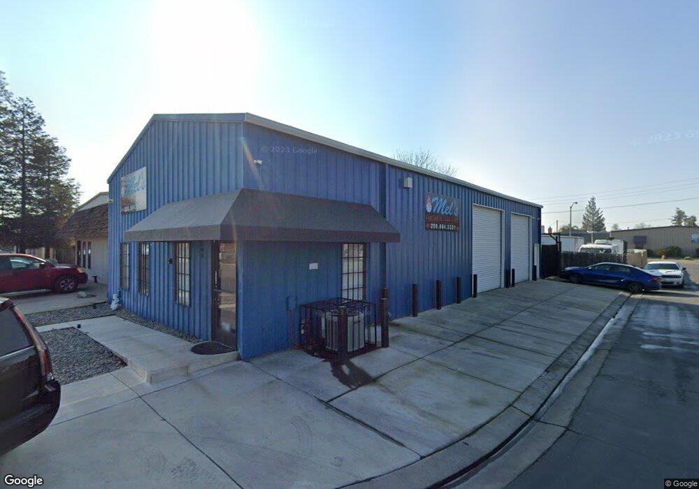
1745 Mccormick St Turlock, CA 95380
Estimated Value: $355,303
Studio
--
Bath
1,980
Sq Ft
$179/Sq Ft
Est. Value
About This Home
This home is located at 1745 Mccormick St, Turlock, CA 95380 and is currently estimated at $355,303, approximately $179 per square foot. 1745 Mccormick St is a home located in Stanislaus County with nearby schools including Walter M. Brown Elementary School, Marvin A. Dutcher Middle School, and Turlock Junior High School.
Ownership History
Date
Name
Owned For
Owner Type
Purchase Details
Closed on
Dec 16, 2014
Sold by
Colp Peggy
Bought by
Three Kings Properties Llc
Current Estimated Value
Home Financials for this Owner
Home Financials are based on the most recent Mortgage that was taken out on this home.
Original Mortgage
$86,190
Outstanding Balance
$66,215
Interest Rate
4%
Mortgage Type
Commercial
Estimated Equity
$289,088
Purchase Details
Closed on
Mar 4, 2005
Sold by
Vanrys Cornelius R
Bought by
Colp Steven and Colp Peggy
Purchase Details
Closed on
May 30, 2003
Sold by
Vanrys John and The Janet Van Rys Trust
Bought by
Vanrys Cornelius
Home Financials for this Owner
Home Financials are based on the most recent Mortgage that was taken out on this home.
Original Mortgage
$59,500
Interest Rate
5.61%
Mortgage Type
Credit Line Revolving
Purchase Details
Closed on
Jan 29, 2000
Sold by
Donovan Anthony
Bought by
Vanrys Janet and Vanrys Cornelius
Create a Home Valuation Report for This Property
The Home Valuation Report is an in-depth analysis detailing your home's value as well as a comparison with similar homes in the area
Purchase History
| Date | Buyer | Sale Price | Title Company |
|---|---|---|---|
| Three Kings Properties Llc | $175,000 | Old Republic | |
| Colp Steven | $245,000 | Chicago Title | |
| Vanrys Cornelius | -- | Chicago Title | |
| Vanrys Janet | $110,000 | Chicago Title Co |
Source: Public Records
Mortgage History
| Date | Status | Borrower | Loan Amount |
|---|---|---|---|
| Open | Three Kings Properties Llc | $86,190 | |
| Previous Owner | Vanrys Cornelius | $59,500 |
Source: Public Records
Tax History
| Year | Tax Paid | Tax Assessment Tax Assessment Total Assessment is a certain percentage of the fair market value that is determined by local assessors to be the total taxable value of land and additions on the property. | Land | Improvement |
|---|---|---|---|---|
| 2025 | $2,264 | $210,313 | $42,059 | $168,254 |
| 2024 | $2,222 | $206,190 | $41,235 | $164,955 |
| 2023 | $2,219 | $202,148 | $40,427 | $161,721 |
| 2022 | $2,191 | $198,185 | $39,635 | $158,550 |
| 2021 | $2,159 | $194,300 | $38,858 | $155,442 |
| 2020 | $2,144 | $192,309 | $38,460 | $153,849 |
| 2019 | $2,108 | $188,539 | $37,706 | $150,833 |
| 2018 | $2,106 | $184,843 | $36,967 | $147,876 |
| 2017 | $2,057 | $181,220 | $36,243 | $144,977 |
| 2016 | $1,921 | $177,668 | $35,533 | $142,135 |
| 2015 | $1,903 | $175,000 | $35,000 | $140,000 |
| 2014 | $1,692 | $154,000 | $39,000 | $115,000 |
Source: Public Records
Map
Nearby Homes
- 1400 N Tully Rd Unit 120
- 1400 N Tully Rd Unit 91
- 1400 N Tully Rd Unit 168
- 2065 Cody Ct
- 1114 Kay Cir
- 1186 Kay Cir
- 990 Shawnan Dr
- 2098 Joett Dr
- 2147 Sorrel Dr
- 2400 Fulkerth Rd
- 2375 Oxford Ave
- 2450 Fulkerth Rd
- 2230 Aspenwood Dr
- 2091 State St
- 961 Countryside Dr
- 2755 N Walnut Rd Unit 114
- 520 Allen Way
- 2180 Rochelle Ave
- 2470 Sea Lion Way
- 1249 Magic Sands Way
- 1732 Carnegie St
- 1601 Bessemer St
- 1744 Mccormick St
- 1672 Carnegie St
- 1636 Carnegie St
- 1757 Carnegie St
- 1601 Carnegie St
- 1649 Carnegie St
- 1680 Provo St
- 1700 Provo St
- 1660 Provo St
- 1720 Provo St
- 1740 Provo St
- 1331 Fulkerth Rd
- 1720 Bryce Ave
- 1760 Provo St
- 1705 Fulkerth Rd
- 1780 Provo St
- 1725 Fulkerth Rd
- 1740 Bryce Ave
Your Personal Tour Guide
Ask me questions while you tour the home.