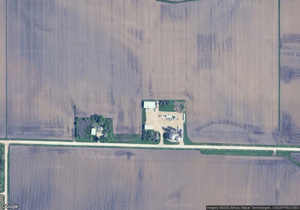
1745 Radio Rd Marion, IA 52302
Estimated Value: $373,000 - $990,565
3
Beds
--
Bath
1,509
Sq Ft
$442/Sq Ft
Est. Value
About This Home
This home is located at 1745 Radio Rd, Marion, IA 52302 and is currently estimated at $666,391, approximately $441 per square foot. 1745 Radio Rd is a home located in Linn County with nearby schools including Linn Grove Elementary School, Excelsior Middle School, and Linn-Mar High School.
Ownership History
Date
Name
Owned For
Owner Type
Purchase Details
Closed on
Mar 27, 2019
Sold by
Carson Farms Llc
Bought by
Riensche Benjamin R and Riensche Lisa M
Current Estimated Value
Home Financials for this Owner
Home Financials are based on the most recent Mortgage that was taken out on this home.
Original Mortgage
$812,569
Outstanding Balance
$331,936
Interest Rate
4.3%
Mortgage Type
Future Advance Clause Open End Mortgage
Estimated Equity
$334,455
Purchase Details
Closed on
Jan 11, 1999
Sold by
Dostal Farm Enterprises Inc
Bought by
Carson Robert J and Carson Cynthia S
Home Financials for this Owner
Home Financials are based on the most recent Mortgage that was taken out on this home.
Original Mortgage
$185,000
Interest Rate
6.83%
Create a Home Valuation Report for This Property
The Home Valuation Report is an in-depth analysis detailing your home's value as well as a comparison with similar homes in the area
Home Values in the Area
Average Home Value in this Area
Purchase History
| Date | Buyer | Sale Price | Title Company |
|---|---|---|---|
| Riensche Benjamin R | $815,000 | None Available | |
| Carson Robert J | $199,500 | -- |
Source: Public Records
Mortgage History
| Date | Status | Borrower | Loan Amount |
|---|---|---|---|
| Open | Riensche Benjamin R | $812,569 | |
| Previous Owner | Carson Robert J | $185,000 |
Source: Public Records
Tax History Compared to Growth
Tax History
| Year | Tax Paid | Tax Assessment Tax Assessment Total Assessment is a certain percentage of the fair market value that is determined by local assessors to be the total taxable value of land and additions on the property. | Land | Improvement |
|---|---|---|---|---|
| 2025 | $10,930 | $633,000 | $6,700 | $626,300 |
| 2024 | $5,116 | $566,200 | $5,800 | $560,400 |
| 2023 | $5,116 | $566,200 | $5,800 | $560,400 |
| 2022 | $2,186 | $234,300 | $4,200 | $230,100 |
| 2021 | $3,662 | $126,300 | $4,200 | $122,100 |
| 2020 | $3,662 | $181,700 | $4,400 | $177,300 |
| 2019 | $3,454 | $214,100 | $6,000 | $208,100 |
| 2018 | $3,286 | $214,100 | $6,000 | $208,100 |
| 2017 | $4,024 | $283,700 | $6,900 | $276,800 |
| 2016 | $3,906 | $283,700 | $6,900 | $276,800 |
| 2015 | $4,640 | $345,900 | $12,400 | $333,500 |
| 2014 | $4,640 | $333,500 | $12,400 | $321,100 |
| 2013 | $4,290 | $333,500 | $12,400 | $321,100 |
Source: Public Records
Map
Nearby Homes
- 2638 Fields Dr
- 2770 Burns Dr
- 2760 Burns Dr
- 2750 Burns Dr
- 2701 Roycroft Dr
- 2465 Bluegrass St
- 2488 Bluegrass St
- 2375 Bluegrass St
- 2398 Bluegrass St
- 2390 Bluegrass St
- 2362 Bluegrass St
- 2367 Rookwood Ln
- 2466 Roycroft Alley
- 2363 Rookwood Ln
- 2436 Roycroft Alley
- Lots 130-137 Rookwood Estates
- 2734 Rookwood Ln
- 2700 Rookwood Ln
- 6431 Rookwood Ln
- 0 Robinwood Ln
- 1765 Radio Rd
- 1800 Radio Rd
- 0 Fields Dr
- 2678 Fields Dr
- 1818 Radio Rd
- 1826 Radio Rd
- 1805 Somerset Dr
- 1806 Somerset Dr
- 1813 Somerset Dr
- 1834 Radio Rd
- 1821 Somerset Dr
- 1814 Somerset Dr
- 2625 Fields Dr
- 1822 Somerset Dr
- 2622 Fields Dr
- 1829 Somerset Dr
- 1842 Radio Rd
- 2634 Fields Dr
- 1835 Somerset Dr
- 1830 Somerset Dr