1745 Zumbrum Rd Union City, OH 45390
Estimated Value: $199,000 - $337,443
3
Beds
2
Baths
1,344
Sq Ft
$215/Sq Ft
Est. Value
About This Home
This home is located at 1745 Zumbrum Rd, Union City, OH 45390 and is currently estimated at $288,814, approximately $214 per square foot. 1745 Zumbrum Rd is a home with nearby schools including Mississinawa Valley Elementary School and Mississinawa Valley Junior/Senior High School.
Ownership History
Date
Name
Owned For
Owner Type
Purchase Details
Closed on
Apr 28, 2003
Sold by
Hunt Rickie G
Bought by
Byram Andrew A and Byram Jessica A
Current Estimated Value
Create a Home Valuation Report for This Property
The Home Valuation Report is an in-depth analysis detailing your home's value as well as a comparison with similar homes in the area
Home Values in the Area
Average Home Value in this Area
Purchase History
| Date | Buyer | Sale Price | Title Company |
|---|---|---|---|
| Byram Andrew A | -- | -- |
Source: Public Records
Tax History Compared to Growth
Tax History
| Year | Tax Paid | Tax Assessment Tax Assessment Total Assessment is a certain percentage of the fair market value that is determined by local assessors to be the total taxable value of land and additions on the property. | Land | Improvement |
|---|---|---|---|---|
| 2024 | $2,318 | $77,840 | $20,760 | $57,080 |
| 2023 | $2,317 | $77,840 | $20,760 | $57,080 |
| 2022 | $2,333 | $66,400 | $18,350 | $48,050 |
| 2021 | $2,375 | $66,400 | $18,350 | $48,050 |
| 2020 | $2,390 | $66,400 | $18,350 | $48,050 |
| 2019 | $2,020 | $60,110 | $18,330 | $41,780 |
| 2018 | $1,983 | $60,110 | $18,330 | $41,780 |
| 2017 | $1,624 | $60,110 | $18,330 | $41,780 |
| 2016 | $1,626 | $53,590 | $13,840 | $39,750 |
| 2015 | $1,626 | $53,590 | $13,840 | $39,750 |
| 2014 | $1,631 | $53,590 | $13,840 | $39,750 |
| 2013 | $1,719 | $53,310 | $13,560 | $39,750 |
Source: Public Records
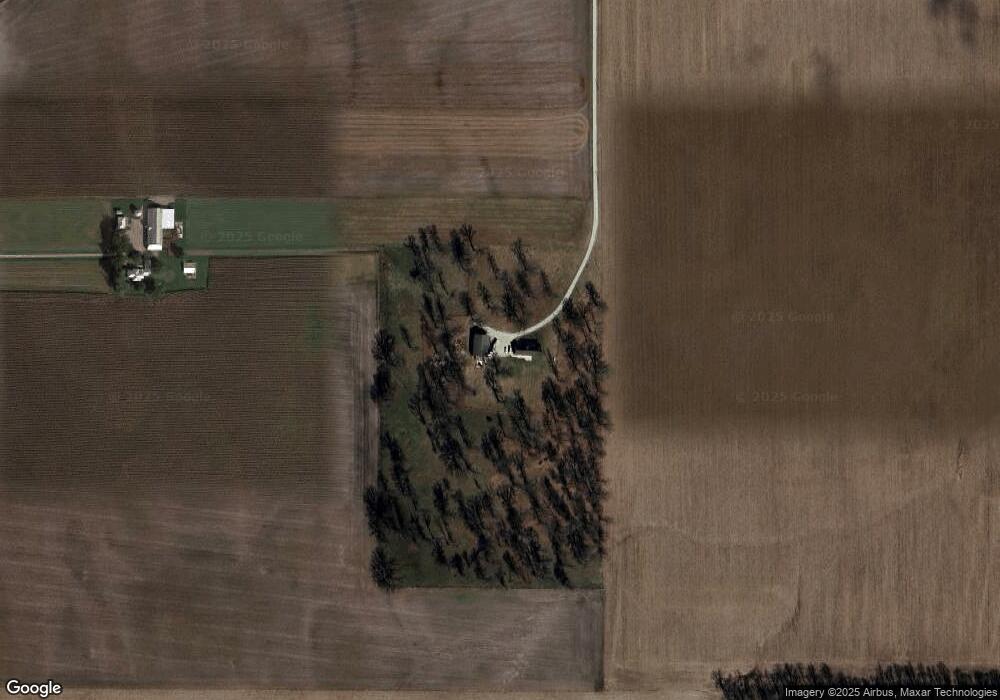
Map
Nearby Homes
- 12411 State Route 49
- 718 Lynwood Ct
- 706 Lynwood Ct
- 807 E Cherry St
- 230 NW Deerfield Rd
- 427 State Route 571
- 0 County Road 400 N
- 543 N Walnut St
- 720 E Main St
- 305 E North St
- 722 N Union St
- 811 N Columbia St
- 811 N Columbia St
- 113 E North St
- 504 N Union St
- 504 N Union St Unit Street
- 509 Indiana 28
- 612 N Howard St
- 309 S Market St
- 3709 Rossburg-Lightsville Rd
- 11140 Staudt Rd
- 11054 Young Rd
- 11103 Young Rd
- 1454 Zumbrum Rd
- 10808 Staudt Rd
- 11388 Staudt Rd
- 11417 Staudt Rd
- 10810 Young Rd
- 2112 Zumbrum Rd
- 1610 Glade Valley Dr
- 1610 Washington Rd
- 10755 Young Rd
- 1905 Washington Rd
- 1907 Washington Rd
- 1909 Washington Rd
- 1908 Washington Rd
- 1910 Washington Rd
- 1914 Washington Rd
- 1818 Washington Rd
- 1267 Zumbrum Rd