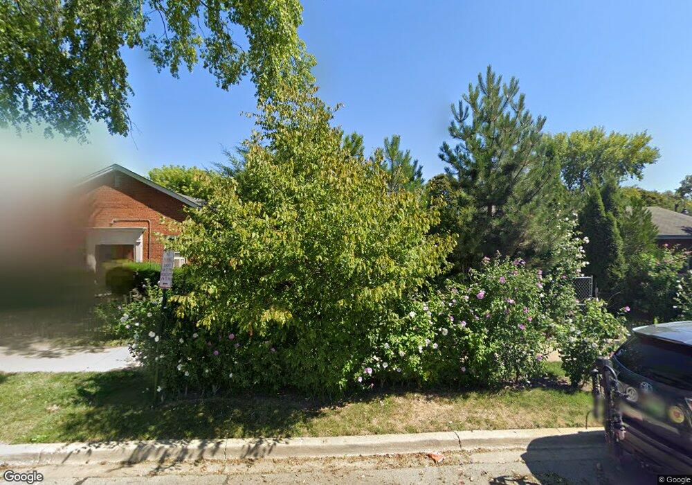
1747 Hovland Ct Evanston, IL 60201
West Evanston NeighborhoodEstimated Value: $268,000 - $371,000
2
Beds
1
Bath
768
Sq Ft
$411/Sq Ft
Est. Value
About This Home
This home is located at 1747 Hovland Ct, Evanston, IL 60201 and is currently estimated at $315,646, approximately $410 per square foot. 1747 Hovland Ct is a home located in Cook County with nearby schools including Willard Elementary School, Haven Middle School, and Evanston Township High School.
Ownership History
Date
Name
Owned For
Owner Type
Purchase Details
Closed on
Jun 29, 2005
Sold by
Caselberry Marion Shepard
Bought by
Garcia Gabriel R
Current Estimated Value
Home Financials for this Owner
Home Financials are based on the most recent Mortgage that was taken out on this home.
Original Mortgage
$159,750
Outstanding Balance
$83,876
Interest Rate
5.75%
Mortgage Type
Fannie Mae Freddie Mac
Estimated Equity
$231,770
Purchase Details
Closed on
Aug 27, 2004
Sold by
Casselberry Marian Shepard
Bought by
Casselberry Marian Shepard
Home Financials for this Owner
Home Financials are based on the most recent Mortgage that was taken out on this home.
Original Mortgage
$65,000
Interest Rate
7.25%
Mortgage Type
New Conventional
Create a Home Valuation Report for This Property
The Home Valuation Report is an in-depth analysis detailing your home's value as well as a comparison with similar homes in the area
Home Values in the Area
Average Home Value in this Area
Purchase History
| Date | Buyer | Sale Price | Title Company |
|---|---|---|---|
| Garcia Gabriel R | $177,500 | Cst | |
| Casselberry Marian Shepard | -- | Multiple |
Source: Public Records
Mortgage History
| Date | Status | Borrower | Loan Amount |
|---|---|---|---|
| Open | Garcia Gabriel R | $159,750 | |
| Previous Owner | Casselberry Marian Shepard | $65,000 |
Source: Public Records
Tax History Compared to Growth
Tax History
| Year | Tax Paid | Tax Assessment Tax Assessment Total Assessment is a certain percentage of the fair market value that is determined by local assessors to be the total taxable value of land and additions on the property. | Land | Improvement |
|---|---|---|---|---|
| 2024 | $4,281 | $21,000 | $5,400 | $15,600 |
| 2023 | $4,084 | $21,000 | $5,400 | $15,600 |
| 2022 | $4,084 | $21,000 | $5,400 | $15,600 |
| 2021 | $2,945 | $14,426 | $4,950 | $9,476 |
| 2020 | $2,965 | $14,426 | $4,950 | $9,476 |
| 2019 | $2,986 | $16,173 | $4,950 | $11,223 |
| 2018 | $3,236 | $15,247 | $4,050 | $11,197 |
| 2017 | $3,168 | $15,247 | $4,050 | $11,197 |
| 2016 | $3,227 | $15,247 | $4,050 | $11,197 |
| 2015 | $2,419 | $11,644 | $3,487 | $8,157 |
| 2014 | $2,410 | $11,644 | $3,487 | $8,157 |
| 2013 | $1,852 | $11,644 | $3,487 | $8,157 |
Source: Public Records
Map
Nearby Homes
- 1832 Hovland Ct
- 1801 Brown Ave
- 1718 Hovland Ct
- 1739 Dodge Ave
- 1813 Dodge Ave
- 1801 Lyons St
- 1808 Laurel Ave
- 2011 Grey Ave
- 1621 Church St
- 2005 Darrow Ave
- 1633 Mcdaniel Ave
- 2101 Pioneer Rd
- 2440 Simpson St
- 1918 Noyes St
- 1723 Greenwood St
- 2022 Mcdaniel Ave
- 2118 Jackson Ave
- 2026 Green Bay Rd
- 1910 Grant St
- 1600 Greenwood St
- 1745 Hovland Ct
- 1745 Hovland Ct
- 1801 Hovland Ct
- 1803 Hovland Ct
- 1746 Brown Ave
- 1748 Brown Ave
- 1744 Brown Ave
- 1750 Brown Ave
- 1742 Brown Ave
- 1807 Hovland Ct Unit S
- 1740 Brown Ave
- 1809 Hovland Ct
- 1802 Brown Ave
- 1738 Brown Ave
- 1746 Hovland Ct
- 1746 Hovland Ct
- 1746 Hovland Ct
- 1802 Hovland Ct
- 1802 Hovland Ct Unit 1
- 1802 Hovland Ct Unit 2