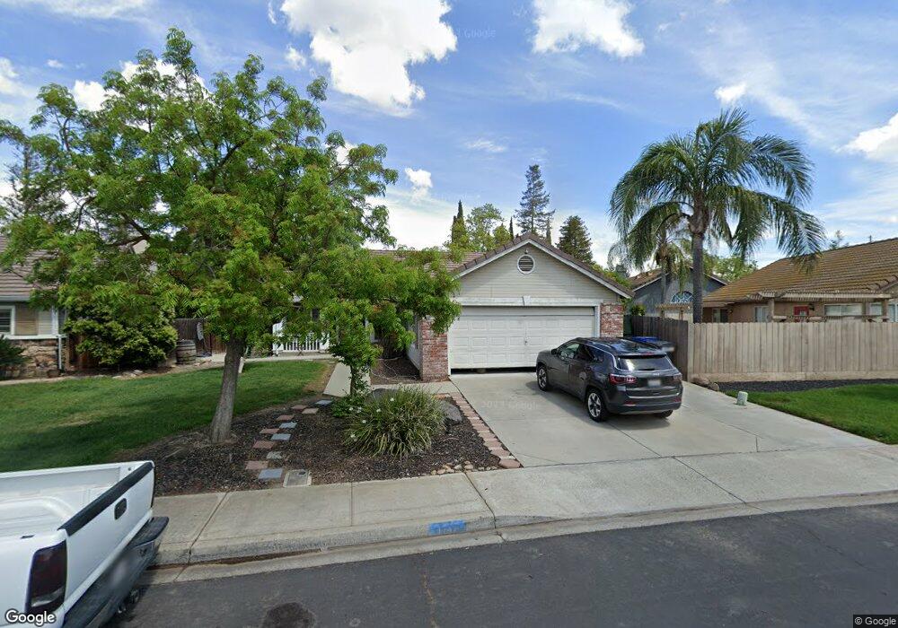
1747 Shadow Park Dr Turlock, CA 95380
Estimated Value: $342,000 - $466,000
3
Beds
2
Baths
1,374
Sq Ft
$312/Sq Ft
Est. Value
About This Home
This home is located at 1747 Shadow Park Dr, Turlock, CA 95380 and is currently estimated at $428,978, approximately $312 per square foot. 1747 Shadow Park Dr is a home located in Stanislaus County with nearby schools including Walter M. Brown Elementary School, Turlock Junior High School, and Marvin A. Dutcher Middle School.
Ownership History
Date
Name
Owned For
Owner Type
Purchase Details
Closed on
Oct 14, 1994
Sold by
Bright Development
Bought by
Williams Jennie L
Current Estimated Value
Home Financials for this Owner
Home Financials are based on the most recent Mortgage that was taken out on this home.
Original Mortgage
$66,000
Interest Rate
5.62%
Create a Home Valuation Report for This Property
The Home Valuation Report is an in-depth analysis detailing your home's value as well as a comparison with similar homes in the area
Purchase History
| Date | Buyer | Sale Price | Title Company |
|---|---|---|---|
| Williams Jennie L | $116,500 | Chicago Title Company |
Source: Public Records
Mortgage History
| Date | Status | Borrower | Loan Amount |
|---|---|---|---|
| Closed | Williams Jennie L | $66,000 |
Source: Public Records
Tax History
| Year | Tax Paid | Tax Assessment Tax Assessment Total Assessment is a certain percentage of the fair market value that is determined by local assessors to be the total taxable value of land and additions on the property. | Land | Improvement |
|---|---|---|---|---|
| 2025 | $2,048 | $195,663 | $58,777 | $136,886 |
| 2024 | $2,009 | $191,827 | $57,625 | $134,202 |
| 2023 | $2,004 | $188,067 | $56,496 | $131,571 |
| 2022 | $1,978 | $184,381 | $55,389 | $128,992 |
| 2021 | $1,948 | $180,766 | $54,303 | $126,463 |
| 2020 | $1,933 | $178,914 | $53,747 | $125,167 |
| 2019 | $1,900 | $175,407 | $52,694 | $122,713 |
| 2018 | $1,897 | $171,968 | $51,661 | $120,307 |
| 2017 | $1,851 | $168,598 | $50,649 | $117,949 |
| 2016 | $1,729 | $165,293 | $49,656 | $115,637 |
| 2015 | $1,713 | $162,812 | $48,911 | $113,901 |
| 2014 | $1,695 | $159,623 | $47,953 | $111,670 |
Source: Public Records
Map
Nearby Homes
- 1114 Kay Cir
- 2147 Sorrel Dr
- 1186 Kay Cir
- 2091 State St
- 2755 N Walnut Rd Unit 114
- 2470 Sea Lion Way
- 2065 Cody Ct
- 2375 Oxford Ave
- 1400 N Tully Rd Unit 120
- 1400 N Tully Rd Unit 91
- 1400 N Tully Rd Unit 168
- 2400 Fulkerth Rd
- 2660 Oxford Ave
- 2531 Craftsman St
- 2700 Oxford Ave
- 2450 Fulkerth Rd
- 2315 Merriment Ct
- 2621 Dels Ln
- 2098 Joett Dr
- 990 Shawnan Dr
- 1757 Shadow Park Dr
- 1685 Noble Ln
- 1695 Noble Ln
- 1665 Noble Ln
- 1767 Shadow Park Dr
- 1765 Noble Ln
- 1758 Shadow Park Dr
- 1645 Noble Ln
- 1777 Shadow Park Dr
- 1778 Shadow Park Dr
- 1696 Noble Ln
- 1785 Noble Ln
- 1686 Noble Ln
- 1726 Noble Ln
- 1787 Shadow Park Dr
- 1646 Noble Ln
- 1788 Shadow Park Dr
- 1746 Noble Ln
- 1666 Noble Ln
- 1814 Victoria Ct
Your Personal Tour Guide
Ask me questions while you tour the home.