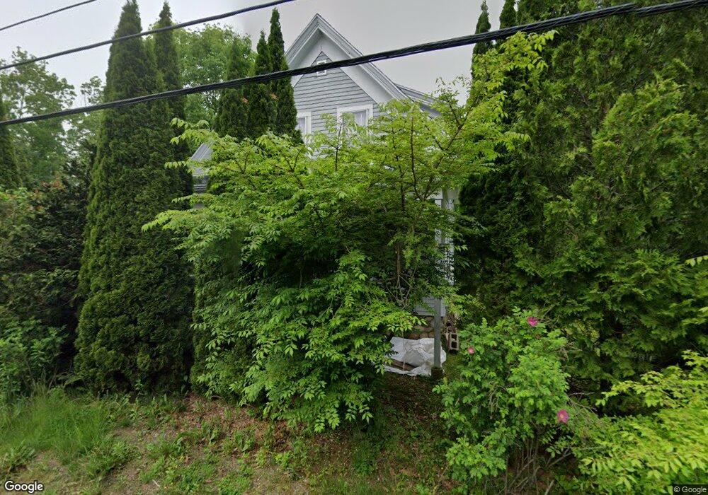
1748 State Route 32 Round Pond, ME 04564
Estimated Value: $277,402 - $603,000
3
Beds
1
Bath
1,176
Sq Ft
$363/Sq Ft
Est. Value
About This Home
This home is located at 1748 State Route 32, Round Pond, ME 04564 and is currently estimated at $426,601, approximately $362 per square foot. 1748 State Route 32 is a home located in Lincoln County with nearby schools including Bristol Consolidated School.
Create a Home Valuation Report for This Property
The Home Valuation Report is an in-depth analysis detailing your home's value as well as a comparison with similar homes in the area
Home Values in the Area
Average Home Value in this Area
Tax History Compared to Growth
Tax History
| Year | Tax Paid | Tax Assessment Tax Assessment Total Assessment is a certain percentage of the fair market value that is determined by local assessors to be the total taxable value of land and additions on the property. | Land | Improvement |
|---|---|---|---|---|
| 2024 | $1,584 | $178,000 | $74,300 | $103,700 |
| 2023 | $1,415 | $178,000 | $74,300 | $103,700 |
| 2022 | $1,282 | $178,000 | $74,300 | $103,700 |
| 2021 | $1,282 | $178,000 | $74,300 | $103,700 |
| 2020 | $1,291 | $178,000 | $74,300 | $103,700 |
| 2019 | $1,202 | $178,000 | $74,300 | $103,700 |
| 2018 | $1,113 | $178,000 | $74,300 | $103,700 |
| 2017 | $1,113 | $178,000 | $74,300 | $103,700 |
| 2016 | $837 | $105,900 | $39,700 | $66,200 |
| 2015 | $895 | $105,900 | $39,700 | $66,200 |
| 2014 | $837 | $105,900 | $39,700 | $66,200 |
| 2013 | $815 | $105,900 | $39,700 | $66,200 |
Source: Public Records
Map
Nearby Homes
- 153 Back Shore Rd
- Lot 68-11 Shore Rd
- 1276 State Route 32
- 272 Keene Neck Rd
- 0 Sodom Rd
- 31 Viking Way
- 003-D Lakeview Dr
- Lot # 6 Maine 32
- Lot 009 Reny Rd
- 688 Benner Rd
- Map10Lot5 Benner Rd
- 9 Bearces Hill Rd
- 359 Lower Round Pond Rd
- Lot 10.6 Louds Island
- M6L43 Biscay Rd
- 146 Lower Round Pond Rd
- 17 Eastwood Ct
- 1212 Bristol Rd
- 677 Benner Rd
- Lot 45-3 Mccurdy Rd
- 1751 State Route 32
- 1745 State Route 32
- 1725 State Route 32
- 1712 State Route 32
- 1776 State Route 32
- 1715 State Route 32
- 00 Louds Island Shores
- 6 Field Rd
- 2295 Maine 32
- 00 Rock School House Rd
- 81 Muscongus Point Rd
- 1794 State Route 32
- 80 Muscongus Point
- 0 Churches Point Rd Unit 1354420
- Lot 2-D
- 25 Muscongus Rd
- 17 Muscongus Rd
- 34 Muscongus Rd
- 5 High View Rd
- 18 Muscongus Rd