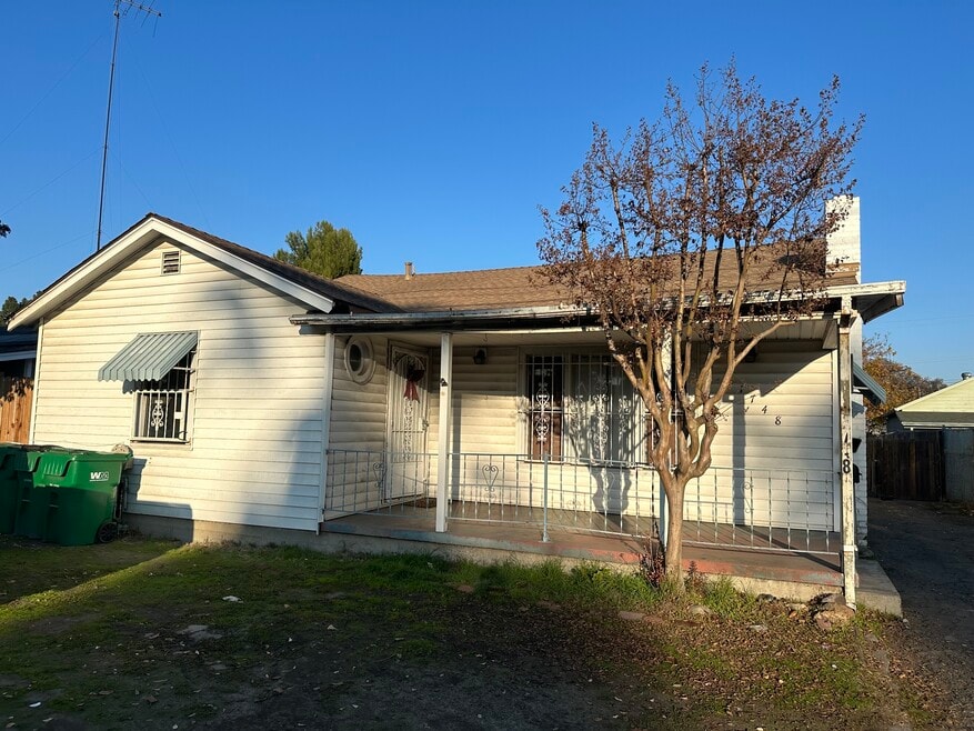
1748 West Ln Stockton, CA 95205
Midtown Neighborhood
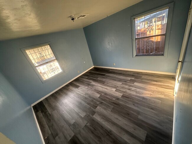
2
Beds
1
Bath
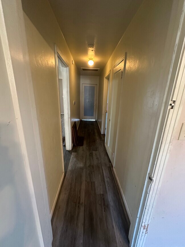
1,200
Sq Ft
10,498
Sq Ft Lot
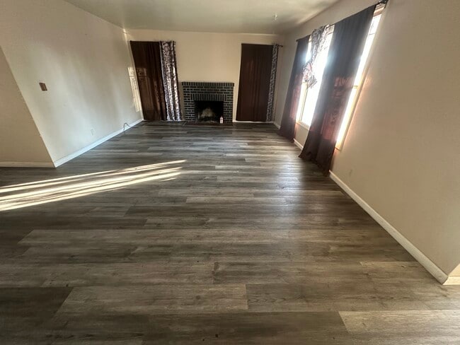
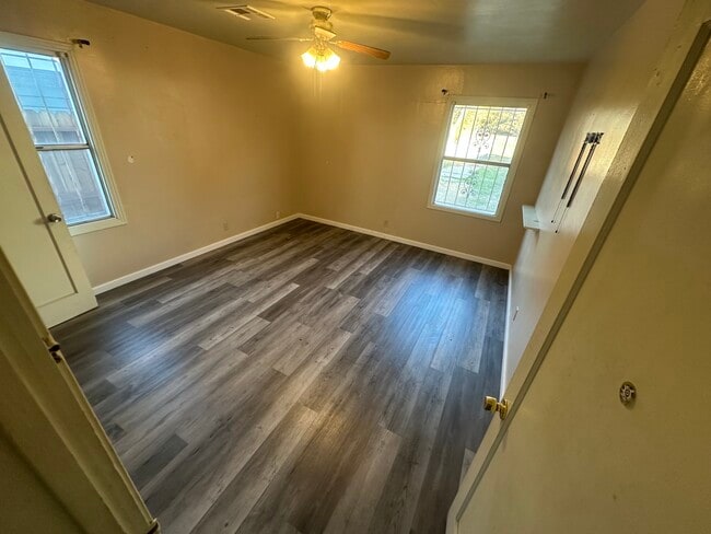
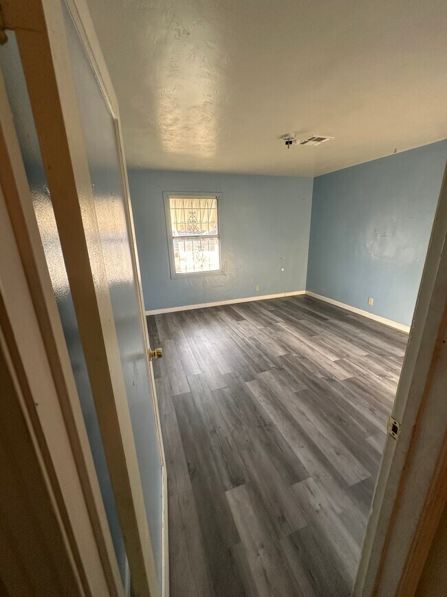
About This Home
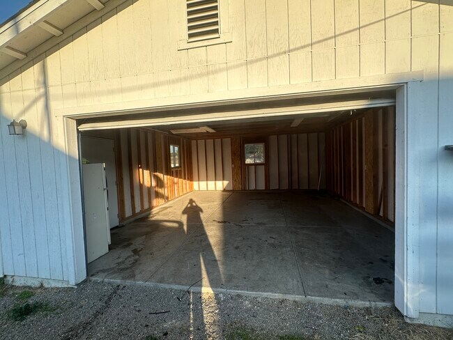
Two Bedroom one bath house . 1200 square feet , central heat and air . Located near schools . two car garage.. . Large back yard fenced in ..
Listing Provided By

Map
Nearby Homes
- 1765 N Stanford Ave
- 1217 E Harding Way
- 1272 N Airport Way
- 1751 Sycamore Ave
- 1702 Sunnyside Ave
- 1600 Sunnyside Ave
- 1257 Sunnyside Ave
- 1902 E Harding Way
- 1037 N Airport Way
- 1926 E Roosevelt St
- 1813 E Anita St
- 434 E Cleveland St
- 1845 E Poplar St
- 1143 E Park St
- 1404 Williams St
- 421 E Rose St
- 420 E Rose St
- 644 N Airport Way
- 1120 N Sutter St
- 465 E Geary St
- 1036 N Sutter St Unit 5
- 1036 N Sutter St Unit 4
- 512 N Pilgrim St Unit 512
- 329 E Mendocino Ave
- 1319 N Madison St
- 1320 N Monroe St
- 1025 N Madison St Unit 1025 N. Madison St.
- 1025 N Madison St Unit 3
- 1025 N Madison St Unit 9
- 117 E Grove St
- 102 W Fulton St Unit 102
- 104 W Fulton St Unit 104-a
- 650 Dave Brubeck Way Unit 7
- 4433 Continental Way
- 4770 West Ln
- 4479 La Cresta Way
- 1633 E Bianchi Rd
- 4545 Kentfield Rd
- 4550 Shelley Ct
- 1274 W Monterey Ave