1749 Max Rd Pearland, TX 77581
Estimated Value: $450,000 - $548,326
--
Bed
--
Bath
8,318
Sq Ft
$60/Sq Ft
Est. Value
About This Home
This home is located at 1749 Max Rd, Pearland, TX 77581 and is currently estimated at $495,109, approximately $59 per square foot. 1749 Max Rd is a home located in Brazoria County with nearby schools including E A Lawhon Elementary School, Leon H. Sablatura Middle School, and Pearland Junior High School West.
Ownership History
Date
Name
Owned For
Owner Type
Purchase Details
Closed on
Mar 6, 2014
Sold by
Beiber Stacey
Bought by
Bluestone Springs Llc
Current Estimated Value
Purchase Details
Closed on
Dec 3, 2009
Sold by
West Grange Llc
Bought by
Bieber Christopher B and Bieber Stacey
Home Financials for this Owner
Home Financials are based on the most recent Mortgage that was taken out on this home.
Original Mortgage
$248,000
Interest Rate
4.99%
Mortgage Type
Commercial
Purchase Details
Closed on
Sep 27, 2004
Sold by
Cole John L and Cole Della L
Bought by
West Grange Llc
Home Financials for this Owner
Home Financials are based on the most recent Mortgage that was taken out on this home.
Original Mortgage
$221,025
Interest Rate
5.81%
Mortgage Type
Commercial
Create a Home Valuation Report for This Property
The Home Valuation Report is an in-depth analysis detailing your home's value as well as a comparison with similar homes in the area
Home Values in the Area
Average Home Value in this Area
Purchase History
| Date | Buyer | Sale Price | Title Company |
|---|---|---|---|
| Bluestone Springs Llc | -- | Stewart Title Brazoria | |
| Bieber Christopher B | -- | Startex Title Company | |
| West Grange Llc | -- | Alamo Title Company |
Source: Public Records
Mortgage History
| Date | Status | Borrower | Loan Amount |
|---|---|---|---|
| Previous Owner | Bieber Christopher B | $248,000 | |
| Previous Owner | West Grange Llc | $221,025 |
Source: Public Records
Tax History Compared to Growth
Tax History
| Year | Tax Paid | Tax Assessment Tax Assessment Total Assessment is a certain percentage of the fair market value that is determined by local assessors to be the total taxable value of land and additions on the property. | Land | Improvement |
|---|---|---|---|---|
| 2025 | $9,579 | $396,790 | $319,100 | $77,690 |
| 2023 | $9,579 | $435,550 | $319,100 | $116,450 |
| 2022 | $7,356 | $305,780 | $207,470 | $98,310 |
| 2021 | $7,873 | $305,570 | $207,470 | $98,100 |
| 2020 | $8,213 | $304,390 | $207,470 | $96,920 |
| 2019 | $7,585 | $281,070 | $172,890 | $108,180 |
| 2018 | $7,552 | $281,070 | $172,890 | $108,180 |
| 2017 | $7,019 | $259,960 | $172,890 | $87,070 |
| 2016 | $6,839 | $253,260 | $172,890 | $80,370 |
| 2015 | $7,046 | $253,150 | $172,890 | $80,260 |
| 2014 | $7,046 | $253,230 | $172,890 | $80,340 |
Source: Public Records
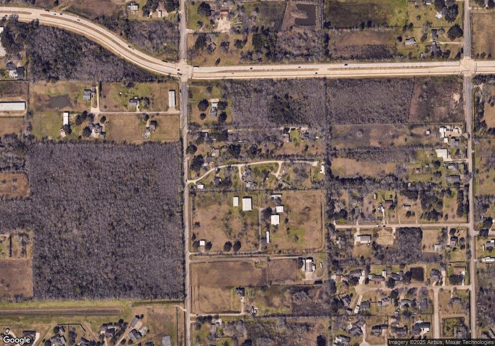
Map
Nearby Homes
- 1634 Roy Rd
- 1706 Roy Rd
- 00 Max Rd
- 1904 Stonegrove Ct
- 1745 Stone Rd
- 2012 Post Oak Ct
- 0000 Roy Rd
- 2008 Granite Pass Dr
- 8002 Seddon Rd
- 7610 River Pass Dr
- 2106 Granite Pass Dr
- 5127 Brookside Rd
- 1549 Garden Rd Unit 109
- 7825 Hughes Ranch Rd
- 8033 Mchard Rd Unit 106
- 1849 Garden Rd
- 7737 Brookside Rd
- 8210 Mchard Rd Unit 106
- 12746 Roy Rd
- 2123 Lee Rd
- 1749 Max Rd Unit 8
- 1749 Max Rd Unit 4
- 1749 Max Rd Unit 5
- 1749 Max Rd Unit 2
- 1733 Max Rd Unit 108
- 1833 Reid Blvd
- 1729 Max Rd Unit 108
- 1709 Max Rd
- 1701 Max Rd Unit 108
- 11304 Sapehrove Ln
- 1818 Sharon St
- 13410 Max Rd Unit 108
- 1905 Reid Blvd Unit 108
- 1710 Max Rd
- 7190 Sharon Dr
- 7129 Robin Sound St
- 16210 Max Rd
- 7125 Robin Sound St
- 1818 Roy Rd
- 1818 Roy Rd Unit 2