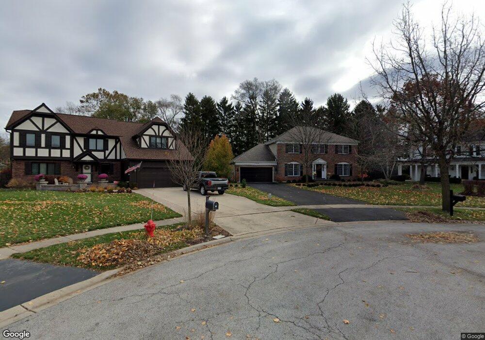
1749 Southampton Ct Geneva, IL 60134
Northwest Central Geneva NeighborhoodEstimated Value: $592,156 - $799,000
4
Beds
3
Baths
2,509
Sq Ft
$260/Sq Ft
Est. Value
About This Home
This home is located at 1749 Southampton Ct, Geneva, IL 60134 and is currently estimated at $653,289, approximately $260 per square foot. 1749 Southampton Ct is a home located in Kane County with nearby schools including Western Avenue Elementary School, Geneva Community High School, and St. Peter School.
Ownership History
Date
Name
Owned For
Owner Type
Purchase Details
Closed on
May 18, 2021
Sold by
Chedister William C and Chedister Lori E
Bought by
Chedister William C and Chedister Lori E
Current Estimated Value
Create a Home Valuation Report for This Property
The Home Valuation Report is an in-depth analysis detailing your home's value as well as a comparison with similar homes in the area
Home Values in the Area
Average Home Value in this Area
Purchase History
| Date | Buyer | Sale Price | Title Company |
|---|---|---|---|
| Chedister William C | -- | Attorney |
Source: Public Records
Tax History Compared to Growth
Tax History
| Year | Tax Paid | Tax Assessment Tax Assessment Total Assessment is a certain percentage of the fair market value that is determined by local assessors to be the total taxable value of land and additions on the property. | Land | Improvement |
|---|---|---|---|---|
| 2024 | $10,081 | $148,483 | $43,830 | $104,653 |
| 2023 | $10,418 | $134,984 | $39,845 | $95,139 |
| 2022 | $9,972 | $125,427 | $37,024 | $88,403 |
| 2021 | $9,679 | $120,765 | $35,648 | $85,117 |
| 2020 | $9,568 | $118,922 | $35,104 | $83,818 |
| 2019 | $9,543 | $116,670 | $34,439 | $82,231 |
| 2018 | $9,036 | $110,940 | $34,439 | $76,501 |
| 2017 | $8,933 | $107,982 | $33,521 | $74,461 |
| 2016 | $8,977 | $106,523 | $33,068 | $73,455 |
| 2015 | -- | $101,276 | $31,439 | $69,837 |
| 2014 | -- | $101,276 | $31,439 | $69,837 |
| 2013 | -- | $101,276 | $31,439 | $69,837 |
Source: Public Records
Map
Nearby Homes
- 1736 Kaneville Rd
- 1437 Cooper Ln
- 1530 Kaneville Rd
- 51 Burgess Rd
- 301 Country Club Place
- 124 S Pine St
- 1634 Scott Blvd
- 2300 Kaneville Rd
- 1211 James St
- 106 Bridgeport Ln
- 1417 Sherwood Ln
- 246 Kenston Ct Unit 246
- 921 Western Ave
- 747 Cheever Ave
- 221 Campbell Ct
- 1088 Dunstan Rd
- 520 N Pine St
- 527 Maple Ln
- 57 S 7th St
- 615 Easton Ave
- 1769 Southampton Ct
- 1745 Southampton Ct
- 1789 Southampton Ct
- 1765 Southampton Ct
- 400 Burgess Rd
- 1785 Southampton Ct
- 391 Southampton Dr
- 387 Southampton Dr
- 302 Burgess Rd
- 1819 Southampton Ct
- 395 Southampton Dr
- 1805 Southampton Ct
- 1889 Southampton Ct
- 1705 South St
- 1705 South St Unit A
- 1705 South St Unit D
- 399 Southampton Dr
- 1825 Southampton Ct
- 1750 Kaneville Rd
- 1770 Kaneville Rd