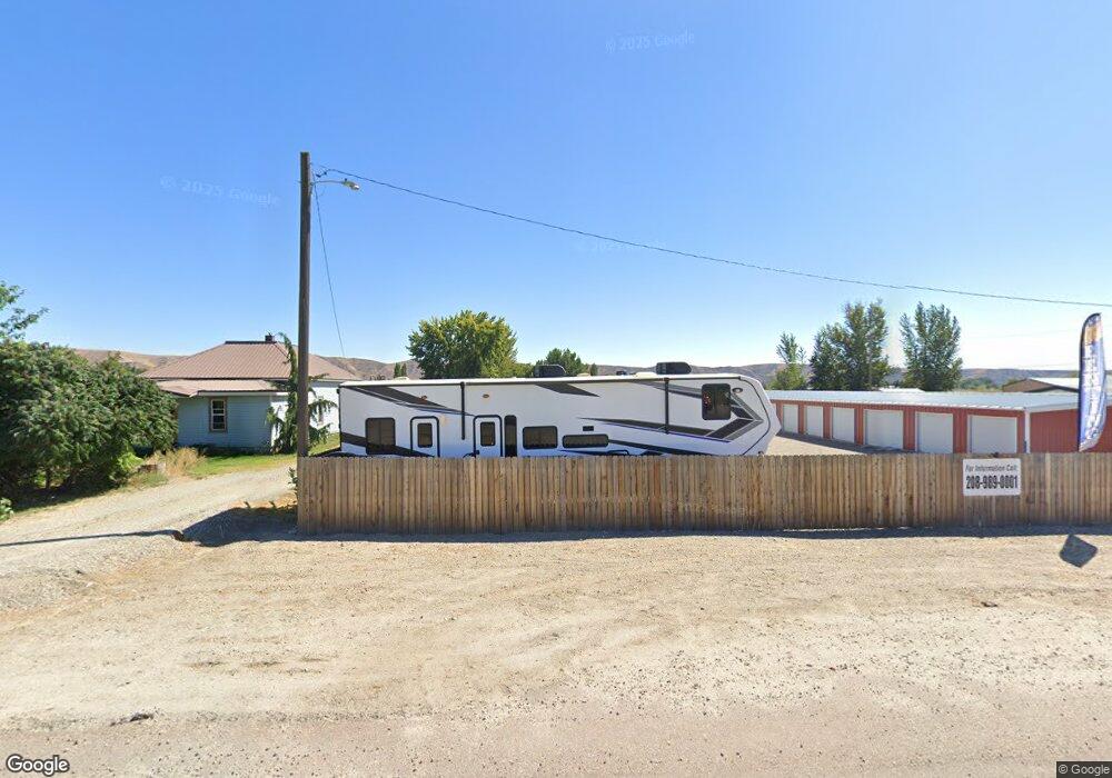
1749 W Highway 52 Emmett, ID 83617
Gem County NeighborhoodEstimated Value: $129,000
--
Bed
--
Bath
1,800
Sq Ft
$72/Sq Ft
Est. Value
About This Home
This home is located at 1749 W Highway 52, Emmett, ID 83617 and is currently priced at $129,000, approximately $71 per square foot. 1749 W Highway 52 is a home located in Gem County with nearby schools including Shadow Butte Elementary School and Calvary Christian Academy.
Ownership History
Date
Name
Owned For
Owner Type
Purchase Details
Closed on
Nov 8, 2024
Sold by
John And Michelle Dollar Revocable Trust and Dollar John H
Bought by
Dollars Mini Storage Llc
Current Estimated Value
Purchase Details
Closed on
Aug 23, 2021
Sold by
Clark Dale W and Clark Denise
Bought by
Dollar John H and Dollar Michelle R
Home Financials for this Owner
Home Financials are based on the most recent Mortgage that was taken out on this home.
Original Mortgage
$137,500
Interest Rate
2.7%
Mortgage Type
Purchase Money Mortgage
Purchase Details
Closed on
Aug 21, 2018
Sold by
Cox Lawrence S and Cox Annie
Bought by
Clark Dale W and Clark Denise
Purchase Details
Closed on
Apr 14, 2016
Sold by
Cochran Rhonda L
Bought by
Cox Lawrence S
Create a Home Valuation Report for This Property
The Home Valuation Report is an in-depth analysis detailing your home's value as well as a comparison with similar homes in the area
Home Values in the Area
Average Home Value in this Area
Purchase History
| Date | Buyer | Sale Price | Title Company |
|---|---|---|---|
| Dollars Mini Storage Llc | -- | None Listed On Document | |
| Dollars Mini Storage Llc | -- | None Listed On Document | |
| Dollar John H | -- | Pioneer Title Co Of Ada Cnty | |
| Clark Dale W | -- | Pioneer Title Co Of Gem C | |
| Cox Lawrence S | -- | None Available |
Source: Public Records
Mortgage History
| Date | Status | Borrower | Loan Amount |
|---|---|---|---|
| Previous Owner | Dollar John H | $137,500 |
Source: Public Records
Tax History Compared to Growth
Tax History
| Year | Tax Paid | Tax Assessment Tax Assessment Total Assessment is a certain percentage of the fair market value that is determined by local assessors to be the total taxable value of land and additions on the property. | Land | Improvement |
|---|---|---|---|---|
| 2024 | $3,977 | $1,375,671 | $149,000 | $1,226,671 |
| 2023 | $2,496 | $915,507 | $0 | $0 |
| 2021 | $678 | $114,224 | $87,756 | $26,468 |
| 2020 | $611 | $80,573 | $57,125 | $23,448 |
| 2019 | $534 | $65,948 | $42,500 | $23,448 |
| 2018 | $635 | $71,870 | $0 | $0 |
| 2017 | $511 | $95,770 | $37,500 | $58,270 |
| 2016 | $448 | $90,060 | $34,500 | $55,560 |
| 2015 | $522 | $84,900 | $0 | $0 |
| 2014 | $15,874 | $81,960 | $30,000 | $51,960 |
Source: Public Records
Map
Nearby Homes
- 2213 W Highway 52
- 3170 W Sales Yard Rd
- 3230 W Sales Yard Rd
- 729 S Mill Rd
- 1182 Dittman Dr
- 2412 S Mill Rd
- 1424 Mill Rd
- 1168 Kaetzel Way
- 878 W Jasper St
- Columbia 2530 Plan at Skyhawk
- 651 S Jayo Ct
- 672 W Jayo Ct
- 672 S Jayo Ct
- 652 S Jayo Ct
- 2223 W Sales Yard Rd
- 3345 Kings Ln
- 1116 Johnson Ave
- 3800 Birch Ln
- TBD Cascade Rd
- TBD S Commercial Ave
- 1749 W Highway 52
- 1745 W Highway 52
- 1797 W Highway 52
- 1813 W Highway 52
- 2506 Schiller Rd
- 1911 W Highway 52
- 1310 Airport Rd
- 1995 W Highway 52
- 1670 Airport Rd
- 1520 Airport Rd
- 1666 Airport Rd
- 2505 Schiller Rd
- 2477 Schiller Rd
- 1624 Airport Rd
- 2777 Schiller Rd
- 2461 Schiller Rd
- 1510 Airport Rd
- 2457 Schiller Rd
- 2519 Schiller Rd