Estimated Value: $456,807 - $573,000
3
Beds
2
Baths
1,570
Sq Ft
$317/Sq Ft
Est. Value
About This Home
This home is located at 1749 White Pond Rd, Athol, MA 01331 and is currently estimated at $497,952, approximately $317 per square foot. 1749 White Pond Rd is a home located in Worcester County with nearby schools including Athol High School.
Ownership History
Date
Name
Owned For
Owner Type
Purchase Details
Closed on
Apr 11, 2007
Sold by
King Daniel F and King Gayle L
Bought by
Roach Barbara A and Roach Donald E
Current Estimated Value
Home Financials for this Owner
Home Financials are based on the most recent Mortgage that was taken out on this home.
Original Mortgage
$60,000
Outstanding Balance
$36,457
Interest Rate
6.24%
Mortgage Type
Purchase Money Mortgage
Estimated Equity
$461,495
Create a Home Valuation Report for This Property
The Home Valuation Report is an in-depth analysis detailing your home's value as well as a comparison with similar homes in the area
Home Values in the Area
Average Home Value in this Area
Purchase History
| Date | Buyer | Sale Price | Title Company |
|---|---|---|---|
| Roach Barbara A | $263,000 | -- |
Source: Public Records
Mortgage History
| Date | Status | Borrower | Loan Amount |
|---|---|---|---|
| Open | Roach Barbara A | $60,000 |
Source: Public Records
Tax History Compared to Growth
Tax History
| Year | Tax Paid | Tax Assessment Tax Assessment Total Assessment is a certain percentage of the fair market value that is determined by local assessors to be the total taxable value of land and additions on the property. | Land | Improvement |
|---|---|---|---|---|
| 2025 | $5,290 | $416,200 | $116,000 | $300,200 |
| 2024 | $5,268 | $410,600 | $116,000 | $294,600 |
| 2023 | $4,846 | $345,149 | $74,749 | $270,400 |
| 2022 | $4,690 | $292,200 | $71,200 | $221,000 |
| 2021 | $0 | $276,187 | $64,687 | $211,500 |
| 2020 | $0 | $271,100 | $58,900 | $212,200 |
| 2019 | $4,485 | $257,000 | $55,300 | $201,700 |
| 2018 | $0 | $233,900 | $50,300 | $183,600 |
| 2017 | $4,198 | $205,800 | $50,300 | $155,500 |
| 2016 | $3,974 | $200,400 | $51,800 | $148,600 |
| 2015 | $3,814 | $200,400 | $51,800 | $148,600 |
| 2014 | $3,693 | $200,400 | $51,800 | $148,600 |
Source: Public Records
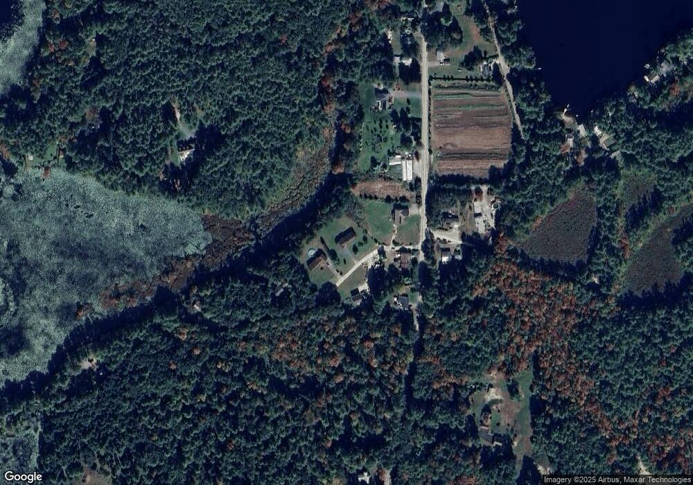
Map
Nearby Homes
- 1753 White Pond Rd
- 1745 White Pond Rd
- 1751 White Pond Rd
- 1747 White Pond Rd
- 1819 White Pond Rd
- 1799 White Pond Rd
- 1851 White Pond Rd
- 1743 White Pond Rd
- 1808 White Pond Rd
- 1792 White Pond Rd
- 1794 White Pond Rd
- 1711 White Pond Rd
- 1805 White Pond Rd
- 1805 White Pond Rd
- 1805 Off White Pond Rd
- 68 Barnes Rd
- 1675 White Pond Rd
- 1661 White Pond Rd
- 1676 White Pond Rd
- 129 Northern Ave