175 Akwa Vista Laconia, NH 03246
Estimated Value: $2,106,000 - $5,967,000
5
Beds
5
Baths
6,081
Sq Ft
$595/Sq Ft
Est. Value
About This Home
This home is located at 175 Akwa Vista, Laconia, NH 03246 and is currently estimated at $3,619,202, approximately $595 per square foot. 175 Akwa Vista is a home located in Belknap County with nearby schools including Laconia Middle School and Laconia High School.
Ownership History
Date
Name
Owned For
Owner Type
Purchase Details
Closed on
Dec 4, 2020
Sold by
Akwa Vista Llc
Bought by
Joseph and Joseph Frassica K
Current Estimated Value
Home Financials for this Owner
Home Financials are based on the most recent Mortgage that was taken out on this home.
Original Mortgage
$210,000
Outstanding Balance
$195,669
Interest Rate
5.75%
Mortgage Type
New Conventional
Estimated Equity
$3,423,533
Create a Home Valuation Report for This Property
The Home Valuation Report is an in-depth analysis detailing your home's value as well as a comparison with similar homes in the area
Home Values in the Area
Average Home Value in this Area
Purchase History
| Date | Buyer | Sale Price | Title Company |
|---|---|---|---|
| Joseph | $810,000 | None Available |
Source: Public Records
Mortgage History
| Date | Status | Borrower | Loan Amount |
|---|---|---|---|
| Open | Joseph | $210,000 |
Source: Public Records
Tax History Compared to Growth
Tax History
| Year | Tax Paid | Tax Assessment Tax Assessment Total Assessment is a certain percentage of the fair market value that is determined by local assessors to be the total taxable value of land and additions on the property. | Land | Improvement |
|---|---|---|---|---|
| 2024 | $25,157 | $1,845,700 | $762,300 | $1,083,400 |
| 2023 | $23,313 | $1,676,000 | $669,300 | $1,006,700 |
| 2022 | $22,481 | $1,513,900 | $803,100 | $710,800 |
| 2021 | $10,171 | $539,300 | $539,300 | $0 |
| 2020 | $10,635 | $539,300 | $539,300 | $0 |
| 2019 | $11,104 | $539,300 | $539,300 | $0 |
| 2018 | $8,747 | $419,500 | $419,500 | $0 |
| 2017 | $8,822 | $419,500 | $419,500 | $0 |
| 2016 | $7,539 | $339,600 | $339,600 | $0 |
| 2015 | $7,945 | $357,900 | $357,900 | $0 |
| 2014 | $7,961 | $355,400 | $355,400 | $0 |
| 2013 | $7,443 | $337,100 | $337,100 | $0 |
Source: Public Records
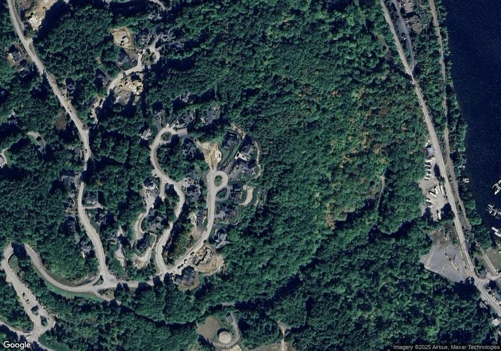
Map
Nearby Homes
- 20 Keepers Ln
- 60 Lighthouse Cliffs
- 63 Commanders Helm
- 375 Endicott St N Unit 312
- 375 Endicott St N Unit 105/105A
- 375 Endicott St N Unit 103
- 23 Deadreckoning Point
- UNIT 52 Stonewall Corners Way Unit 52
- 6 Windjammer's Ridge
- 0 Endicott St N Unit 5019223
- 0 Endicott St N Unit 5019220
- 0 Endicott St N Unit 4998140
- 0 Endicott St N Unit 4998136
- 0 Endicott St N Unit 5019224
- 0 Endicott St N Unit 5019227
- 0 Endicott St N Unit 4998143
- 8 Deadreckoning Point
- 126 Soleil Mountain
- 59 Treetop Cir Unit 435 (Chestnut Buildi
- 97 Soleil Mountain Unit 82
- 175 Akwa Vista Unit 129
- 171 Akwa Vista
- 171 Akwa Vista Unit 128
- 177 Akwa Vista Unit 89
- 179 Akwa Vista Unit 90
- 157 Akwa Vista
- 157 Akwa Vista Unit 127
- Lot 127 Akwa Vista
- 37 Lighthouse Cliffs
- 47 Lighthouse Cliffs
- 79 Lighthouse Cliffs
- 79 Lighthouse Cliffs Unit 163
- 77 Lighthouse Cliffs
- 150 Akwa Vista
- 150 Akwa Vista Unit 119
- Lot 163 Lighthouse Cliffs
- Lot 117 Lighthouse Cliffs
- Lot 118 Lighthouse Cliffs
- 81 Lighthouse Cliffs
- 63 Lighthouse Cliffs