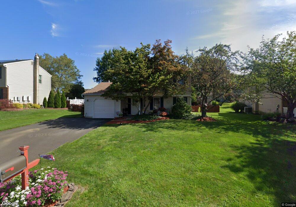
175 Argyle Rd Langhorne, PA 19047
Estimated Value: $417,000 - $665,000
3
Beds
2
Baths
1,578
Sq Ft
$355/Sq Ft
Est. Value
About This Home
This home is located at 175 Argyle Rd, Langhorne, PA 19047 and is currently estimated at $559,748, approximately $354 per square foot. 175 Argyle Rd is a home located in Bucks County with nearby schools including Pearl S. Buck Elementary School, Maple Point Middle School, and Neshaminy High School.
Ownership History
Date
Name
Owned For
Owner Type
Purchase Details
Closed on
Apr 20, 1994
Sold by
Blackadar Glenn G and Blackadar Lynda J
Bought by
Shields Michael H and Shields Elaine M
Current Estimated Value
Home Financials for this Owner
Home Financials are based on the most recent Mortgage that was taken out on this home.
Original Mortgage
$125,100
Interest Rate
7.7%
Purchase Details
Closed on
Oct 9, 1990
Bought by
Blackadar Glenn G and Blackadar Lynda J
Create a Home Valuation Report for This Property
The Home Valuation Report is an in-depth analysis detailing your home's value as well as a comparison with similar homes in the area
Home Values in the Area
Average Home Value in this Area
Purchase History
| Date | Buyer | Sale Price | Title Company |
|---|---|---|---|
| Shields Michael H | $139,000 | -- | |
| Blackadar Glenn G | $143,000 | -- |
Source: Public Records
Mortgage History
| Date | Status | Borrower | Loan Amount |
|---|---|---|---|
| Closed | Shields Michael H | $125,100 |
Source: Public Records
Tax History
| Year | Tax Paid | Tax Assessment Tax Assessment Total Assessment is a certain percentage of the fair market value that is determined by local assessors to be the total taxable value of land and additions on the property. | Land | Improvement |
|---|---|---|---|---|
| 2025 | $6,499 | $29,850 | $6,400 | $23,450 |
| 2024 | $6,499 | $29,850 | $6,400 | $23,450 |
| 2023 | $6,395 | $29,850 | $6,400 | $23,450 |
| 2022 | $6,227 | $29,850 | $6,400 | $23,450 |
| 2021 | $6,227 | $29,850 | $6,400 | $23,450 |
| 2020 | $6,153 | $29,850 | $6,400 | $23,450 |
| 2019 | $6,015 | $29,850 | $6,400 | $23,450 |
| 2018 | $5,905 | $29,850 | $6,400 | $23,450 |
| 2017 | $5,754 | $29,850 | $6,400 | $23,450 |
| 2016 | $5,754 | $29,850 | $6,400 | $23,450 |
| 2015 | $5,944 | $29,850 | $6,400 | $23,450 |
| 2014 | $5,944 | $29,850 | $6,400 | $23,450 |
Source: Public Records
Map
Nearby Homes
- 350 Shady Brook Dr Unit 183
- 212 Shady Brook Dr Unit 283
- 0 Route 413 Bypass Unit PABU2115308
- 626A Palmer Ln Unit A
- 1302 Waterford Rd Unit 8
- 1004 Waterford Rd
- 1003 Waterford Rd Unit 158
- 1536 Carlene Ct
- 443 Knollbrook Dr
- 3406 Sterling Rd Unit 123
- 612 Double Woods Rd
- 284 Willow Dr
- 465 Cedar Hollow Dr Unit 153
- 680 Atkinson Ln
- 35 David Dr
- 55 Violet Ln Unit 158E
- 11103 Cornerstone Dr Unit 21
- 54 Kanon Ct
- 4 Independence Place
- 25 Independence Place
Your Personal Tour Guide
Ask me questions while you tour the home.