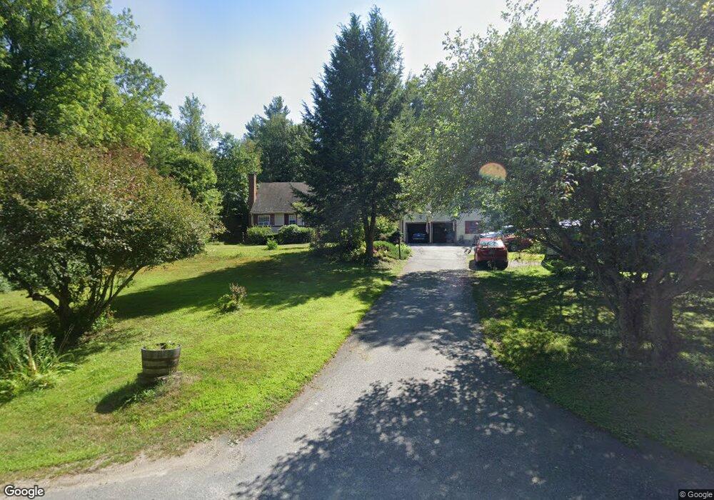
175 Bennington Rd Hancock, NH 03449
Estimated Value: $451,239 - $504,000
3
Beds
3
Baths
2,283
Sq Ft
$207/Sq Ft
Est. Value
About This Home
This home is located at 175 Bennington Rd, Hancock, NH 03449 and is currently estimated at $472,060, approximately $206 per square foot. 175 Bennington Rd is a home with nearby schools including Hancock Elementary School, Great Brook School, and Conval Regional High School.
Ownership History
Date
Name
Owned For
Owner Type
Purchase Details
Closed on
Jun 28, 2002
Sold by
Pothier Clarence and Pothier Roberta
Bought by
Sharpe Robert M and Sharpe Karen M
Current Estimated Value
Home Financials for this Owner
Home Financials are based on the most recent Mortgage that was taken out on this home.
Original Mortgage
$144,009
Interest Rate
6.92%
Create a Home Valuation Report for This Property
The Home Valuation Report is an in-depth analysis detailing your home's value as well as a comparison with similar homes in the area
Home Values in the Area
Average Home Value in this Area
Purchase History
| Date | Buyer | Sale Price | Title Company |
|---|---|---|---|
| Sharpe Robert M | $168,000 | -- |
Source: Public Records
Mortgage History
| Date | Status | Borrower | Loan Amount |
|---|---|---|---|
| Open | Sharpe Robert M | $185,596 | |
| Closed | Sharpe Robert M | $198,000 | |
| Closed | Sharpe Robert M | $144,009 |
Source: Public Records
Tax History
| Year | Tax Paid | Tax Assessment Tax Assessment Total Assessment is a certain percentage of the fair market value that is determined by local assessors to be the total taxable value of land and additions on the property. | Land | Improvement |
|---|---|---|---|---|
| 2024 | $5,979 | $238,100 | $72,500 | $165,600 |
| 2023 | $5,750 | $238,100 | $72,500 | $165,600 |
| 2022 | $5,193 | $238,100 | $72,500 | $165,600 |
| 2020 | $5,346 | $203,900 | $51,900 | $152,000 |
| 2019 | $5,016 | $203,900 | $51,900 | $152,000 |
| 2018 | $4,806 | $203,900 | $51,900 | $152,000 |
| 2016 | $4,680 | $202,500 | $51,900 | $150,600 |
| 2015 | $4,558 | $205,400 | $53,500 | $151,900 |
| 2014 | $4,601 | $205,400 | $53,500 | $151,900 |
| 2012 | $4,285 | $206,000 | $53,500 | $152,500 |
Source: Public Records
Map
Nearby Homes
- 31 Moose Brook Ln
- 38 Moose Brook Ln
- 18 Antrim Rd
- 38 Main St
- 7 Spring Hill Rd
- Lot R11-11-1 Forest Rd
- 29 Bonds Corner Rd
- 8 Main St
- 0 Cavender Rd Unit 5
- 10 Old Stagecoach Rd
- 25 Halcyon Place
- 166 Prospect Hill Rd
- 137 Muzzy Hill Rd
- 1388 Forest Rd
- 185 Larkin Hill Rd
- 13 Acadia Ave
- 44 Buttercup Ln
- 146 Old Bennington Rd
- 4 Tannery Hill Rd
- 13 Elm St
- 177 Bennington Rd
- 181 Bennington Rd
- 8 Memory Ln
- 14 Memory Ln
- 164 Bennington Rd
- 7 Adams Ln
- 192 Bennington Rd
- 162 Bennington Rd
- 26 Moose Brook Ln
- 160 Bennington Rd
- 194 Bennington Rd
- 28 Moose Brook Ln
- 155 Bennington Rd
- 9 Caverly Ln
- 12 Moose Brook Ln
- 10 Moose Brook Ln
- 148 Bennington Rd
- 00 Moose Brook Ln
- 147 Bennington Rd
- 000 Bennington Rd
Your Personal Tour Guide
Ask me questions while you tour the home.