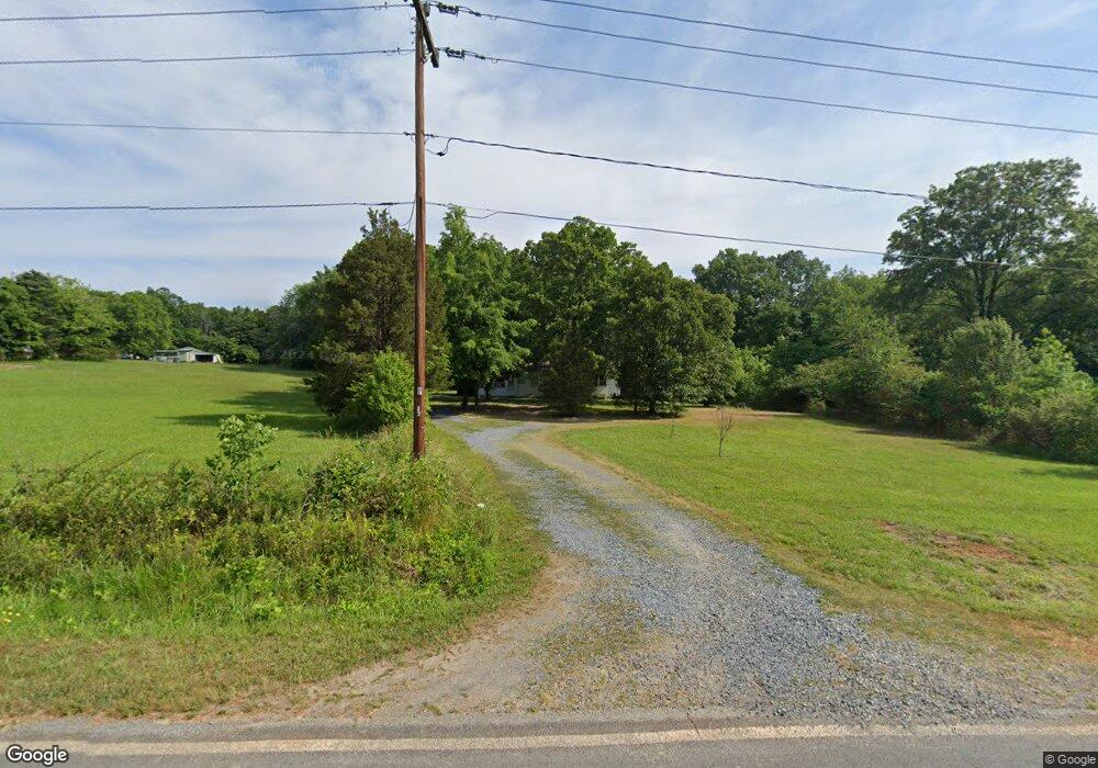
175 Carter Davis Rd Denton, NC 27239
Estimated Value: $150,000 - $258,000
2
Beds
3
Baths
1,600
Sq Ft
$126/Sq Ft
Est. Value
About This Home
This home is located at 175 Carter Davis Rd, Denton, NC 27239 and is currently estimated at $201,105, approximately $125 per square foot. 175 Carter Davis Rd is a home located in Davidson County with nearby schools including Denton Elementary School and South Davidson Middle and High School.
Ownership History
Date
Name
Owned For
Owner Type
Purchase Details
Closed on
Jan 9, 2015
Sold by
Myers Leslie Garner and Bowlby Jonathan Richard
Bought by
Bowlby Leslie
Current Estimated Value
Home Financials for this Owner
Home Financials are based on the most recent Mortgage that was taken out on this home.
Original Mortgage
$87,850
Interest Rate
3.9%
Mortgage Type
New Conventional
Purchase Details
Closed on
Jun 20, 2006
Sold by
Henderson Janel Anderosn and Henderson Thomas M
Bought by
Myers Leslie Garner
Home Financials for this Owner
Home Financials are based on the most recent Mortgage that was taken out on this home.
Original Mortgage
$76,000
Interest Rate
6.51%
Mortgage Type
Purchase Money Mortgage
Purchase Details
Closed on
Apr 22, 2003
Bought by
Anderson Janet
Purchase Details
Closed on
Apr 1, 2003
Create a Home Valuation Report for This Property
The Home Valuation Report is an in-depth analysis detailing your home's value as well as a comparison with similar homes in the area
Purchase History
| Date | Buyer | Sale Price | Title Company |
|---|---|---|---|
| Bowlby Leslie | -- | Servicelink | |
| Myers Leslie Garner | $55,000 | None Available | |
| Anderson Janet | -- | -- | |
| -- | -- | -- |
Source: Public Records
Mortgage History
| Date | Status | Borrower | Loan Amount |
|---|---|---|---|
| Previous Owner | Bowlby Leslie | $87,850 | |
| Previous Owner | Myers Leslie Garner | $76,000 |
Source: Public Records
Tax History
| Year | Tax Paid | Tax Assessment Tax Assessment Total Assessment is a certain percentage of the fair market value that is determined by local assessors to be the total taxable value of land and additions on the property. | Land | Improvement |
|---|---|---|---|---|
| 2025 | $609 | $96,610 | $0 | $0 |
| 2024 | $609 | $96,610 | $0 | $0 |
| 2023 | $618 | $96,610 | $0 | $0 |
| 2022 | $609 | $96,610 | $0 | $0 |
| 2021 | $609 | $96,610 | $0 | $0 |
| 2020 | $564 | $89,440 | $0 | $0 |
| 2019 | $555 | $89,440 | $0 | $0 |
| 2018 | $537 | $89,440 | $0 | $0 |
| 2017 | $537 | $89,440 | $0 | $0 |
| 2016 | $537 | $89,440 | $0 | $0 |
| 2015 | $537 | $89,440 | $0 | $0 |
| 2014 | $630 | $105,040 | $0 | $0 |
Source: Public Records
Map
Nearby Homes
- 532 N Main St
- 148 Garner St
- 242 Sturdivant Rd
- 108 N Bingham St
- 178 E Salisbury St
- 61 Haywood St
- 166 S Main St
- 398 E Salisbury St
- 17980 S Nc Highway 109
- 434 E Salisbury St
- 0 Jones St
- 952 Flat Swamp Rd
- 165 Brown St
- 354 Anderson St
- 141 W Noell Ave
- 149 Seeley Dr
- 320 Forest Park Dr
- 187 Eastside Dr
- 278 Forest Park Dr
- 0000 Bombay Rd
- 235 Carter Davis Rd
- 388 Carter Lumber Plant Rd
- 12749 Nc Highway 47
- 12754 Nc Highway 47
- 157 Ar Morris Rd
- 522 Sturdivant Rd
- 360 Carter Lumber Plant Rd
- 501 N Main St
- 558 N Jones St
- 467 N Main St
- 452 N Jones St
- 12900 Nc Highway 47
- 590 N Main St
- 562 N Main St
- 592 N Main St
- 560 N Main St
- 489 Sturdivant Rd
- 530 N Main St
- 622 N Main St
- 439 N Main St
Your Personal Tour Guide
Ask me questions while you tour the home.