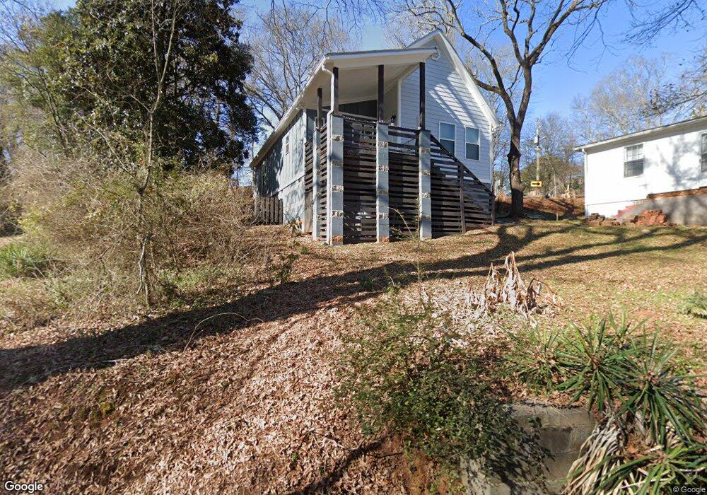
175 Carter St Athens, GA 30606
Baxter NeighborhoodEstimated Value: $146,000 - $316,205
--
Bed
--
Bath
1,086
Sq Ft
$209/Sq Ft
Est. Value
About This Home
This home is located at 175 Carter St, Athens, GA 30606 and is currently estimated at $226,551, approximately $208 per square foot. 175 Carter St is a home with nearby schools including Bettye Henderson Holston Elementary School, Clarke Middle School, and Clarke Central High School.
Ownership History
Date
Name
Owned For
Owner Type
Purchase Details
Closed on
Jun 18, 2025
Sold by
Athens Area Habitat For Humanity Inc
Bought by
Arrington April Mae
Current Estimated Value
Home Financials for this Owner
Home Financials are based on the most recent Mortgage that was taken out on this home.
Original Mortgage
$25,000
Outstanding Balance
$24,902
Interest Rate
6.86%
Mortgage Type
New Conventional
Estimated Equity
$201,649
Purchase Details
Closed on
Dec 29, 2020
Sold by
Brown Shevonda
Bought by
Athens Area Habitat For Humanity Inc
Purchase Details
Closed on
Jul 31, 2014
Sold by
Athens Area Habitat For Hu
Bought by
Brown Shevonda
Home Financials for this Owner
Home Financials are based on the most recent Mortgage that was taken out on this home.
Original Mortgage
$64,000
Interest Rate
4.16%
Mortgage Type
New Conventional
Purchase Details
Closed on
Oct 23, 2006
Sold by
Not Provided
Bought by
Athens Area Habitat For Humani
Purchase Details
Closed on
Apr 6, 1994
Sold by
Tillman Matthew
Bought by
Tillman Robert L
Create a Home Valuation Report for This Property
The Home Valuation Report is an in-depth analysis detailing your home's value as well as a comparison with similar homes in the area
Home Values in the Area
Average Home Value in this Area
Purchase History
| Date | Buyer | Sale Price | Title Company |
|---|---|---|---|
| Arrington April Mae | $143,640 | -- | |
| Athens Area Habitat For Humanity Inc | $24,627 | -- | |
| Brown Shevonda | $92,000 | -- | |
| Athens Area Habitat For Humani | $19,500 | -- | |
| Tillman Robert L | -- | -- |
Source: Public Records
Mortgage History
| Date | Status | Borrower | Loan Amount |
|---|---|---|---|
| Open | Arrington April Mae | $25,000 | |
| Open | Arrington April Mae | $143,640 | |
| Previous Owner | Brown Shevonda | $64,000 |
Source: Public Records
Tax History Compared to Growth
Tax History
| Year | Tax Paid | Tax Assessment Tax Assessment Total Assessment is a certain percentage of the fair market value that is determined by local assessors to be the total taxable value of land and additions on the property. | Land | Improvement |
|---|---|---|---|---|
| 2025 | $4,154 | $133,770 | $16,000 | $117,770 |
| 2024 | $4,154 | $121,156 | $15,000 | $106,156 |
| 2023 | $3,786 | $115,469 | $15,000 | $100,469 |
| 2022 | $3,107 | $97,409 | $15,000 | $82,409 |
| 2021 | $2,562 | $76,010 | $15,000 | $61,010 |
| 2020 | $1,850 | $64,888 | $8,000 | $56,888 |
| 2019 | $1,462 | $53,070 | $8,000 | $45,070 |
| 2018 | $1,068 | $41,452 | $6,000 | $35,452 |
| 2017 | $872 | $35,680 | $6,000 | $29,680 |
| 2016 | $844 | $34,856 | $6,000 | $28,856 |
| 2015 | $631 | $28,535 | $6,000 | $22,535 |
| 2014 | $972 | $28,535 | $6,000 | $22,535 |
Source: Public Records
Map
Nearby Homes
- 1398 W Hancock Ave
- 1055 Baxter St Unit 504
- 206 Fortson Dr
- 525 King Ave
- 224 Fortson Dr
- 105 Magnolia Terrace
- 1226 W Broad St
- 145 Sunset Dr
- 338 Springdale St
- 169 Fortson Cir
- 597 Dearing St
- 1198 W West Hancock Ave W
- 1196 W Hancock Ave Unit 1
- 215 Holman Ave
- 283 King Ave
- 577 W Cloverhurst Ave
- 480 N Billups St
- 265 Springdale St
- 100 Crestview Cir
- 500 Dearing St Unit 6