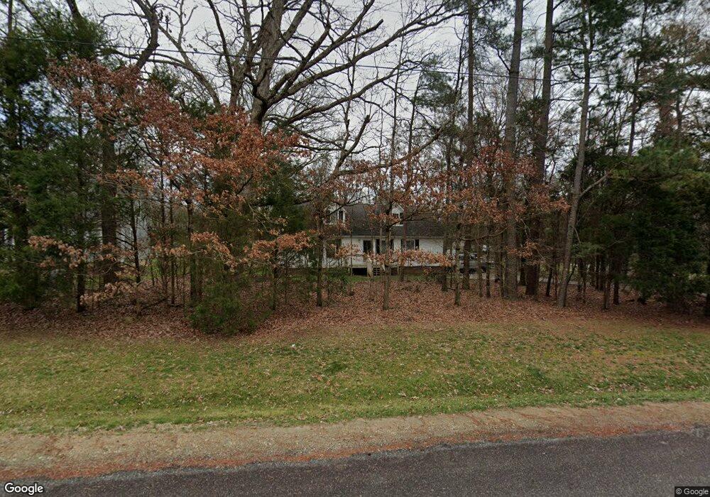
175 Daniels Rd Salisbury, NC 28144
Estimated Value: $317,094 - $341,000
--
Bed
2
Baths
1,989
Sq Ft
$165/Sq Ft
Est. Value
About This Home
This home is located at 175 Daniels Rd, Salisbury, NC 28144 and is currently estimated at $328,024, approximately $164 per square foot. 175 Daniels Rd is a home located in Rowan County with nearby schools including North Rowan Elementary School, North Rowan Middle School, and North Rowan High School.
Ownership History
Date
Name
Owned For
Owner Type
Purchase Details
Closed on
Feb 28, 2012
Sold by
Hill Ginger F and Wiersma Ginger Lea
Bought by
Spry Michael Edward and Spry Jennifer Simmons
Current Estimated Value
Home Financials for this Owner
Home Financials are based on the most recent Mortgage that was taken out on this home.
Original Mortgage
$100,000
Outstanding Balance
$41,353
Interest Rate
3.91%
Mortgage Type
New Conventional
Estimated Equity
$286,671
Create a Home Valuation Report for This Property
The Home Valuation Report is an in-depth analysis detailing your home's value as well as a comparison with similar homes in the area
Home Values in the Area
Average Home Value in this Area
Purchase History
| Date | Buyer | Sale Price | Title Company |
|---|---|---|---|
| Spry Michael Edward | $128,000 | None Available |
Source: Public Records
Mortgage History
| Date | Status | Borrower | Loan Amount |
|---|---|---|---|
| Open | Spry Michael Edward | $100,000 |
Source: Public Records
Tax History Compared to Growth
Tax History
| Year | Tax Paid | Tax Assessment Tax Assessment Total Assessment is a certain percentage of the fair market value that is determined by local assessors to be the total taxable value of land and additions on the property. | Land | Improvement |
|---|---|---|---|---|
| 2025 | $1,718 | $256,450 | $28,000 | $228,450 |
| 2024 | $1,718 | $256,450 | $28,000 | $228,450 |
| 2023 | $1,718 | $256,450 | $28,000 | $228,450 |
| 2022 | $1,260 | $168,608 | $20,500 | $148,108 |
| 2021 | $1,229 | $168,608 | $20,500 | $148,108 |
| 2020 | $1,229 | $168,608 | $20,500 | $148,108 |
| 2019 | $1,229 | $168,608 | $20,500 | $148,108 |
| 2018 | $1,035 | $143,153 | $20,500 | $122,653 |
| 2017 | $1,035 | $143,153 | $20,500 | $122,653 |
| 2016 | $1,035 | $143,153 | $20,500 | $122,653 |
| 2015 | $1,051 | $143,153 | $20,500 | $122,653 |
| 2014 | $923 | $128,184 | $20,500 | $107,684 |
Source: Public Records
Map
Nearby Homes
- 250 Greenway Dr
- 450 E Ridge Rd Unit 17-18
- 0 Elizabeth Ave Unit 48-49 CAR4299122
- 4355 Franklin Community Center Rd
- 310 Jacobs Dr
- 1219 Amberlight Cir
- 270 North St
- 3265 W Innes St
- 1131 Amberlight Cir
- 1125 Silvertrace Dr
- 109 Lancaster Ct Unit 233
- 417 Rugby Rd
- 413 Rugby Rd
- Cottonwood Plan at Oxford Station
- Sherwood Plan at Oxford Station
- Manchester Plan at Oxford Station
- Gibson Plan at Oxford Station
- Buchanan Plan at Oxford Station
- Chandler Plan at Oxford Station
- Dakota Plan at Oxford Station