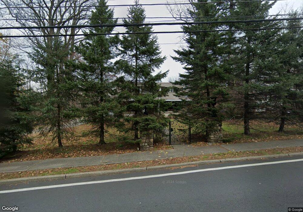
175 E Washington Ave Pearl River, NY 10965
Estimated Value: $856,000 - $993,000
5
Beds
2
Baths
2,193
Sq Ft
$412/Sq Ft
Est. Value
About This Home
This home is located at 175 E Washington Ave, Pearl River, NY 10965 and is currently estimated at $904,137, approximately $412 per square foot. 175 E Washington Ave is a home located in Rockland County with nearby schools including Pearl River High School and St Margaret School.
Ownership History
Date
Name
Owned For
Owner Type
Purchase Details
Closed on
Jan 27, 2022
Sold by
Chesman Christopher
Bought by
Chesman Christopher and Chesman Yessica
Current Estimated Value
Purchase Details
Closed on
Aug 7, 1997
Sold by
Matner Richard R and Bohr Bertha M
Bought by
Chesman Christopher K
Home Financials for this Owner
Home Financials are based on the most recent Mortgage that was taken out on this home.
Original Mortgage
$214,000
Outstanding Balance
$31,963
Interest Rate
7.5%
Mortgage Type
Construction
Estimated Equity
$872,174
Create a Home Valuation Report for This Property
The Home Valuation Report is an in-depth analysis detailing your home's value as well as a comparison with similar homes in the area
Home Values in the Area
Average Home Value in this Area
Purchase History
| Date | Buyer | Sale Price | Title Company |
|---|---|---|---|
| Chesman Christopher | -- | Judicial Title | |
| Chesman Christopher K | $252,000 | Title Guarantee New York |
Source: Public Records
Mortgage History
| Date | Status | Borrower | Loan Amount |
|---|---|---|---|
| Open | Chesman Christopher K | $214,000 |
Source: Public Records
Tax History
| Year | Tax Paid | Tax Assessment Tax Assessment Total Assessment is a certain percentage of the fair market value that is determined by local assessors to be the total taxable value of land and additions on the property. | Land | Improvement |
|---|---|---|---|---|
| 2024 | $19,025 | $237,200 | $77,400 | $159,800 |
| 2023 | $19,025 | $237,200 | $77,400 | $159,800 |
| 2022 | $6,177 | $237,200 | $77,400 | $159,800 |
| 2021 | $15,887 | $237,200 | $77,400 | $159,800 |
| 2020 | $15,595 | $237,200 | $77,400 | $159,800 |
| 2019 | $5,698 | $237,200 | $77,400 | $159,800 |
| 2018 | $14,782 | $237,200 | $77,400 | $159,800 |
| 2017 | $13,740 | $228,600 | $77,400 | $151,200 |
| 2016 | $13,329 | $228,600 | $77,400 | $151,200 |
| 2015 | -- | $228,600 | $77,400 | $151,200 |
| 2014 | -- | $228,600 | $77,400 | $151,200 |
Source: Public Records
Map
Nearby Homes
- 124 Braunsdorf Rd
- 86 Braunsdorf Rd
- 258 Holt Dr
- 34 Mountainview Ave
- 210 Rockland Rd
- 352 Holt Dr
- 97 E Park Ave
- 140 Meyer Oval Unit 140
- 854 E Crooked Hill Rd Unit 854
- 6 Lombardi Rd
- 166 E Crooked Hill Rd Unit 166
- 131 W Washington Ave
- 6 Fairmont Ave
- 146 N Lincoln St
- 56 Lincoln Ave
- 180 W Washington Ave
- 7 Staubitz Ave
- 163 W Park Ave
- 4205 Fred Ill Jr Ct Unit 105
- 452 Somerset Dr Unit F
- 163 E Washington Ave
- 17 N Henry St
- 83 N Middletown Rd
- 174 E Washington Ave
- 85 N Middletown Rd
- 87 N Middletown Rd
- 157 E Washington Ave
- 168 E Washington Ave
- 156 Braunsdorf Rd
- 15 N Henry St
- 164 E Washington Ave
- 150 Braunsdorf Rd
- 152 E Washington Ave
- 151 E Washington Ave
- 75 N Middletown Rd
- 75 N Middletown Rd Unit h
- 148 E Washington Ave
- 311 Ehrhardt (Strawberry Place) Rd
- 26 Merritt Lot #5a Rd
- 26 Merritt Lot # 3b Rd
Your Personal Tour Guide
Ask me questions while you tour the home.