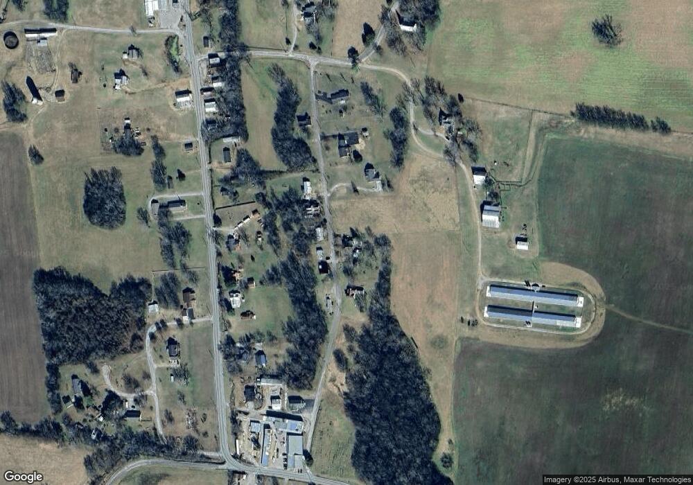
175 High St Pulaski, TN 38478
Estimated Value: $160,088 - $300,000
Studio
1
Bath
1,239
Sq Ft
$173/Sq Ft
Est. Value
About This Home
This home is located at 175 High St, Pulaski, TN 38478 and is currently estimated at $214,772, approximately $173 per square foot. 175 High St is a home located in Giles County with nearby schools including Richland Elementary School and Richland School.
Ownership History
Date
Name
Owned For
Owner Type
Purchase Details
Closed on
May 5, 2006
Sold by
Watkins Sarah Beth
Bought by
Johnson Wylodean
Current Estimated Value
Home Financials for this Owner
Home Financials are based on the most recent Mortgage that was taken out on this home.
Original Mortgage
$50,000
Outstanding Balance
$2,533
Interest Rate
6.39%
Estimated Equity
$212,239
Purchase Details
Closed on
Jun 22, 2004
Sold by
Watkins Wanda T
Bought by
Watkins Sarah Beth
Home Financials for this Owner
Home Financials are based on the most recent Mortgage that was taken out on this home.
Original Mortgage
$45,000
Interest Rate
6.25%
Purchase Details
Closed on
Nov 6, 2000
Sold by
Collins Robert M and Collins Opal
Bought by
Watkins Wanda T
Purchase Details
Closed on
Jan 1, 1955
Bought by
Collins Robert M and Collins Opal
Create a Home Valuation Report for This Property
The Home Valuation Report is an in-depth analysis detailing your home's value as well as a comparison with similar homes in the area
Purchase History
| Date | Buyer | Sale Price | Title Company |
|---|---|---|---|
| Johnson Wylodean | $36,000 | -- | |
| Watkins Sarah Beth | $35,000 | -- | |
| Watkins Wanda T | $32,500 | -- | |
| Collins Robert M | -- | -- |
Source: Public Records
Mortgage History
| Date | Status | Borrower | Loan Amount |
|---|---|---|---|
| Open | Collins Robert M | $50,000 | |
| Previous Owner | Collins Robert M | $45,000 |
Source: Public Records
Tax History
| Year | Tax Paid | Tax Assessment Tax Assessment Total Assessment is a certain percentage of the fair market value that is determined by local assessors to be the total taxable value of land and additions on the property. | Land | Improvement |
|---|---|---|---|---|
| 2025 | $550 | $23,875 | $0 | $0 |
| 2024 | $550 | $23,875 | $3,475 | $20,400 |
| 2023 | $474 | $23,875 | $3,475 | $20,400 |
| 2022 | $474 | $23,875 | $3,475 | $20,400 |
| 2021 | $496 | $17,550 | $2,800 | $14,750 |
| 2020 | $496 | $17,550 | $2,800 | $14,750 |
| 2019 | $352 | $12,450 | $2,800 | $9,650 |
| 2018 | $352 | $12,450 | $2,800 | $9,650 |
| 2017 | $352 | $12,450 | $2,800 | $9,650 |
| 2016 | $400 | $13,475 | $2,600 | $10,875 |
| 2015 | $373 | $13,475 | $2,600 | $10,875 |
| 2014 | $374 | $13,486 | $0 | $0 |
Source: Public Records
Map
Nearby Homes
- 9720 Campbellsville Rd
- 9714 Campbellsville Rd
- 9718 Campbellsville Rd
- 9724 Campbellsville Rd
- 9728 Campbellsville Rd
- 9734 Campbellsville Rd
- 9706 Campbellsville Rd
- 9730 Campbellsville Rd
- 200 Allison Dr
- 5712 Little Dry Creek Rd
- 2346 Rhea Branch Rd
- 2338 Rhea Branch Rd
- 2270 Shuler Branch Rd
- 13581 Campbellsville Rd Lot 2
- 1277 Campbellsville Pike
- 2270 Schuler Branch Rd
- 4957 Little Dry Creek Rd
- 4915 Little Dry Creek Rd
- 1075 Rose Hill Rd Tract 2
- 1820 Petty Hollow Rd N
- 170 High St
- 200 High St
- 155 Rosson Rd
- 220 High St
- 231 High St
- 165 High St
- 10570 Campbellsville Rd
- 10540 Campbellsville Rd
- 10610 Campbellsville Rd
- 10518 Campbellsville Rd
- 250 High St
- 10640 Campbellsville Rd
- 275 High St
- 275 High St
- 275 High St
- 10476 Campbellsville Rd
- 250 Locke Rd
- 10601 Campbellsville Rd
- 10525 Campbellsville Rd
- 10430 Campbellsville Rd
