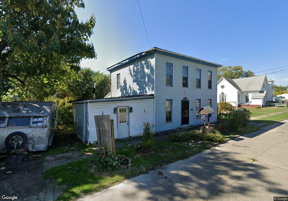
175 High St Smithfield, OH 43948
Estimated Value: $70,000 - $128,000
3
Beds
2
Baths
1,528
Sq Ft
$57/Sq Ft
Est. Value
About This Home
This home is located at 175 High St, Smithfield, OH 43948 and is currently estimated at $86,714, approximately $56 per square foot. 175 High St is a home with nearby schools including Buckeye Local High School.
Create a Home Valuation Report for This Property
The Home Valuation Report is an in-depth analysis detailing your home's value as well as a comparison with similar homes in the area
Tax History
| Year | Tax Paid | Tax Assessment Tax Assessment Total Assessment is a certain percentage of the fair market value that is determined by local assessors to be the total taxable value of land and additions on the property. | Land | Improvement |
|---|---|---|---|---|
| 2024 | $1,107 | $19,877 | $1,236 | $18,641 |
| 2023 | $865 | $15,260 | $1,099 | $14,161 |
| 2022 | $236 | $15,260 | $1,099 | $14,161 |
| 2021 | $235 | $15,260 | $1,099 | $14,161 |
| 2020 | $151 | $12,583 | $830 | $11,753 |
| 2019 | $154 | $0 | $0 | $0 |
| 2018 | $163 | $0 | $0 | $0 |
| 2017 | $8 | $0 | $0 | $0 |
| 2016 | $13 | $0 | $0 | $0 |
| 2015 | $4 | $0 | $0 | $0 |
| 2014 | $23 | $0 | $0 | $0 |
| 2012 | $203 | $9,275 | $805 | $8,470 |
Source: Public Records
Map
Nearby Homes
- 77 North St
- 2709 C R 11
- 7875 State Route 151
- 0 County Road 11 Unit 25045538
- 0 County Rd 11 Unit 25043998
- 0 County Rd 11 Unit 25044885
- 0 County Rd 11 Unit 25043272
- 3275 County Road 15
- 1667 County Rd 11
- 4000 State Route 152
- 4593 County Road 15
- 1357 4th St
- 608 Township Road 15
- 138 E Steubenville St
- 103 Horeshoe Aly
- 33 Hill St
- 0 E Riverview Dr Unit 5157431
- 236 Ace Dr
- 449 Belvedere Dr
- 269 Union St
Your Personal Tour Guide
Ask me questions while you tour the home.