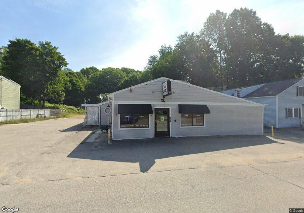
175 Main St Epping, NH 03042
6
Beds
3
Baths
3,633
Sq Ft
7,405
Sq Ft Lot
About This Home
This home is located at 175 Main St, Epping, NH 03042. 175 Main St is a home located in Rockingham County with nearby schools including Epping Elementary School, Epping Middle School, and Epping High School.
Ownership History
Date
Name
Owned For
Owner Type
Purchase Details
Closed on
May 16, 2014
Sold by
Bayview Loan Svcng Llc
Bought by
Meav Rt
Purchase Details
Closed on
Oct 9, 2012
Sold by
Poulopoulos Arthur K
Bought by
Bayview Loan Svcng Llc
Purchase Details
Closed on
Jul 28, 2006
Sold by
Gioldasis Dimitrios and Gioldasis John
Bought by
Poulopoulas Arthur K
Home Financials for this Owner
Home Financials are based on the most recent Mortgage that was taken out on this home.
Original Mortgage
$320,000
Interest Rate
6.67%
Mortgage Type
Commercial
Purchase Details
Closed on
Oct 23, 2000
Sold by
Bank Of Nh
Bought by
Gioldasis Dimitrios and Gioldasis John
Purchase Details
Closed on
Feb 2, 1999
Sold by
Ernest R Menard
Bought by
Bank Of New Hampshire
Create a Home Valuation Report for This Property
The Home Valuation Report is an in-depth analysis detailing your home's value as well as a comparison with similar homes in the area
Home Values in the Area
Average Home Value in this Area
Purchase History
| Date | Buyer | Sale Price | Title Company |
|---|---|---|---|
| Meav Rt | $116,000 | -- | |
| Bayview Loan Svcng Llc | $264,700 | -- | |
| Poulopoulas Arthur K | $400,000 | -- | |
| Gioldasis Dimitrios | $35,000 | -- | |
| Bank Of New Hampshire | $72,000 | -- |
Source: Public Records
Mortgage History
| Date | Status | Borrower | Loan Amount |
|---|---|---|---|
| Previous Owner | Bank Of New Hampshire | $320,000 |
Source: Public Records
Tax History
| Year | Tax Paid | Tax Assessment Tax Assessment Total Assessment is a certain percentage of the fair market value that is determined by local assessors to be the total taxable value of land and additions on the property. | Land | Improvement |
|---|---|---|---|---|
| 2024 | $6,368 | $252,400 | $67,500 | $184,900 |
| 2023 | $5,906 | $252,400 | $67,500 | $184,900 |
| 2022 | $5,676 | $252,400 | $67,500 | $184,900 |
| 2021 | $504 | $192,500 | $67,500 | $125,000 |
| 2020 | $4,551 | $192,500 | $67,500 | $125,000 |
| 2019 | $4,368 | $157,700 | $58,700 | $99,000 |
| 2018 | $4,091 | $157,700 | $58,700 | $99,000 |
| 2017 | $4,091 | $157,700 | $58,700 | $99,000 |
| 2016 | $4,091 | $157,700 | $58,700 | $99,000 |
| 2015 | $4,091 | $157,700 | $58,700 | $99,000 |
| 2014 | $4,149 | $169,900 | $58,700 | $111,200 |
| 2013 | $9,623 | $396,500 | $61,800 | $334,700 |
Source: Public Records
Map
Nearby Homes
- 2 Prescott Rd
- 13 Elm St
- 290 Calef Hwy Unit B21
- 27 Mulberry Ln
- 16B Lunas Ave Unit 16B
- 5A Connor Ct Unit 5A
- 23 Old Stage Coach Rd Unit 8
- 1B Connor Ct Unit 1B
- 1A Connor Ct Unit 1A
- 65 Sunset Ridge Rd Unit 65A
- 65 Sunset Ridge Rd Unit 65B
- 63 Sunset Ridge Rd Unit 63A
- 63 Sunset Ridge Rd Unit 63B
- 3A Connor Ct Unit 3A
- 55 Sunset Ridge Rd Unit 55A
- 55 Sunset Ridge Rd Unit 55B
- 54 Sunset Ridge Rd Unit 54B
- 3B Connor Ct Unit 3B
- 5 Hedding Rd
- 46 Dorothy Dr
- 175 Main St Unit 175B
- 171 Main St
- 177 Main St
- 169 Main St
- 172 Main St Unit A
- 172B Main St Unit 172B
- 172A Main St Unit 172A
- 172A Main St Unit A
- 172B Main St Unit B
- 172 Main St Unit B
- 176A Main St Unit 176A
- 176 Main St Unit B
- 170 Main St
- 8 Bartlett St
- 3 High St
- 180B Main St Unit 180B
- 168 Main St
- 180A Main St Unit 180A
- 180A Main St Unit A
- 180 Main St Unit B
Your Personal Tour Guide
Ask me questions while you tour the home.