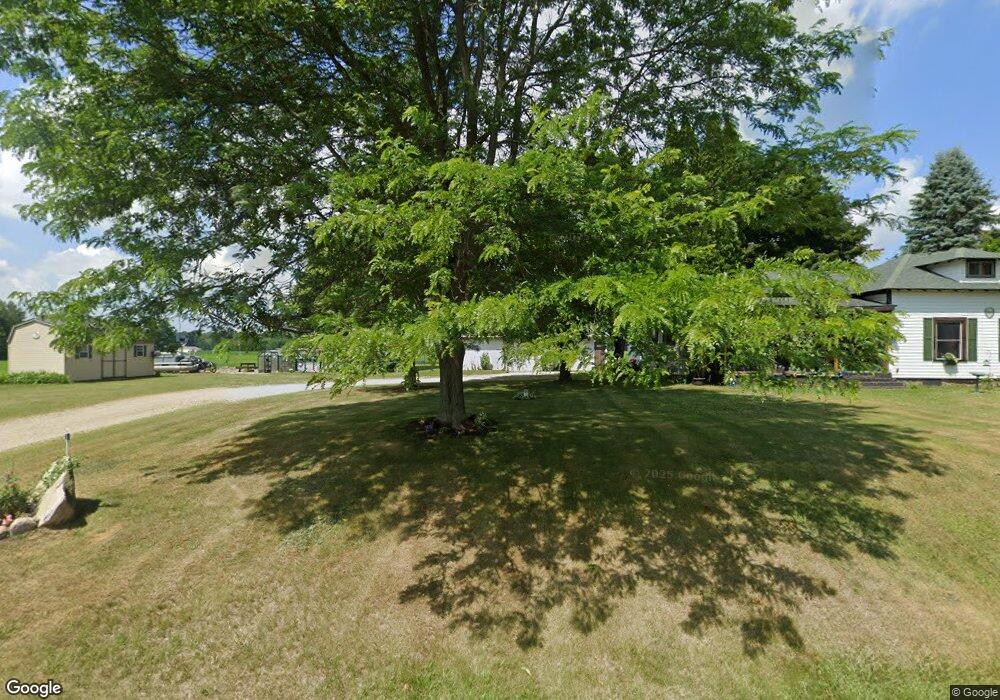
175 N Hillman Rd Stanton, MI 48888
Estimated Value: $204,495 - $286,000
2
Beds
2
Baths
1,512
Sq Ft
$153/Sq Ft
Est. Value
About This Home
This home is located at 175 N Hillman Rd, Stanton, MI 48888 and is currently estimated at $230,624, approximately $152 per square foot. 175 N Hillman Rd is a home located in Montcalm County with nearby schools including Central Montcalm Elementary School, Central Montcalm Upper Elementary School, and Central Montcalm Middle School.
Ownership History
Date
Name
Owned For
Owner Type
Purchase Details
Closed on
May 18, 2022
Sold by
Tondra Shong
Bought by
Shong Tondra and Dessoye Frank J
Current Estimated Value
Home Financials for this Owner
Home Financials are based on the most recent Mortgage that was taken out on this home.
Original Mortgage
$97,000
Outstanding Balance
$92,254
Interest Rate
5.38%
Mortgage Type
New Conventional
Estimated Equity
$138,370
Purchase Details
Closed on
Jan 14, 2013
Sold by
Engel Larry E and Engle Laura J
Bought by
Shong Tondra
Purchase Details
Closed on
Sep 29, 2011
Sold by
Coon Michael and Coon Sharon K
Bought by
Shong Tondra
Home Financials for this Owner
Home Financials are based on the most recent Mortgage that was taken out on this home.
Original Mortgage
$80,103
Interest Rate
4.22%
Mortgage Type
Purchase Money Mortgage
Create a Home Valuation Report for This Property
The Home Valuation Report is an in-depth analysis detailing your home's value as well as a comparison with similar homes in the area
Purchase History
| Date | Buyer | Sale Price | Title Company |
|---|---|---|---|
| Shong Tondra | -- | Postic Lionel J | |
| Shong Tondra | $500 | None Available | |
| Shong Tondra | $77,300 | -- |
Source: Public Records
Mortgage History
| Date | Status | Borrower | Loan Amount |
|---|---|---|---|
| Open | Shong Tondra | $97,000 | |
| Previous Owner | Shong Tondra | $80,103 |
Source: Public Records
Tax History
| Year | Tax Paid | Tax Assessment Tax Assessment Total Assessment is a certain percentage of the fair market value that is determined by local assessors to be the total taxable value of land and additions on the property. | Land | Improvement |
|---|---|---|---|---|
| 2025 | $1,051 | $74,500 | $0 | $0 |
| 2024 | $1,167 | $70,500 | $0 | $0 |
| 2023 | -- | $58,000 | $0 | $0 |
Source: Public Records
Map
Nearby Homes
- 4701 W Channel Dr
- 259 Ivason Dr
- Lot 33 W Shore Dr
- 771 W Shore Dr Unit 14
- 1034 Thompson St SW
- 4095 E Shore Dr
- 5616 Tanglewood Trail
- VL S Grow Rd
- 1401 White Birch Dr
- 2160 Fitzner Rd
- 7961 W Sidney Rd
- 8411 Spring Rd
- 1921 S Greenville Rd
- 9073 W Colby Rd
- 525 W Day St
- 2529 S Greenville Rd
- 30 W Stanton Rd
- 0 Stakes Rd
- 8565 W Cannonsville Rd
- 339 S Vine St
- 50 N Hillman Rd
- 4741 Channel Dr NW
- 4741 W Channel Dr
- 4721 W Channel Dr
- 4711 W Channel Dr
- 21 Dickerson View
- 4701 Channel Dr NW
- 31 Dickerson View
- 116 Lakeview Dr
- 0 Dickerson View Unit G732244
- 106 Lakeview Dr
- 106 Lakeview Dr
- 71 Dickerson View
- 96 Lakeview Dr
- 96 Lakeview Dr
- 86 Lakeview Dr
- 76 Lakeview Dr
- 5395 W Dickerson Lake Rd
- 91 Dickerson View
- 66 Lakeview Dr
Your Personal Tour Guide
Ask me questions while you tour the home.