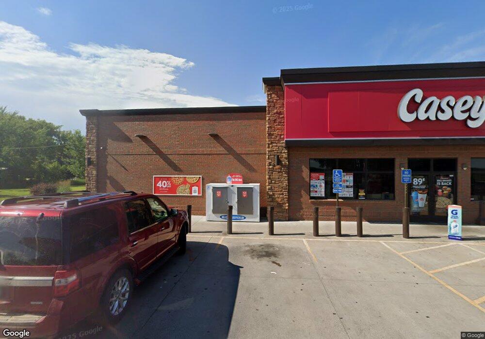
175 Nelson Blvd Montrose, MN 55363
Estimated Value: $817,962
--
Bed
--
Bath
4,674
Sq Ft
$175/Sq Ft
Est. Value
About This Home
This home is located at 175 Nelson Blvd, Montrose, MN 55363 and is currently priced at $817,962, approximately $175 per square foot. 175 Nelson Blvd is a home located in Wright County with nearby schools including Montrose Elementary School, Buffalo Community Middle School, and Buffalo Senior High School.
Ownership History
Date
Name
Owned For
Owner Type
Purchase Details
Closed on
Mar 7, 2017
Sold by
Victona Convemence Store Inc
Bought by
Caseys Retail Co
Current Estimated Value
Purchase Details
Closed on
May 3, 1999
Sold by
Schauer Lois A and Schauer Dennis V
Bought by
Desmarais Douglas and Desmarais Daniel
Create a Home Valuation Report for This Property
The Home Valuation Report is an in-depth analysis detailing your home's value as well as a comparison with similar homes in the area
Home Values in the Area
Average Home Value in this Area
Purchase History
| Date | Buyer | Sale Price | Title Company |
|---|---|---|---|
| Caseys Retail Co | $500,000 | Edgewater Title | |
| Desmarais Douglas | $65,000 | -- |
Source: Public Records
Mortgage History
| Date | Status | Borrower | Loan Amount |
|---|---|---|---|
| Closed | Desmarais Douglas | -- |
Source: Public Records
Tax History Compared to Growth
Tax History
| Year | Tax Paid | Tax Assessment Tax Assessment Total Assessment is a certain percentage of the fair market value that is determined by local assessors to be the total taxable value of land and additions on the property. | Land | Improvement |
|---|---|---|---|---|
| 2025 | $37,780 | $1,328,300 | $380,300 | $948,000 |
| 2024 | $34,048 | $1,306,200 | $358,200 | $948,000 |
| 2023 | $30,384 | $1,306,200 | $358,200 | $948,000 |
| 2022 | $33,888 | $1,073,300 | $290,300 | $783,000 |
| 2021 | $34,240 | $1,053,300 | $270,300 | $783,000 |
| 2020 | $35,304 | $1,053,300 | $270,300 | $783,000 |
| 2019 | $35,222 | $1,053,300 | $0 | $0 |
| 2018 | $12,844 | $1,026,000 | $0 | $0 |
| 2017 | $15,712 | $407,400 | $0 | $0 |
| 2016 | $16,164 | $0 | $0 | $0 |
| 2015 | $16,680 | $0 | $0 | $0 |
| 2014 | -- | $0 | $0 | $0 |
Source: Public Records
Map
Nearby Homes
- 301 Center Ave S
- 150 Pheasant Ridge Dr
- 137 Pheasant Ridge Dr
- 161 Mindy Ln Unit 9
- 149 Mindy Ln
- 517 2nd St S
- 426 Dillon Ave N
- 305 Garfield Ave S
- 610 Emerson Ave N
- 1766 US Highway 12 SW
- 140 Garner Cir
- 151 Garner Cir
- 703 7th St N
- 726 7th St N
- 684 Aspen Ln
- 683 Aspen Ln
- 685 Aspen Ln
- 687 Aspen Ln
- 690 Aspen Ln
- 689 Aspen Ln
- 195 Nelson Blvd
- 110 Nelson Blvd
- 150 3rd St S
- 130 Nelson Blvd
- 350 Buffalo Ave S
- 140 Nelson Blvd
- 150 Nelson Blvd
- 170 Nelson Blvd
- 155 3rd St S
- 420 Buffalo Ave S
- 331 Buffalo Ave S
- 333 Buffalo Ave S
- 430 Buffalo Ave S
- 270 Buffalo Ave S
- 333 333 Buffalo-Avenue-s
- 125 Nelson Blvd
- 210 U S 12
- 411 Buffalo Ave S
- 440 Buffalo Ave S
- 260 Buffalo Ave S