Estimated Value: $282,000 - $324,000
Studio
2
Baths
2,120
Sq Ft
$142/Sq Ft
Est. Value
About This Home
This home is located at 175 Phillips Rd Unit CM, Jesup, GA 31545 and is currently estimated at $300,033, approximately $141 per square foot. 175 Phillips Rd Unit CM is a home located in Wayne County with nearby schools including Odum Elementary School, Martha Puckett Middle School, and Wayne County High School.
Ownership History
Date
Name
Owned For
Owner Type
Purchase Details
Closed on
Jan 31, 2011
Sold by
Us Bank National Association
Bought by
Locke Jeremy R
Current Estimated Value
Home Financials for this Owner
Home Financials are based on the most recent Mortgage that was taken out on this home.
Original Mortgage
$139,428
Outstanding Balance
$94,217
Interest Rate
4.75%
Mortgage Type
FHA
Estimated Equity
$205,816
Purchase Details
Closed on
Nov 2, 2010
Sold by
Parker Myrtice A
Bought by
Us Bank National Association
Purchase Details
Closed on
May 1, 2004
Bought by
Parker Myrtice A
Create a Home Valuation Report for This Property
The Home Valuation Report is an in-depth analysis detailing your home's value as well as a comparison with similar homes in the area
Purchase History
| Date | Buyer | Sale Price | Title Company |
|---|---|---|---|
| Locke Jeremy R | $142,000 | -- | |
| Us Bank National Association | $102,000 | -- | |
| Parker Myrtice A | $20,000 | -- |
Source: Public Records
Mortgage History
| Date | Status | Borrower | Loan Amount |
|---|---|---|---|
| Open | Locke Jeremy R | $139,428 |
Source: Public Records
Tax History
| Year | Tax Paid | Tax Assessment Tax Assessment Total Assessment is a certain percentage of the fair market value that is determined by local assessors to be the total taxable value of land and additions on the property. | Land | Improvement |
|---|---|---|---|---|
| 2025 | $2,918 | $98,597 | $4,501 | $94,096 |
| 2024 | $2,786 | $95,440 | $4,501 | $90,939 |
| 2023 | $2,977 | $84,168 | $4,501 | $79,667 |
| 2022 | $1,996 | $68,387 | $4,501 | $63,886 |
| 2021 | $1,815 | $58,831 | $4,501 | $54,330 |
| 2020 | $1,878 | $58,831 | $4,501 | $54,330 |
| 2019 | $1,934 | $58,831 | $4,501 | $54,330 |
| 2018 | $1,934 | $58,831 | $4,501 | $54,330 |
| 2017 | $1,665 | $58,831 | $4,501 | $54,330 |
| 2016 | $1,611 | $58,831 | $4,501 | $54,330 |
| 2014 | $1,615 | $58,831 | $4,501 | $54,330 |
| 2013 | -- | $66,611 | $6,392 | $60,219 |
Source: Public Records
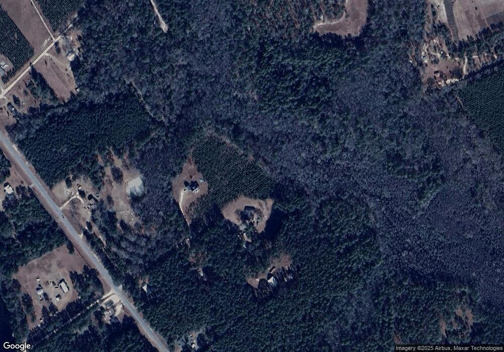
Map
Nearby Homes
- 2936 Madray Springs Rd
- 17614 Lanes Bridge Rd
- 128 Three C Rd
- 272 Three C Rd
- 300 Three C Rd
- 285 Willow Rd
- 11038 Lanes Bridge Rd
- 192 Hummingbird Ln
- 531 Gene Bland Rd
- 840 Gene Bland Rd
- 764 Gene Bland Rd
- 92 Sparrow Ln
- Tract 1-C Oglethorpe Rd
- Tract 3 Oglethorpe Rd
- 0 Nature Unit 10662714
- 0 Nature Unit SA345804
- 0 Nature Unit 164138
- 569 Liberty Rd
- 438 Boardwalk Ave
- 192 Northshore Ave
- 175 Phillips Rd
- 139 Phillips Rd
- 112 Phillips Rd
- 106 Phillips Rd
- 8940 Lanes Bridge Rd
- 8860 Lanes Bridge Rd
- 9044 Lanes Bridge Rd
- 8935 Lanes Bridge Rd
- 64 Seaboard Rd
- 919 Brannen Rd
- 130 Eva Madray Rd
- 9145 Lanes Bridge Rd
- 30 Eva Madray Rd
- 145 Seaboard Rd
- 8741 Lanes Bridge Rd
- 107 Seaboard Rd
- 125 Eva Madray Rd
- 289 Eva Madray Rd
- 370 Brannen Rd
- 17 Carroll Rd
Your Personal Tour Guide
Ask me questions while you tour the home.