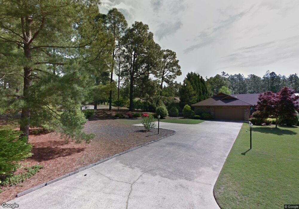
175 Safford Dr Pinehurst, NC 28374
Estimated Value: $402,541 - $473,000
3
Beds
2
Baths
1,865
Sq Ft
$229/Sq Ft
Est. Value
About This Home
This home is located at 175 Safford Dr, Pinehurst, NC 28374 and is currently estimated at $427,635, approximately $229 per square foot. 175 Safford Dr is a home located in Moore County with nearby schools including McDeeds Creek Elementary School, Crain's Creek Middle School, and Pinecrest High School.
Ownership History
Date
Name
Owned For
Owner Type
Purchase Details
Closed on
Mar 30, 2015
Sold by
Trowe Dale L
Bought by
Branscome Linda and Branscome Michael
Current Estimated Value
Home Financials for this Owner
Home Financials are based on the most recent Mortgage that was taken out on this home.
Original Mortgage
$182,400
Outstanding Balance
$138,486
Interest Rate
3.84%
Mortgage Type
New Conventional
Estimated Equity
$289,149
Purchase Details
Closed on
Oct 11, 2011
Sold by
Pierce Miriam D
Bought by
Trowe Dale L
Home Financials for this Owner
Home Financials are based on the most recent Mortgage that was taken out on this home.
Original Mortgage
$136,000
Interest Rate
2.75%
Mortgage Type
Adjustable Rate Mortgage/ARM
Create a Home Valuation Report for This Property
The Home Valuation Report is an in-depth analysis detailing your home's value as well as a comparison with similar homes in the area
Home Values in the Area
Average Home Value in this Area
Purchase History
| Date | Buyer | Sale Price | Title Company |
|---|---|---|---|
| Branscome Linda | $192,000 | None Available | |
| Trowe Dale L | $170,000 | None Available |
Source: Public Records
Mortgage History
| Date | Status | Borrower | Loan Amount |
|---|---|---|---|
| Open | Branscome Linda | $182,400 | |
| Previous Owner | Trowe Dale L | $136,000 |
Source: Public Records
Tax History
| Year | Tax Paid | Tax Assessment Tax Assessment Total Assessment is a certain percentage of the fair market value that is determined by local assessors to be the total taxable value of land and additions on the property. | Land | Improvement |
|---|---|---|---|---|
| 2025 | $1,915 | $343,480 | $40,000 | $303,480 |
| 2024 | $1,966 | $343,480 | $40,000 | $303,480 |
| 2023 | $2,052 | $343,480 | $40,000 | $303,480 |
| 2022 | $1,727 | $206,840 | $30,000 | $176,840 |
| 2021 | $1,789 | $206,840 | $30,000 | $176,840 |
| 2020 | $1,771 | $206,840 | $30,000 | $176,840 |
| 2019 | $1,771 | $206,840 | $30,000 | $176,840 |
| 2018 | $1,443 | $180,350 | $25,000 | $155,350 |
| 2017 | $1,425 | $180,350 | $25,000 | $155,350 |
| 2015 | $1,398 | $180,350 | $25,000 | $155,350 |
| 2014 | $1,376 | $179,930 | $25,000 | $154,930 |
| 2013 | -- | $179,930 | $25,000 | $154,930 |
Source: Public Records
Map
Nearby Homes
- 260 Fairway Dr
- 521 Pommel Ln
- 125 Williams Rd
- 218 Starland Ln
- 605 Jumper Ct
- 500 Pommel Ln
- 26 N Knoll Rd
- 227 N Knoll Rd
- 2148 Midland Rd
- 213 N Knoll Rd Unit 215
- 175 N Knoll Rd
- 332 Magnolia Cir
- 35 Glen Meadow Ct
- 135 Steeplechase Way
- 22 Glen Devon Dr
- 535 Vintage Ln
- 16 McNish Rd
- 150 Glen Abbey Trail
- 103 Chesterfield Dr
- 104 Chesterfield Dr
- 175 Safford Ct
- 185 Safford Dr
- 165 Safford Dr
- 185 Safford Ct
- 195 Safford Dr
- 165 Safford Ct
- 205 Safford Dr
- 155 Safford Dr
- 145 Safford Dr
- 130 Safford Dr
- 120 Safford Dr
- 140 Safford Dr
- 135 Safford Dr
- 110 Safford Dr
- 150 Safford Dr Unit 34A
- 275 Dr Neal Rd
- 160 Safford Dr
- 100 Safford Dr
- 125 Safford Dr
- 170 Safford Dr
Your Personal Tour Guide
Ask me questions while you tour the home.