Estimated Value: $514,000 - $585,000
2
Beds
3
Baths
1,620
Sq Ft
$337/Sq Ft
Est. Value
About This Home
This home is located at 175 Timothy Cir Unit B, Wayne, PA 19087 and is currently estimated at $546,355, approximately $337 per square foot. 175 Timothy Cir Unit B is a home located in Montgomery County with nearby schools including Roberts Elementary School, Upper Merion Middle School, and Upper Merion High School.
Ownership History
Date
Name
Owned For
Owner Type
Purchase Details
Closed on
May 28, 2013
Sold by
Durkosh Mary Ellen
Bought by
Underwood Stephanie J
Current Estimated Value
Home Financials for this Owner
Home Financials are based on the most recent Mortgage that was taken out on this home.
Original Mortgage
$272,000
Outstanding Balance
$192,621
Interest Rate
3.39%
Mortgage Type
New Conventional
Estimated Equity
$353,734
Purchase Details
Closed on
Mar 27, 1995
Sold by
K Hovnanian At Upper Merion Inc
Bought by
Durkosh Mary Ellen
Create a Home Valuation Report for This Property
The Home Valuation Report is an in-depth analysis detailing your home's value as well as a comparison with similar homes in the area
Purchase History
| Date | Buyer | Sale Price | Title Company |
|---|---|---|---|
| Underwood Stephanie J | $340,000 | None Available | |
| Durkosh Mary Ellen | $197,886 | -- |
Source: Public Records
Mortgage History
| Date | Status | Borrower | Loan Amount |
|---|---|---|---|
| Open | Underwood Stephanie J | $272,000 |
Source: Public Records
Tax History
| Year | Tax Paid | Tax Assessment Tax Assessment Total Assessment is a certain percentage of the fair market value that is determined by local assessors to be the total taxable value of land and additions on the property. | Land | Improvement |
|---|---|---|---|---|
| 2025 | $6,104 | $198,070 | $47,830 | $150,240 |
| 2024 | $6,104 | $198,070 | $47,830 | $150,240 |
| 2023 | $5,888 | $198,070 | $47,830 | $150,240 |
| 2022 | $5,636 | $198,070 | $47,830 | $150,240 |
| 2021 | $5,461 | $198,070 | $47,830 | $150,240 |
| 2020 | $5,219 | $198,070 | $47,830 | $150,240 |
| 2019 | $5,130 | $198,070 | $47,830 | $150,240 |
Source: Public Records
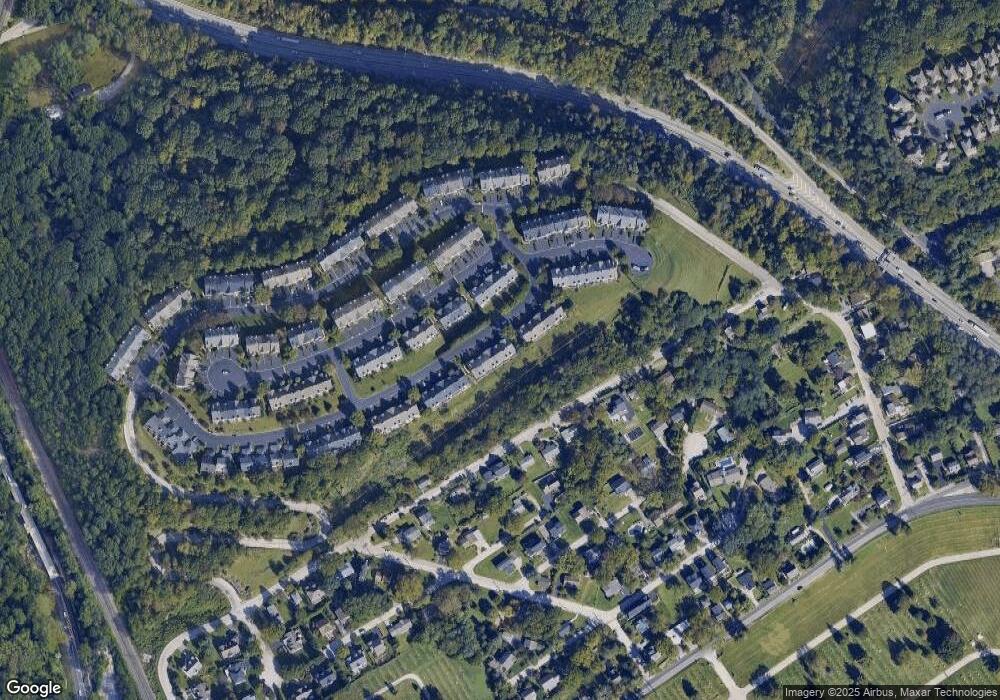
Map
Nearby Homes
- 149 Timothy Cir Unit 29C
- 234 Lookout Place Unit C
- 281 E Matsonford Rd
- 220 Balligomingo Rd
- 336 Overlook Ln
- 117 Arden Rd
- 2 Arden Rd
- 4 Arden Rd
- 1120 Grandview Terrace
- Lot 1 Arden Rd
- Lot 3 Arden Rd
- 0 Matsonford Rd
- 188 Arden Rd
- 1241 Denbigh Ln
- 161 Lantern Ln
- 123 Gypsy Ln
- 230 Arden Rd
- 285 Swedeland Rd
- 1244 Denbigh Ln
- 173 Gypsy Ln
- 173 Timothy Cir
- 177 Timothy Cir
- 169 Timothy Cir
- 179 Timothy Cir Unit 26F
- 167 Timothy Cir
- 181 Timothy Cir Unit 26E
- 183 Timothy Cir Unit 26D
- 165 Timothy Cir
- 213 Valley Forge Lookout Place
- 213 Lookout Place Unit 23A
- 211 Lookout Place
- 185 Timothy Cir
- 209 Valley Forge Lookout Place
- 209 Lookout Place
- 217 Valley Forge Lookout Place
- 215 Lookout Place
- 217 Lookout Place
- 207 Lookout Place Unit 24D
- 163 Timothy Cir Unit B
- 207 Lookout Place
Your Personal Tour Guide
Ask me questions while you tour the home.