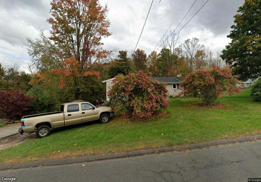
175 Wallens St Winsted, CT 06098
Estimated Value: $258,030 - $303,000
2
Beds
2
Baths
1,158
Sq Ft
$242/Sq Ft
Est. Value
About This Home
This home is located at 175 Wallens St, Winsted, CT 06098 and is currently estimated at $280,008, approximately $241 per square foot. 175 Wallens St is a home located in Litchfield County with nearby schools including Pearson School, Explorations Charter School, and St Anthony School.
Ownership History
Date
Name
Owned For
Owner Type
Purchase Details
Closed on
Oct 8, 1999
Sold by
Cull Kathleen P
Bought by
Bouchard Jason C and Bouchard Marie M
Current Estimated Value
Create a Home Valuation Report for This Property
The Home Valuation Report is an in-depth analysis detailing your home's value as well as a comparison with similar homes in the area
Home Values in the Area
Average Home Value in this Area
Purchase History
| Date | Buyer | Sale Price | Title Company |
|---|---|---|---|
| Bouchard Jason C | $99,000 | -- | |
| Bouchard Jason C | $99,000 | -- |
Source: Public Records
Mortgage History
| Date | Status | Borrower | Loan Amount |
|---|---|---|---|
| Closed | Bouchard Jason C | $20,552 | |
| Closed | Bouchard Jason C | $15,920 | |
| Open | Bouchard Jason C | $132,500 |
Source: Public Records
Tax History
| Year | Tax Paid | Tax Assessment Tax Assessment Total Assessment is a certain percentage of the fair market value that is determined by local assessors to be the total taxable value of land and additions on the property. | Land | Improvement |
|---|---|---|---|---|
| 2025 | $3,259 | $111,720 | $34,160 | $77,560 |
| 2024 | $3,043 | $111,720 | $34,160 | $77,560 |
| 2023 | $2,948 | $111,720 | $34,160 | $77,560 |
| 2022 | $3,008 | $89,670 | $24,780 | $64,890 |
| 2021 | $3,008 | $89,670 | $24,780 | $64,890 |
| 2020 | $3,008 | $89,670 | $24,780 | $64,890 |
| 2019 | $3,008 | $89,670 | $24,780 | $64,890 |
| 2018 | $3,008 | $89,670 | $24,780 | $64,890 |
| 2017 | $2,989 | $89,110 | $24,780 | $64,330 |
| 2016 | $2,989 | $89,110 | $24,780 | $64,330 |
| 2015 | $2,914 | $89,110 | $24,780 | $64,330 |
| 2014 | $2,844 | $89,110 | $24,780 | $64,330 |
Source: Public Records
Map
Nearby Homes
- 171 Wallens St
- 174 Wallens St Unit A5
- 35 Riveredge Dr Unit 35
- 95 Colony Dr
- 55 Walnut St
- 57 Main St
- 39 S Main St
- 94 Holabird Ave
- 35 Glendale Ave
- 9 Central Ave
- 174 Old North Rd
- 25 Center St
- 436 Main St
- 48 Bridge St
- 408 New Hartford Rd
- 44 Lewis St
- 720 Main St
- 00 Ramsgate Ln
- 106 Rockwell St
- 124 Rockwell St
- 199 Wallens St
- 202 Wallens St
- 181 Wallens St
- 188 Wallens St
- 203 Wallens St
- 204 Wallens St
- 172 Wallens St
- 167 Wallens St
- 165 Wallens St
- 168 Wallens St
- 206 Wallens St
- 173 Wallens St
- 205 Wallens St
- 4 Goodwin St
- 162 Wallens St
- 284 Florence St
- 157 Wallens St
- 278 Florence St
- 154 Wallens St Unit 1
- 275 Florence St
Your Personal Tour Guide
Ask me questions while you tour the home.