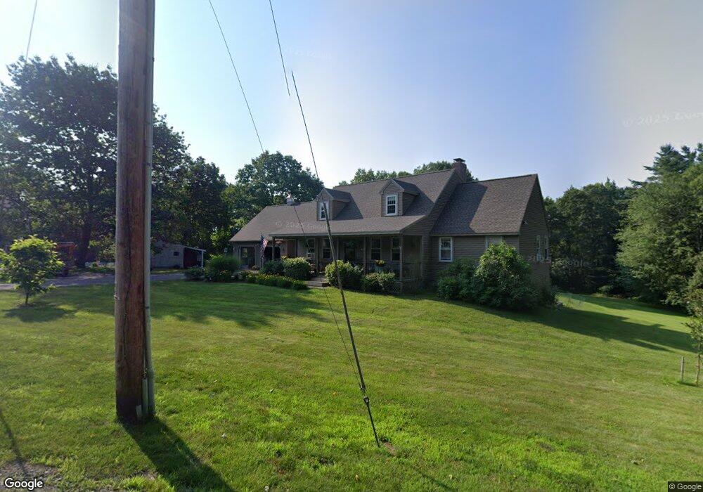
175 West Rd Unit 1 Bernardston, MA 01337
Estimated Value: $438,000 - $604,000
4
Beds
3
Baths
1,672
Sq Ft
$309/Sq Ft
Est. Value
About This Home
This home is located at 175 West Rd Unit 1, Bernardston, MA 01337 and is currently estimated at $516,288, approximately $308 per square foot. 175 West Rd Unit 1 is a home located in Franklin County with nearby schools including Pioneer Valley Regional and Full Circle School.
Ownership History
Date
Name
Owned For
Owner Type
Purchase Details
Closed on
Feb 2, 2021
Sold by
Caswell Errol W
Bought by
Hamilton Thomas B and Hamilton Joan L
Current Estimated Value
Purchase Details
Closed on
May 19, 2006
Sold by
Digeorge Donna M and Digeorge Scott M
Bought by
Caswell Errol W
Home Financials for this Owner
Home Financials are based on the most recent Mortgage that was taken out on this home.
Original Mortgage
$337,500
Interest Rate
6.42%
Mortgage Type
Purchase Money Mortgage
Create a Home Valuation Report for This Property
The Home Valuation Report is an in-depth analysis detailing your home's value as well as a comparison with similar homes in the area
Home Values in the Area
Average Home Value in this Area
Purchase History
| Date | Buyer | Sale Price | Title Company |
|---|---|---|---|
| Hamilton Thomas B | $370,000 | None Available | |
| Hamilton Thomas B | $370,000 | None Available | |
| Caswell Errol W | $375,000 | -- | |
| Caswell Errol W | $375,000 | -- |
Source: Public Records
Mortgage History
| Date | Status | Borrower | Loan Amount |
|---|---|---|---|
| Previous Owner | Caswell Errol W | $337,500 | |
| Previous Owner | Caswell Errol W | $70,000 | |
| Previous Owner | Caswell Errol W | $143,500 | |
| Previous Owner | Caswell Errol W | $135,000 |
Source: Public Records
Tax History Compared to Growth
Tax History
| Year | Tax Paid | Tax Assessment Tax Assessment Total Assessment is a certain percentage of the fair market value that is determined by local assessors to be the total taxable value of land and additions on the property. | Land | Improvement |
|---|---|---|---|---|
| 2025 | $7,239 | $507,300 | $57,200 | $450,100 |
| 2024 | $7,704 | $471,500 | $57,200 | $414,300 |
| 2023 | $8,201 | $512,900 | $50,600 | $462,300 |
| 2022 | $7,637 | $444,000 | $46,000 | $398,000 |
| 2021 | $6,984 | $376,100 | $39,200 | $336,900 |
| 2020 | $6,867 | $369,400 | $39,200 | $330,200 |
| 2019 | $6,685 | $340,400 | $39,200 | $301,200 |
| 2018 | $6,673 | $326,000 | $39,800 | $286,200 |
| 2017 | $6,448 | $326,000 | $39,800 | $286,200 |
| 2016 | $6,344 | $326,000 | $39,800 | $286,200 |
| 2015 | $6,187 | $333,000 | $46,800 | $286,200 |
Source: Public Records
Map
Nearby Homes
- 180 Bald Mountain Rd
- 56 Brattleboro Rd
- 1 Northfield Rd
- 23 Industrial Dr
- Lot 9 Fox Hill Rd (Off)
- 59 River St
- 704 Brattleboro Rd
- 75 South St Unit 3
- 775 Brattleboro Rd
- 544 Fox Hill Rd (Vacant Land)
- 47 Cross St
- 539 Fox Hill Rd
- 430 Huckle Hill Rd
- 430 Hucklehill Rd
- 801 Newton Rd
- 12 Parker Ave Unit 1
- 94 Main St
- 294 Capt Beers Plain Rd
- 719 Mount Hermon Station Rd
- 83 Eden Trail Branch
- 175 West Rd
- 179 West Rd
- 180 West Rd
- 167 West Rd
- 388 Huckle Hill Rd
- 0 W Rd L:2-3 Unit 71884375
- 176 West Rd
- 184 West Rd
- 184A West Rd
- 336 Huckle Hill Rd
- 0 Huckle Hill
- 0 Huckle Hill Rd
- 360 Huckle Hill Rd
- 367 Huckle Hill Rd
- 416 Huckle Hill Rd
- 401 Huckle Hill Rd
- 423 Huckle Hill Rd
- 436 Huckle Hill Rd
- 433 Huckle Hill Rd
- 151 West Rd