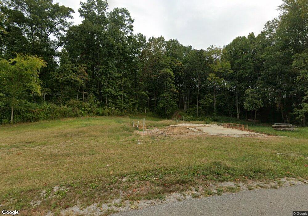
1750 Cunningham Rd Cookeville, TN 38506
Estimated Value: $72,010 - $200,000
--
Bed
1
Bath
1,128
Sq Ft
$137/Sq Ft
Est. Value
About This Home
This home is located at 1750 Cunningham Rd, Cookeville, TN 38506 and is currently estimated at $155,003, approximately $137 per square foot. 1750 Cunningham Rd is a home located in White County with nearby schools including Northfield Elementary School, White County Middle School, and White County High School.
Ownership History
Date
Name
Owned For
Owner Type
Purchase Details
Closed on
Jun 5, 2023
Sold by
Cunningham Debra Lynn
Bought by
Julian Stacy and Julian Marisa
Current Estimated Value
Purchase Details
Closed on
Jun 6, 1990
Bought by
Cunningham Debra Lynn
Purchase Details
Closed on
Feb 10, 1984
Bought by
Mccart Mccart A and Mccart Lois
Purchase Details
Closed on
Jan 1, 1982
Create a Home Valuation Report for This Property
The Home Valuation Report is an in-depth analysis detailing your home's value as well as a comparison with similar homes in the area
Home Values in the Area
Average Home Value in this Area
Purchase History
| Date | Buyer | Sale Price | Title Company |
|---|---|---|---|
| Julian Stacy | $15,000 | None Listed On Document | |
| Julian Stacy | $15,000 | None Listed On Document | |
| Cunningham Debra Lynn | $31,800 | -- | |
| Mccart Mccart A | -- | -- | |
| -- | $20,000 | -- |
Source: Public Records
Tax History Compared to Growth
Tax History
| Year | Tax Paid | Tax Assessment Tax Assessment Total Assessment is a certain percentage of the fair market value that is determined by local assessors to be the total taxable value of land and additions on the property. | Land | Improvement |
|---|---|---|---|---|
| 2024 | $291 | $14,200 | $3,375 | $10,825 |
| 2023 | $291 | $14,200 | $3,375 | $10,825 |
| 2022 | $291 | $14,200 | $3,375 | $10,825 |
| 2021 | $291 | $14,200 | $3,375 | $10,825 |
| 2020 | $291 | $14,200 | $3,375 | $10,825 |
| 2019 | $264 | $12,875 | $3,375 | $9,500 |
| 2018 | $264 | $12,875 | $3,375 | $9,500 |
| 2017 | $264 | $12,875 | $3,375 | $9,500 |
| 2016 | $264 | $12,875 | $3,375 | $9,500 |
| 2015 | $226 | $12,225 | $3,375 | $8,850 |
| 2014 | -- | $12,225 | $3,375 | $8,850 |
| 2013 | -- | $11,200 | $3,075 | $8,125 |
Source: Public Records
Map
Nearby Homes
- 1916 Rivers Edge Dr
- 1929 Rivers Edge Dr
- 1757 Bob Bullock Rd
- 1734 Hickory Cove
- 5416 Timberwalk Ln
- 5422 Rd
- 5421 Rock Cairn Rd
- 1454 Bradshaw Blvd
- 5448 Mason Way
- 5446 Mason Way
- 5444 Mason Way
- 5301 Lovelady Rd
- CALI Plan at Timberwalk
- BELFORT Plan at Timberwalk
- DEAUVILLE Plan at Timberwalk
- ARIA Plan at Timberwalk
- PENWELL Plan at Timberwalk
- HAYDEN Plan at Timberwalk
- 5442 Mason Way
- 5447 Mason Way
- 1848 Cunningham Rd
- 1860 Cunningham Rd
- 1961 Cunningham Rd
- 6100 Boatman Ln
- 7785 Mount Herman Rd
- 2089 Cunningham Rd
- 7755 Mount Herman Rd
- 2025 Cunningham Rd
- 2125 Cunningham Rd
- 2190 Cunningham Rd
- 7786 Mount Herman Rd
- 2137 Cunningham Rd
- 2141 Cunningham Rd
- 00 Farley Rd
- 5895 Boatman Ln
- 1190 Lancaster Rd
- 216 Crossgrain Rd
- 7527 Mount Herman Rd
- 1182 Lancaster Rd
- 5887 Boatman Ln
