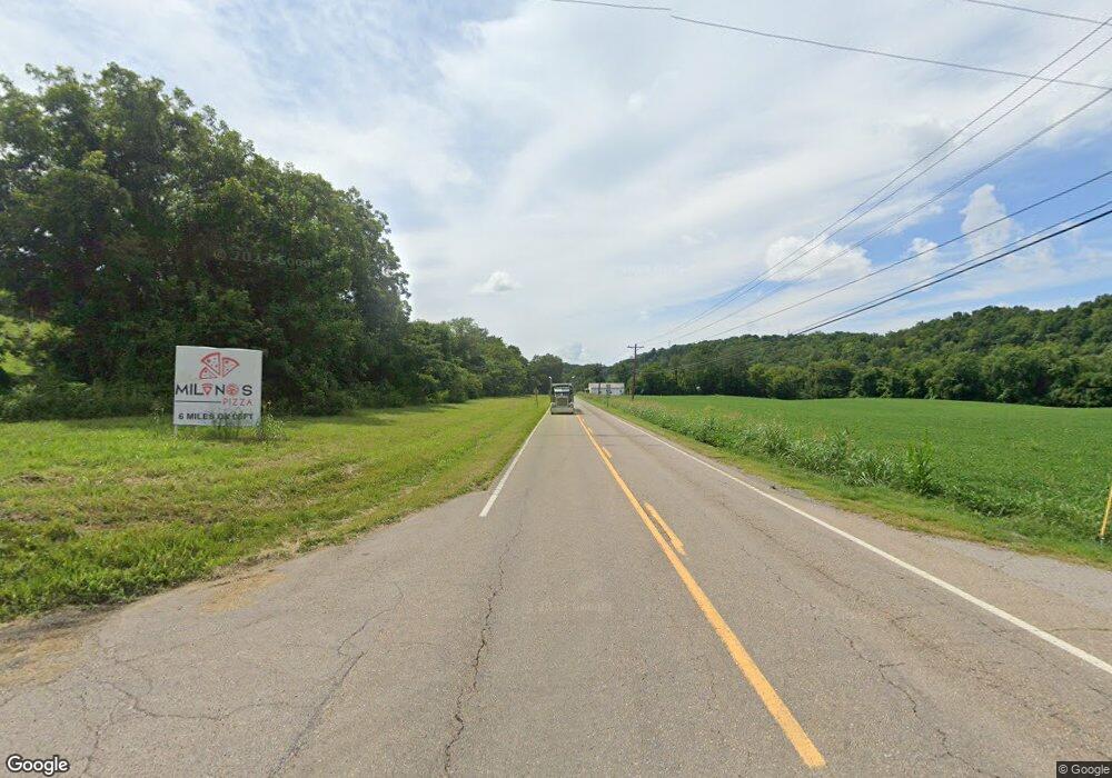
1750 E Highway 25 70 Dandridge, TN 37725
Estimated Value: $171,935 - $285,000
--
Bed
1
Bath
1,000
Sq Ft
$224/Sq Ft
Est. Value
About This Home
This home is located at 1750 E Highway 25 70, Dandridge, TN 37725 and is currently estimated at $224,484, approximately $224 per square foot. 1750 E Highway 25 70 is a home located in Jefferson County.
Ownership History
Date
Name
Owned For
Owner Type
Purchase Details
Closed on
Apr 19, 2023
Sold by
Ingram Maria E
Bought by
Maria E Ingram Revocable Trust
Current Estimated Value
Purchase Details
Closed on
Oct 12, 2006
Sold by
Waddelll Tiffany R
Bought by
Gary Ingram William
Home Financials for this Owner
Home Financials are based on the most recent Mortgage that was taken out on this home.
Original Mortgage
$66,800
Interest Rate
6.45%
Purchase Details
Closed on
Jun 23, 1998
Bought by
Waddell Tiffany R and Chadwick Ray
Purchase Details
Closed on
Nov 17, 1993
Bought by
Brewer Tiffany R and Brewer Phillip C
Purchase Details
Closed on
Oct 16, 1986
Bought by
Price Annie
Purchase Details
Closed on
Apr 4, 1983
Create a Home Valuation Report for This Property
The Home Valuation Report is an in-depth analysis detailing your home's value as well as a comparison with similar homes in the area
Home Values in the Area
Average Home Value in this Area
Purchase History
| Date | Buyer | Sale Price | Title Company |
|---|---|---|---|
| Maria E Ingram Revocable Trust | -- | None Listed On Document | |
| William Gary Ingram Revocable Trust | -- | None Listed On Document | |
| Ingram William Gary | -- | None Listed On Document | |
| Gary Ingram William | $83,500 | -- | |
| Waddell Tiffany R | $7,500 | -- | |
| Brewer Tiffany R | $15,000 | -- | |
| Price Annie | $17,500 | -- | |
| -- | -- | -- |
Source: Public Records
Mortgage History
| Date | Status | Borrower | Loan Amount |
|---|---|---|---|
| Previous Owner | Not Available | $66,800 | |
| Previous Owner | Not Available | $12,525 |
Source: Public Records
Tax History Compared to Growth
Tax History
| Year | Tax Paid | Tax Assessment Tax Assessment Total Assessment is a certain percentage of the fair market value that is determined by local assessors to be the total taxable value of land and additions on the property. | Land | Improvement |
|---|---|---|---|---|
| 2025 | $390 | $31,825 | $5,400 | $26,425 |
| 2023 | $390 | $16,975 | $0 | $0 |
| 2022 | $372 | $16,975 | $4,525 | $12,450 |
| 2021 | $372 | $16,975 | $4,525 | $12,450 |
| 2020 | $372 | $16,975 | $4,525 | $12,450 |
| 2019 | $372 | $16,975 | $4,525 | $12,450 |
| 2018 | $405 | $17,250 | $4,250 | $13,000 |
| 2017 | $405 | $17,250 | $4,250 | $13,000 |
| 2016 | $405 | $17,250 | $4,250 | $13,000 |
| 2015 | $405 | $17,250 | $4,250 | $13,000 |
| 2014 | $405 | $17,250 | $4,250 | $13,000 |
Source: Public Records
Map
Nearby Homes
- Lot 142 Arbor Ln
- 142 Arbor Ln
- 1689 U S 25w
- Lot 148 Fairmeadow Dr
- 1645 E Highway 25 70
- 2339 Wild Pear Trail
- Lot 11 Stokley Ct
- Lot 20 Plantation Point Dr
- 169 Plantation Point Dr
- 1023 Stokley Ct
- 2460 Wild Pear Trail
- lot 5 Deerwood Dr & Sunset Harbor Dr
- 0 Sunset Harbor Dr Unit 1308337
- Lot 43 Sunset Harbor Dr
- 455 Sunset Harbor Dr
- 1009 Old Newport Hwy
- Lot 70r Lakeside Ct
- 306 Bungalow Dr
- 307 Bungalow Dr
- 1746 E Highway 25 70
- 1774 E Highway 25 70
- 1742 E Highway 25 70
- 1745 E Highway 25 70
- 1738 E Highway 25 70
- 1770 E Highway 25 70
- 1743 E Highway 25 70
- 1805 E Highway 25 70
- Lot 3 Deerwood Dr
- 1722 E Highway 25 70
- 3 Deerwood Dr
- 1715 E Hwy 25 70
- 1716 E Highway 25 70
- 145 Deerwood Dr
- 1820 E Highway 25 70
- 147 Arbor Ln
- 1715 E Highway 25 70
- 1735 E Highway 25 70
- 419 Fair Meadow Dr
- 1706 E Highway 25 70
