1750 Hawes Rd El Centro, CA 92243
Studio
--
Bath
--
Sq Ft
35.13
Acres
About This Home
This home is located at 1750 Hawes Rd, El Centro, CA 92243. 1750 Hawes Rd is a home located in Imperial County with nearby schools including Meadows Elementary School and Central Union High School.
Ownership History
Date
Name
Owned For
Owner Type
Purchase Details
Closed on
Sep 15, 2022
Sold by
Ramsay Randal
Bought by
Rr Family Trust
Purchase Details
Closed on
Dec 12, 2006
Sold by
Ramsay Randal
Bought by
Ramsay Randal
Purchase Details
Closed on
Jun 2, 2006
Sold by
Ramsay Randal
Bought by
Ramsay Randal
Purchase Details
Closed on
Aug 20, 1999
Sold by
Moffett Wanda Ramsay
Bought by
Ramsay Randal Paul and Ramsay Rocke Wendell
Purchase Details
Closed on
Feb 8, 1999
Sold by
Juanita Gillett and Juanita Wanda
Bought by
Gillett Juanita and Ramsay Wanda
Purchase Details
Closed on
Nov 16, 1998
Sold by
Juanita Gillett
Bought by
Paul E Gillett Trust Paul E
Create a Home Valuation Report for This Property
The Home Valuation Report is an in-depth analysis detailing your home's value as well as a comparison with similar homes in the area
Purchase History
| Date | Buyer | Sale Price | Title Company |
|---|---|---|---|
| Rr Family Trust | -- | -- | |
| Ramsay Randal | -- | None Available | |
| Ramsay Randal | -- | None Available | |
| Ramsay Randal Paul | -- | -- | |
| Moffett Wanda Ramsey | -- | -- | |
| Gillett Juanita P | -- | -- | |
| Gillett Juanita | -- | -- | |
| Paul E Gillett Trust Paul E | -- | -- | |
| Moffett Wanda Ramsay | -- | -- |
Source: Public Records
Tax History
| Year | Tax Paid | Tax Assessment Tax Assessment Total Assessment is a certain percentage of the fair market value that is determined by local assessors to be the total taxable value of land and additions on the property. | Land | Improvement |
|---|---|---|---|---|
| 2025 | $1,462 | $124,978 | $76,004 | $48,974 |
| 2023 | $1,462 | $120,126 | $73,053 | $47,073 |
| 2022 | $1,419 | $117,771 | $71,621 | $46,150 |
| 2021 | $1,411 | $115,463 | $70,217 | $45,246 |
| 2020 | $1,440 | $114,281 | $69,498 | $44,783 |
| 2019 | $1,430 | $112,041 | $68,136 | $43,905 |
| 2018 | $1,414 | $109,845 | $66,800 | $43,045 |
| 2017 | $1,313 | $107,692 | $65,491 | $42,201 |
| 2016 | $1,264 | $105,581 | $64,207 | $41,374 |
| 2015 | $1,238 | $103,996 | $63,243 | $40,753 |
| 2014 | $1,219 | $101,960 | $62,005 | $39,955 |
Source: Public Records
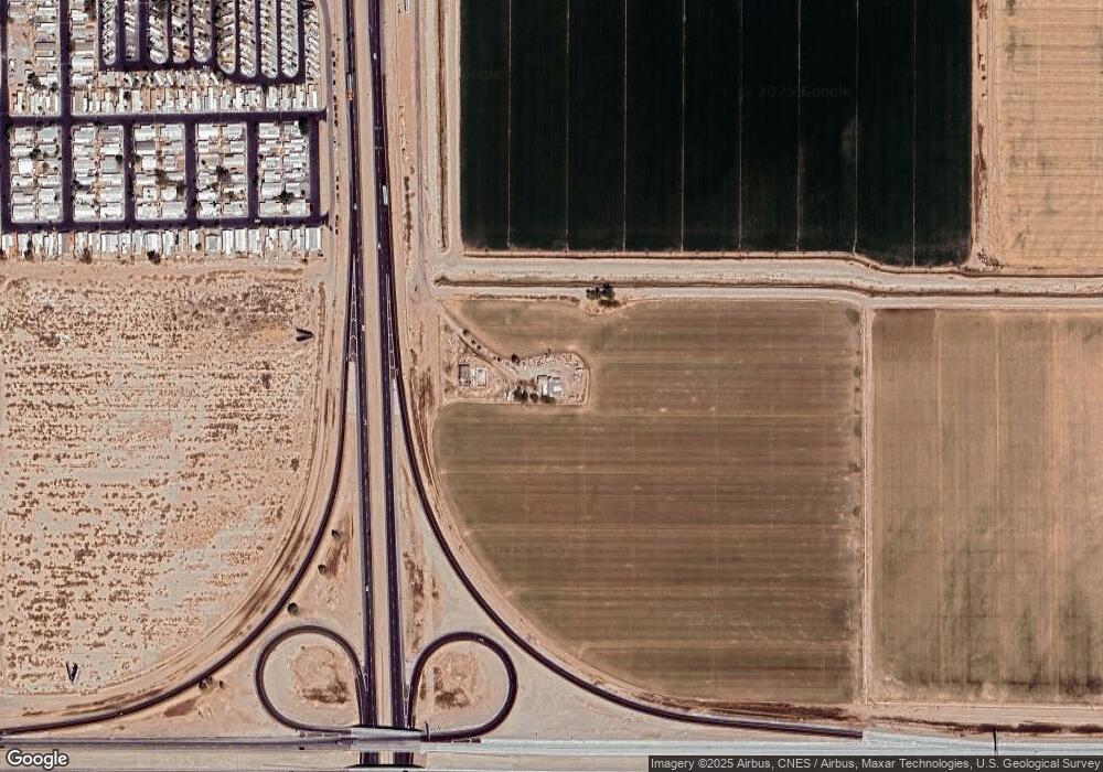
Map
Nearby Homes
- 1951 Bowker Rd Unit 1953
- 1817 S Dogwood Rd
- 1859 Dogwood Rd
- 1803 S Dogwood Rd
- 3924 S Dogwood Rd
- 1887 S Dogwood Rd
- 1859 S Dogwood Rd
- 1998 S Dogwood Rd
- 411 E Aurora Dr
- 481 E State St
- 0 W Mineo Ave
- 471 E State St
- 105 E Ross Ave
- 427 E Ross Ave
- 827 S Hope St
- 280 E Aurora Dr
- 371 E Ross Ave
- 1004 S 1st St
- 102 Danenberg Dr
- 108 W Holt Ave
- 1748 Singh Rd
- 404 E Ross Rd
- 375 E Ross Rd Unit 23
- 375 E Ross Rd Unit 611
- 375 E Ross Rd Unit 21
- 495 E Ross Rd
- 304 E Ross Rd
- 1734 Cannon Rd
- 300 E Ross Rd
- 355 E Grafton Rd
- 349 E Grafton Rd
- 498 E Ross Rd
- 350 E Dealwood Rd Unit 370
- 1655 Lollie Ln
- 298 E Ross Rd
- 1847 Cannon Rd
- 1845 Cannon Rd
- 1849 Cannon Rd
- 1654 Lollie Ln
- 1855 Cannon Rd
Your Personal Tour Guide
Ask me questions while you tour the home.