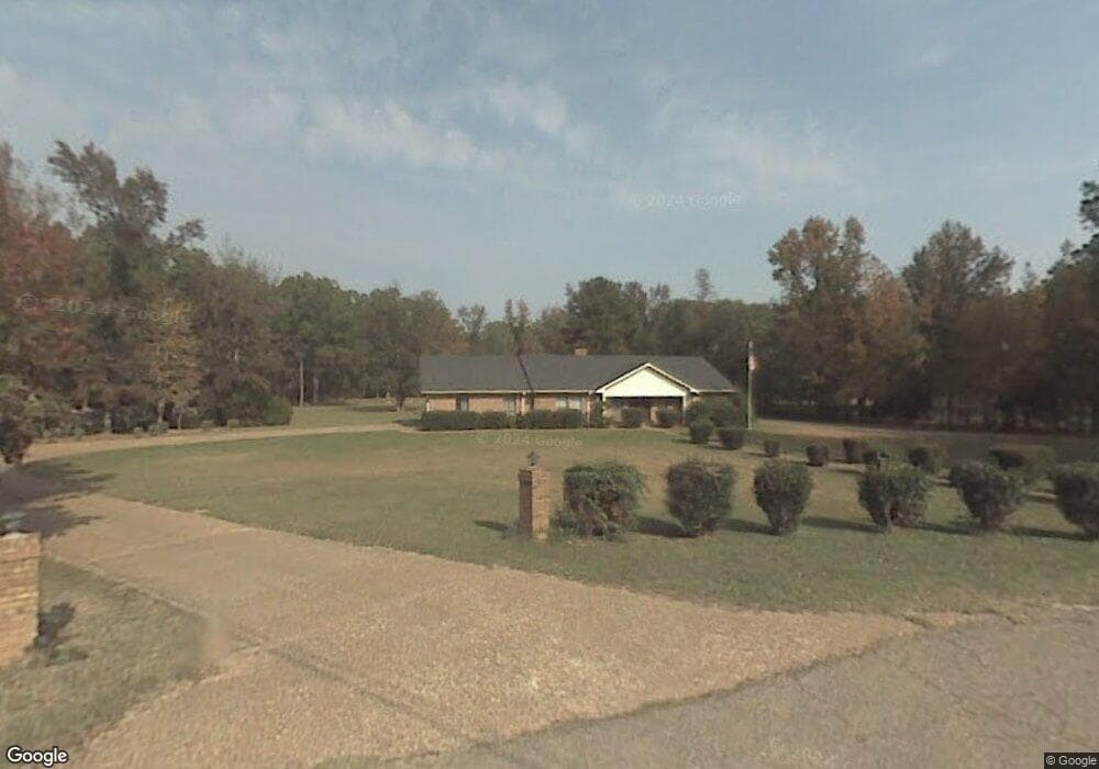
1750 Linda Dr NW Clinton, MS 39056
Estimated Value: $276,000 - $327,000
3
Beds
3
Baths
1,988
Sq Ft
$155/Sq Ft
Est. Value
About This Home
This home is located at 1750 Linda Dr NW, Clinton, MS 39056 and is currently estimated at $307,178, approximately $154 per square foot. 1750 Linda Dr NW is a home located in Hinds County with nearby schools including Clinton Park Elementary School, Eastside Elementary School, and Northside Elementary School.
Ownership History
Date
Name
Owned For
Owner Type
Purchase Details
Closed on
Sep 10, 2020
Sold by
Ballard Elizabeth and Ballard Dewayne
Bought by
Howell Baxter Allen
Current Estimated Value
Home Financials for this Owner
Home Financials are based on the most recent Mortgage that was taken out on this home.
Original Mortgage
$247,000
Interest Rate
2.73%
Mortgage Type
Purchase Money Mortgage
Create a Home Valuation Report for This Property
The Home Valuation Report is an in-depth analysis detailing your home's value as well as a comparison with similar homes in the area
Home Values in the Area
Average Home Value in this Area
Purchase History
| Date | Buyer | Sale Price | Title Company |
|---|---|---|---|
| Howell Baxter Allen | -- | None Available |
Source: Public Records
Mortgage History
| Date | Status | Borrower | Loan Amount |
|---|---|---|---|
| Previous Owner | Howell Baxter Allen | $247,000 |
Source: Public Records
Tax History Compared to Growth
Tax History
| Year | Tax Paid | Tax Assessment Tax Assessment Total Assessment is a certain percentage of the fair market value that is determined by local assessors to be the total taxable value of land and additions on the property. | Land | Improvement |
|---|---|---|---|---|
| 2025 | $2,109 | $15,692 | $5,700 | $9,992 |
| 2024 | $2,109 | $15,692 | $5,700 | $9,992 |
| 2023 | $2,109 | $15,692 | $5,700 | $9,992 |
| 2022 | $2,386 | $15,692 | $5,700 | $9,992 |
| 2021 | $3,578 | $23,538 | $8,550 | $14,988 |
| 2020 | $3,518 | $23,310 | $8,550 | $14,760 |
| 2019 | $3,590 | $23,310 | $8,550 | $14,760 |
| 2018 | $1,238 | $15,540 | $5,700 | $9,840 |
| 2017 | $1,192 | $15,540 | $5,700 | $9,840 |
| 2016 | $1,192 | $15,540 | $5,700 | $9,840 |
| 2015 | $1,159 | $15,346 | $5,700 | $9,646 |
| 2014 | $1,159 | $15,346 | $5,700 | $9,646 |
Source: Public Records
Map
Nearby Homes
- 73 Canebrake Ct
- 0 Copper Creek Dr Unit 4113564
- 0 Copper Creek Dr Unit 4113527
- 130 Pinehaven Place
- 305 Linda Dr
- 0 Clinton-Tinnin Unit 4126141
- 0 Clinton-Tinnin Unit 4101981
- 2 Pinehaven Place
- 1 Pinehaven Place
- 110 Trace Pointe Place
- 114 Trace Pointe Place
- 116 Trace Pointe Place
- 101 Kentucky Way
- 1609 Linda Dr SW
- 102 Stafford Dr
- 112 Horseshoe Blvd
- 110 Horseshoe Blvd
- CAMDEN Plan at Horseshoe Bend
- DESTIN Plan at Horseshoe Bend
- JASMINE Plan at Horseshoe Bend
- 1751 Linda Dr NW
- 1746 Linda Dr NW
- 1747 Linda Dr NW
- 1740 Linda Dr NW
- 128 Marion Dr
- 1753 Linda Dr NW
- 105 Stonebrook Ct
- 103 Stonebrook Ct
- 1584 Quail Ridge Dr
- 126 Marion Dr
- 124 Marion Dr
- 130 Marion Dr
- 104 Stonebrook Ct
- 125 Marion Dr
- 1730 Linda Dr NW
- 1741 Linda Dr NW
- 101 Stonebrook Ct
- 122 Marion Dr
- 1734 Linda Dr NW
- 1734 Linda Dr NW