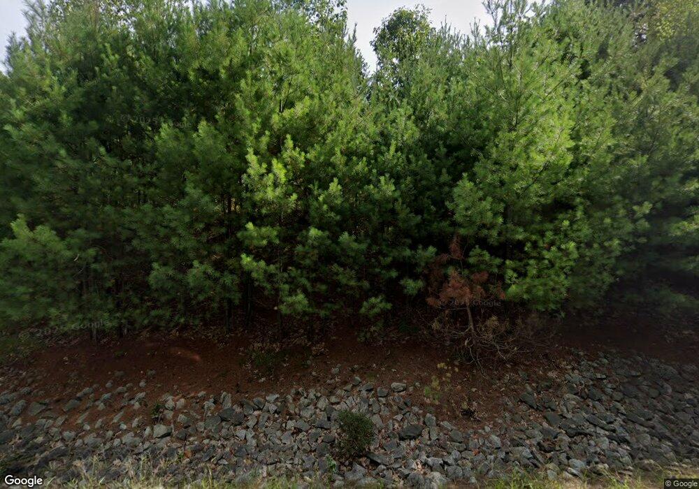
Estimated Value: $564,210 - $711,000
4
Beds
2
Baths
2,886
Sq Ft
$212/Sq Ft
Est. Value
About This Home
This home is located at 1751 Branch Rd, Wells, ME 04090 and is currently estimated at $610,803, approximately $211 per square foot. 1751 Branch Rd is a home located in York County with nearby schools including Wells Junior High School, Wells Elementary School, and Wells High School.
Ownership History
Date
Name
Owned For
Owner Type
Purchase Details
Closed on
Jun 13, 2016
Sold by
Broadbent Peregrine V
Bought by
Broadbent William R
Current Estimated Value
Home Financials for this Owner
Home Financials are based on the most recent Mortgage that was taken out on this home.
Original Mortgage
$126,000
Outstanding Balance
$100,575
Interest Rate
3.66%
Mortgage Type
Unknown
Estimated Equity
$510,228
Purchase Details
Closed on
Dec 1, 2011
Sold by
Thakong Suphab and Thakong Siripen
Bought by
Broadbent Peregrine and Broadbent William R
Home Financials for this Owner
Home Financials are based on the most recent Mortgage that was taken out on this home.
Original Mortgage
$80,000
Interest Rate
4.1%
Mortgage Type
Purchase Money Mortgage
Create a Home Valuation Report for This Property
The Home Valuation Report is an in-depth analysis detailing your home's value as well as a comparison with similar homes in the area
Home Values in the Area
Average Home Value in this Area
Purchase History
| Date | Buyer | Sale Price | Title Company |
|---|---|---|---|
| Broadbent William R | -- | -- | |
| Broadbent Peregrine | -- | -- |
Source: Public Records
Mortgage History
| Date | Status | Borrower | Loan Amount |
|---|---|---|---|
| Open | Broadbent William R | $126,000 | |
| Closed | Broadbent Peregrine | $80,000 |
Source: Public Records
Tax History Compared to Growth
Tax History
| Year | Tax Paid | Tax Assessment Tax Assessment Total Assessment is a certain percentage of the fair market value that is determined by local assessors to be the total taxable value of land and additions on the property. | Land | Improvement |
|---|---|---|---|---|
| 2024 | $2,952 | $485,590 | $128,330 | $357,260 |
| 2023 | $2,894 | $485,590 | $128,330 | $357,260 |
| 2022 | $2,622 | $250,630 | $58,290 | $192,340 |
| 2021 | $2,637 | $250,630 | $56,190 | $194,440 |
| 2020 | $2,627 | $250,630 | $58,290 | $192,340 |
| 2019 | $2,612 | $250,630 | $58,290 | $192,340 |
| 2018 | $2,587 | $250,630 | $58,290 | $192,340 |
| 2017 | $2,546 | $250,630 | $58,290 | $192,340 |
| 2016 | $2,521 | $250,630 | $58,290 | $192,340 |
| 2015 | $2,494 | $250,630 | $58,290 | $192,340 |
| 2013 | $2,286 | $250,630 | $58,290 | $192,340 |
Source: Public Records
Map
Nearby Homes
- lot 20 Lydias Cir
- lot 12 Lydia's Cir
- lot 6 Lydias Cir
- lot 5 Lydia's Cir
- lot 3 Lydias Cir
- 17 Cascade Cir Unit 19
- 15 Dragonfly Ln
- 38 Four Seasons Farm Rd Unit 2
- 54 Sycamore Ln Unit 19
- 17 Hampton Glen Dr Unit 5
- 25 Cambridge Ct
- 9 Hampton Glen Dr Unit 3
- 29 Bentley Place Unit 50
- 108 Hampton Glen Dr Unit 108
- 22 Winchester Ct
- 23 Lilac Ln
- 1007 Branch Rd
- 6 Dunnhill Dr Unit 28
- 3 Kensington Dr
- 3 Cider Mill Ln
- 1733 Branch Rd
- 433 Sand Pail (Summer Village) Unit 433
- 17 Sandy Ln Unit 17
- 23 Sandy Ln
- 9 Sandy Ln Unit 9
- 1699 Branch Rd
- 1686 Branch Rd
- 165 High St
- 1672 Branch Rd
- 1671 Branch Rd
- 1657 Branch Rd
- 1656 Branch Rd
- 166 High St
- 160 High St
- 1643 Branch Rd
- 1646 Branch Rd
- 61 Sandy Ln
- 1634 Branch Rd
- 1633 Branch Rd
- 1623 Branch Rd
