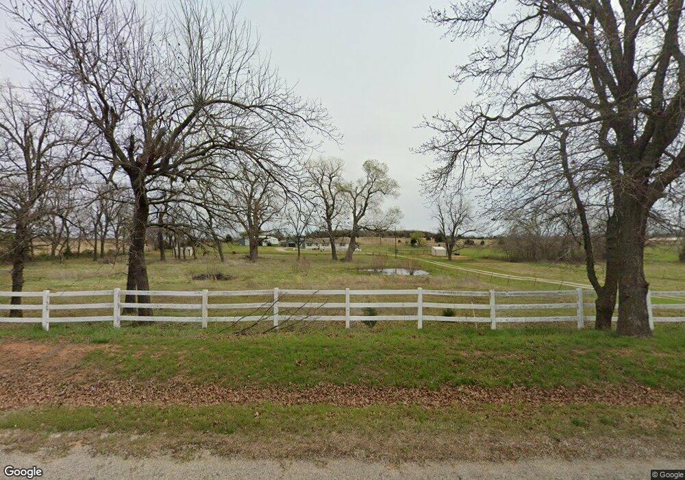
1751 N Range Rd McLoud, OK 74851
Estimated Value: $155,000 - $245,000
3
Beds
2
Baths
1,612
Sq Ft
$133/Sq Ft
Est. Value
About This Home
This home is located at 1751 N Range Rd, McLoud, OK 74851 and is currently estimated at $214,577, approximately $133 per square foot. 1751 N Range Rd is a home located in Pottawatomie County with nearby schools including McLoud Elementary School, McLoud Intermediate School, and McLoud Junior High School.
Ownership History
Date
Name
Owned For
Owner Type
Purchase Details
Closed on
Feb 9, 2026
Sold by
Nicewander Roseann Clifton
Bought by
Nicewander Living Trust and Nicewander
Current Estimated Value
Purchase Details
Closed on
Jul 20, 2023
Sold by
Rushing Tommie D and Rushing Pamela S
Bought by
Tommie And Pam Rushing Family Trust and Rushing
Purchase Details
Closed on
Apr 27, 2001
Sold by
Rushing Tommie and Rushing Pamela
Bought by
Nicewander Vernon and Nicewander Rosea
Purchase Details
Closed on
Apr 8, 1997
Sold by
Rushing Kathy
Bought by
Rushing Tommie
Create a Home Valuation Report for This Property
The Home Valuation Report is an in-depth analysis detailing your home's value as well as a comparison with similar homes in the area
Purchase History
| Date | Buyer | Sale Price | Title Company |
|---|---|---|---|
| Nicewander Living Trust | -- | None Listed On Document | |
| Tommie And Pam Rushing Family Trust | -- | None Listed On Document | |
| Nicewander Vernon | $35,000 | -- | |
| Rushing Tommie | -- | -- |
Source: Public Records
Tax History
| Year | Tax Paid | Tax Assessment Tax Assessment Total Assessment is a certain percentage of the fair market value that is determined by local assessors to be the total taxable value of land and additions on the property. | Land | Improvement |
|---|---|---|---|---|
| 2025 | $1,405 | $16,815 | $3,270 | $13,545 |
| 2024 | $1,350 | $16,326 | $3,175 | $13,151 |
| 2023 | $1,350 | $15,851 | $3,078 | $12,773 |
| 2022 | $1,326 | $15,389 | $2,983 | $12,406 |
| 2021 | $1,671 | $15,389 | $2,983 | $12,406 |
| 2020 | $1,246 | $14,506 | $2,803 | $11,703 |
| 2019 | $1,245 | $14,084 | $2,695 | $11,389 |
| 2018 | $1,280 | $13,673 | $2,580 | $11,093 |
| 2017 | $1,257 | $13,275 | $2,502 | $10,773 |
| 2016 | $1,090 | $12,887 | $2,398 | $10,489 |
| 2015 | $989 | $12,513 | $2,501 | $10,012 |
| 2014 | $989 | $12,148 | $2,508 | $9,640 |
Source: Public Records
Map
Nearby Homes
- 10697 Chandler Way
- 0 E 1060 Rd
- 19 Russell Rd
- 106851 S Paula Jean Dr
- 0006 E 1060 Rd
- 00009 E 1060 Rd
- 00004 E 1060 Rd
- 00002 E 1060 Rd
- 000014 E 1060 Rd
- 00016 E 1060 Rd
- 00011 E 1060 Rd
- 00005 E 1060 Rd
- 00003 E 1060 Rd
- 00015 E 1060 Rd
- 00012 E 1060 Rd
- 00007 E 1060 Rd
- 00013 E 1060 Rd
- 00010 E 1060 Rd
- 00008 E 1060 Rd
- 115 Thornbrue Dr
- 1631 N Range Rd
- 2150 N Range Rd
- 2251 N Range Rd
- 266B Rr 2
- 122 Cottonwood Dr
- 113 Cottonwood Dr
- 118 Cottonwood Dr
- 35304 Hazel Dell Rd
- 34802 Hazel Dell Rd
- 34813 Hazel Dell Rd
- 34325 E 1070 Rd
- 2 Chandler Way
- 10711 Chandler Way
- 34706 Hazel Dell Rd
- 34711 Hazel Dell Rd
- 34602 Hazel Dell Rd
- 34685 Hazel Dell Rd
- 35608 Hazel Dell Rd
- 34815 Hazel Dell Rd
- 176 Rr 2
Your Personal Tour Guide
Ask me questions while you tour the home.