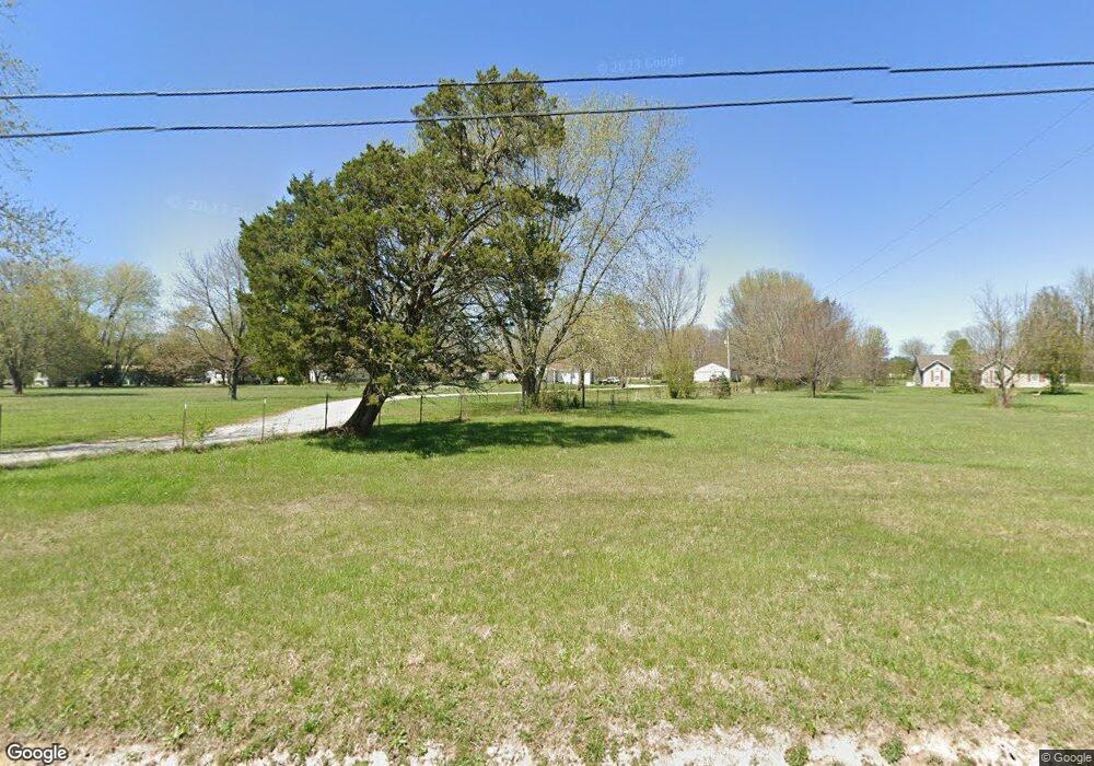
1751 Ragsdale Rd Manchester, TN 37355
Estimated Value: $300,000 - $420,000
--
Bed
2
Baths
1,680
Sq Ft
$208/Sq Ft
Est. Value
About This Home
This home is located at 1751 Ragsdale Rd, Manchester, TN 37355 and is currently estimated at $348,943, approximately $207 per square foot. 1751 Ragsdale Rd is a home located in Coffee County with nearby schools including East Coffee Elementary School, Coffee County Middle School, and Coffee County Central High School.
Ownership History
Date
Name
Owned For
Owner Type
Purchase Details
Closed on
Mar 3, 2021
Sold by
Pierce James R and Estate Of Christopher Albert P
Bought by
Pierce James R
Current Estimated Value
Purchase Details
Closed on
Jan 5, 2001
Bought by
Pierce James R and Pierce Juanita R
Purchase Details
Closed on
Jan 8, 2000
Sold by
Floyd Stacey
Bought by
Pierce James R and Pierce Juanita
Purchase Details
Closed on
Jun 10, 1994
Sold by
Brandon Ronald and Brandon Linda
Bought by
Floyd Stacey L
Create a Home Valuation Report for This Property
The Home Valuation Report is an in-depth analysis detailing your home's value as well as a comparison with similar homes in the area
Home Values in the Area
Average Home Value in this Area
Purchase History
| Date | Buyer | Sale Price | Title Company |
|---|---|---|---|
| Pierce James R | -- | None Available | |
| Pierce James R | $45,000 | -- | |
| Pierce James R | $45,000 | -- | |
| Floyd Stacey L | $32,000 | -- |
Source: Public Records
Tax History Compared to Growth
Tax History
| Year | Tax Paid | Tax Assessment Tax Assessment Total Assessment is a certain percentage of the fair market value that is determined by local assessors to be the total taxable value of land and additions on the property. | Land | Improvement |
|---|---|---|---|---|
| 2024 | $1,314 | $56,375 | $15,325 | $41,050 |
| 2023 | $1,314 | $56,375 | $0 | $0 |
| 2022 | $1,314 | $56,375 | $15,325 | $41,050 |
| 2021 | $1,212 | $41,325 | $9,200 | $32,125 |
| 2020 | $1,212 | $41,325 | $9,200 | $32,125 |
| 2019 | $1,212 | $41,325 | $9,200 | $32,125 |
| 2018 | $1,212 | $41,325 | $9,200 | $32,125 |
| 2017 | $1,157 | $35,450 | $7,325 | $28,125 |
| 2016 | $1,157 | $35,450 | $7,325 | $28,125 |
| 2015 | $1,157 | $35,450 | $7,325 | $28,125 |
| 2014 | $1,157 | $35,460 | $0 | $0 |
Source: Public Records
Map
Nearby Homes
- 106 Grandview Dr
- 74 Grandview Dr
- 1395 Ragsdale Rd
- 2315 Ragsdale Rd
- 215 Wellington Dr
- 304 W Lynn Dr
- 775 Ragsdale Rd
- 38 Falcon Dr
- 499 Ridgewood Dr
- 627 Ragsdale Rd
- 166 Keele Rd
- 3313 McMinnville Hwy
- 1292 McMinnville Hwy
- 1270 Taylor Rd
- 416 Powers Rd
- 793 Old Bushy Branch Rd
- 2987 New Bushy Branch Rd
- 58 Stonehenge Ln
- 676 Riddle Rd
- 133 Stonehenge Cir
- 1799 Ragsdale Rd
- 1835 Ragsdale Rd
- 1691 Ragsdale Rd
- 15 Grandview Dr
- 91 Grandview Dr
- 1631 Ragsdale Rd
- 159 Grandview Dr
- 1559 Ragsdale Rd
- 2013 Ragsdale Rd
- 190 Grandview Dr
- 222 Grandview Dr
- 2065 Ragsdale Rd
- 269 Grandview Dr
- 2110 Ragsdale Rd
- 300 Grandview Dr
- 2127 Ragsdale Rd
- 324 Grandview Dr
- 359 Grandview Dr
- 356 Grandview Dr
- 532 W Lynn Dr