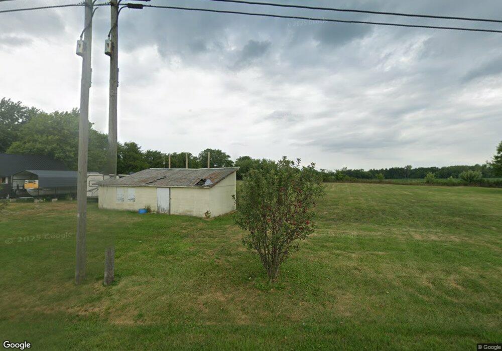
17513 Ohio 67 Kenton, OH 43326
Estimated Value: $221,000 - $262,000
3
Beds
1
Bath
1,872
Sq Ft
$126/Sq Ft
Est. Value
About This Home
This home is located at 17513 Ohio 67, Kenton, OH 43326 and is currently estimated at $235,769, approximately $125 per square foot. 17513 Ohio 67 is a home located in Hardin County with nearby schools including Kenton Elementary School, Kenton Middle School, and Kenton High School.
Ownership History
Date
Name
Owned For
Owner Type
Purchase Details
Closed on
Aug 7, 2025
Sold by
Butterfield Rhonda J and Butterfield William R
Bought by
Butterfield Rhonda J and Butterfield William R
Current Estimated Value
Home Financials for this Owner
Home Financials are based on the most recent Mortgage that was taken out on this home.
Original Mortgage
$130,000
Outstanding Balance
$129,893
Interest Rate
6.99%
Mortgage Type
New Conventional
Estimated Equity
$105,876
Purchase Details
Closed on
Aug 7, 2015
Sold by
Cummings Richard P and Cummings Marlene
Bought by
Butterfield Rhonda J
Home Financials for this Owner
Home Financials are based on the most recent Mortgage that was taken out on this home.
Original Mortgage
$40,000
Interest Rate
4.01%
Mortgage Type
Commercial
Purchase Details
Closed on
Apr 23, 2009
Sold by
Deutsche Bank Na
Bought by
Cummings Richadd P and Cummings Marlene
Home Financials for this Owner
Home Financials are based on the most recent Mortgage that was taken out on this home.
Original Mortgage
$44,100
Interest Rate
4.85%
Mortgage Type
Future Advance Clause Open End Mortgage
Purchase Details
Closed on
Jan 9, 2009
Sold by
Busby Mark A
Bought by
Deutsche Bank National Trust Co
Purchase Details
Closed on
Nov 10, 2005
Sold by
Jp Morgan Chase Bank
Bought by
Sharrock David and Sharrock Doris
Purchase Details
Closed on
May 25, 2005
Sold by
Sharrock David R and Sharrock Doris
Bought by
Busby Mark A
Home Financials for this Owner
Home Financials are based on the most recent Mortgage that was taken out on this home.
Original Mortgage
$144,415
Interest Rate
8.67%
Mortgage Type
Adjustable Rate Mortgage/ARM
Purchase Details
Closed on
Jun 22, 2001
Bought by
Ramge John Andrew and Ramge Shel
Purchase Details
Closed on
Mar 25, 1999
Bought by
Moore Brewie and Moore Margaret
Purchase Details
Closed on
Dec 23, 1996
Bought by
Morris Jayme Lynn
Create a Home Valuation Report for This Property
The Home Valuation Report is an in-depth analysis detailing your home's value as well as a comparison with similar homes in the area
Purchase History
| Date | Buyer | Sale Price | Title Company |
|---|---|---|---|
| Butterfield Rhonda J | -- | Union County Title | |
| Butterfield Rhonda J | $39,000 | None Available | |
| Cummings Richadd P | $49,000 | None Available | |
| Deutsche Bank National Trust Co | $500,000 | None Available | |
| Sharrock David | $32,500 | Resource Title Agency Inc | |
| Busby Mark A | $169,900 | None Available | |
| Ramge John Andrew | $70,000 | -- | |
| Moore Brewie | $87,000 | -- | |
| Morris Jayme Lynn | -- | -- |
Source: Public Records
Mortgage History
| Date | Status | Borrower | Loan Amount |
|---|---|---|---|
| Open | Butterfield Rhonda J | $130,000 | |
| Previous Owner | Butterfield Rhonda J | $40,000 | |
| Previous Owner | Cummings Richadd P | $44,100 | |
| Previous Owner | Busby Mark A | $144,415 |
Source: Public Records
Tax History
| Year | Tax Paid | Tax Assessment Tax Assessment Total Assessment is a certain percentage of the fair market value that is determined by local assessors to be the total taxable value of land and additions on the property. | Land | Improvement |
|---|---|---|---|---|
| 2024 | $1,898 | $45,200 | $9,170 | $36,030 |
| 2023 | $1,900 | $45,200 | $9,170 | $36,030 |
| 2022 | $1,420 | $31,200 | $6,130 | $25,070 |
| 2021 | $1,466 | $32,070 | $6,130 | $25,940 |
| 2020 | $1,268 | $32,070 | $6,130 | $25,940 |
| 2019 | $1,033 | $27,120 | $5,920 | $21,200 |
| 2018 | $1,034 | $27,120 | $5,920 | $21,200 |
| 2017 | $897 | $27,120 | $5,920 | $21,200 |
| 2016 | $778 | $21,710 | $5,400 | $16,310 |
| 2015 | $778 | $21,710 | $5,400 | $16,310 |
| 2014 | $794 | $21,710 | $5,400 | $16,310 |
| 2013 | $862 | $22,530 | $5,400 | $17,130 |
Source: Public Records
Map
Nearby Homes
- 16439 County Road 144
- 12160 Pamela Dr
- 11925 County Road 175
- 11896 Parklane Dr
- 8626 County Road 175
- 120 Oak Ln Unit 7
- 0 Gilmore St Unit Lot 9
- 0 Gilmore St Unit Lot 10
- 89 Broadway St
- 79 Broadway St
- 503 Jennings St Unit Lot 7
- 619 E North St
- 416 E Eliza St Unit Lot 1
- 690 N High St
- 0 N Barron St Unit Lot 6
- 0 N Barron St Unit Lot 8
- 0 N Barron St Unit Lot 3
- 0 N Barron St Unit Lot 2
- 0 N Barron St Unit Lot 4
- 820 King St
- 17513 State Route 67
- 10307 Township Road 189
- 10307 Tr 189
- 17481 State Route 67
- 10283 Township Road 189
- 10261 Township Road 189
- 10241 Township Road 189
- 17451 Ohio 67
- 17451 State Route 67
- 17369 State Route 67
- 17686 State Route 67
- 17253 State Route 67
- 17326 State Route 67
- 17217 State Route 67
- 9970 Township Road 189
- 10146 County Road 195
- 10527 County Road 195
- 9802 Township Road 189
- 10364 County Rd
Your Personal Tour Guide
Ask me questions while you tour the home.