17516 260th St S Barnesville, MN 56514
Estimated Value: $355,451
--
Bed
--
Bath
--
Sq Ft
7.47
Acres
About This Home
This home is located at 17516 260th St S, Barnesville, MN 56514 and is currently estimated at $355,451. 17516 260th St S is a home located in Clay County with nearby schools including Barnesville Elementary School and Barnesville Secondary School.
Ownership History
Date
Name
Owned For
Owner Type
Purchase Details
Closed on
Feb 23, 2015
Sold by
Schindler Patrick W and Schindler Michelle B
Bought by
Us Fish & Wildlife
Current Estimated Value
Purchase Details
Closed on
Dec 23, 2012
Sold by
Groesbeck Robert A and Groesbeck Mary
Bought by
Schindler Patrick W and Schindler Michelle B
Purchase Details
Closed on
Aug 8, 2007
Sold by
Roesbeck Robert A and Roesbeck Mary
Bought by
Schindler Patrick W and Schindler Michelle B
Home Financials for this Owner
Home Financials are based on the most recent Mortgage that was taken out on this home.
Original Mortgage
$133,500
Interest Rate
6.77%
Mortgage Type
New Conventional
Create a Home Valuation Report for This Property
The Home Valuation Report is an in-depth analysis detailing your home's value as well as a comparison with similar homes in the area
Home Values in the Area
Average Home Value in this Area
Purchase History
| Date | Buyer | Sale Price | Title Company |
|---|---|---|---|
| Us Fish & Wildlife | $210,000 | -- | |
| Schindler Patrick W | -- | None Available | |
| Schindler Patrick W | $170,000 | None Available | |
| Groesbeck Robert A | $175,000 | None Available |
Source: Public Records
Mortgage History
| Date | Status | Borrower | Loan Amount |
|---|---|---|---|
| Previous Owner | Groesbeck Robert A | $133,500 | |
| Closed | Schindler Patrick W | $0 |
Source: Public Records
Tax History Compared to Growth
Tax History
| Year | Tax Paid | Tax Assessment Tax Assessment Total Assessment is a certain percentage of the fair market value that is determined by local assessors to be the total taxable value of land and additions on the property. | Land | Improvement |
|---|---|---|---|---|
| 2025 | -- | $22,300 | $13,400 | $8,900 |
| 2024 | -- | $44,400 | $29,700 | $14,700 |
| 2023 | $0 | $40,100 | $29,700 | $10,400 |
| 2022 | $42 | $40,100 | $29,700 | $10,400 |
| 2021 | $42 | $32,700 | $24,000 | $8,700 |
| 2020 | $42 | $31,700 | $23,000 | $8,700 |
| 2019 | $42 | $138,200 | $67,400 | $70,800 |
| 2018 | $42 | $138,200 | $67,400 | $70,800 |
| 2017 | $42 | $138,200 | $67,400 | $70,800 |
| 2016 | $1,356 | $159,500 | $51,100 | $108,400 |
| 2015 | $1,164 | $155,000 | $51,200 | $103,800 |
| 2014 | $1,312 | $155,000 | $51,200 | $103,800 |
Source: Public Records
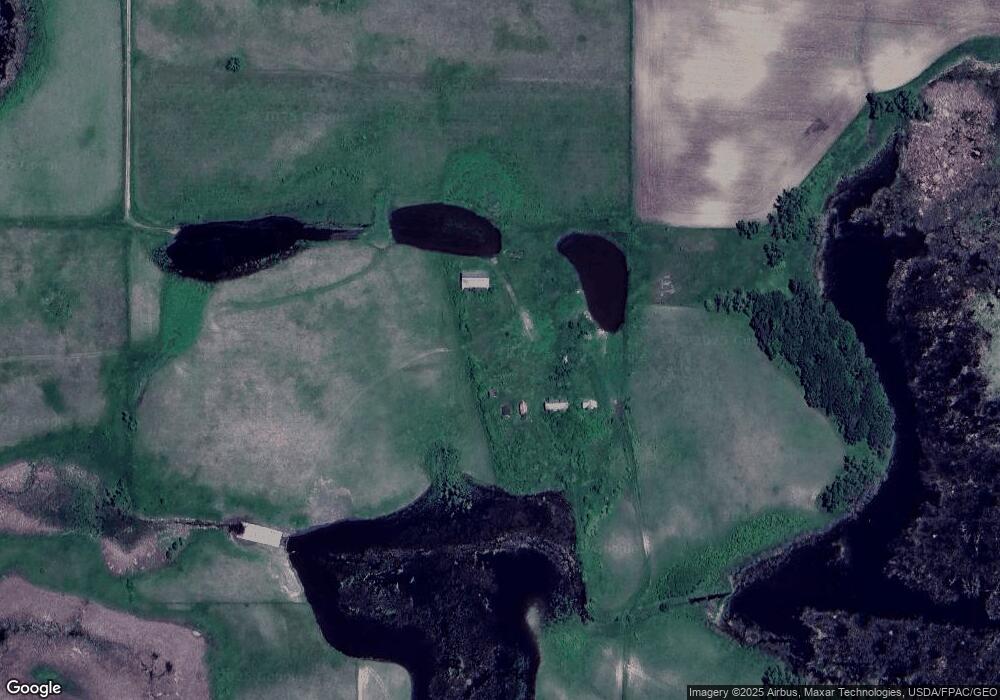
Map
Nearby Homes
- (LOT A) TBD 100th Ave
- 0 Tbd 100th Ave Unit LotWP003 23378671
- 0 Tbd 100th Ave Unit LotWP004
- (LOT B) TBD 100th Ave
- 15544 260th St S
- 26203 154 Ave S
- 26085 154 Ave S
- 26147 154 Ave S
- 26088 154 Ave S
- 26029 154 Ave S
- TBD 147th Ave S
- TBD W Lake Olaf Rd
- 27606 130th Ave S
- 17021 470th St
- 148XX Co Hwy 30 [C]
- 46315 County Highway 23
- 15512 210th St S
- 149XX Co Hwy 30 [D]
- 206 19th Street Cir SE
- 207 19th Street Cir SE