1753 223rd St Red Oak, IA 51566
Estimated Value: $106,000 - $172,000
3
Beds
2
Baths
1,084
Sq Ft
$126/Sq Ft
Est. Value
About This Home
This home is located at 1753 223rd St, Red Oak, IA 51566 and is currently estimated at $136,667, approximately $126 per square foot. 1753 223rd St is a home located in Montgomery County with nearby schools including Red Oak Early Childhood Center, Red Oak Middle School, and Red Oak Junior/Senior High School.
Ownership History
Date
Name
Owned For
Owner Type
Purchase Details
Closed on
Aug 14, 2006
Sold by
Benda Mark and Benda Marcia
Bought by
Mcardle Angela C
Current Estimated Value
Home Financials for this Owner
Home Financials are based on the most recent Mortgage that was taken out on this home.
Original Mortgage
$107,000
Outstanding Balance
$73,234
Interest Rate
6.88%
Mortgage Type
USDA
Estimated Equity
$63,433
Create a Home Valuation Report for This Property
The Home Valuation Report is an in-depth analysis detailing your home's value as well as a comparison with similar homes in the area
Home Values in the Area
Average Home Value in this Area
Purchase History
| Date | Buyer | Sale Price | Title Company |
|---|---|---|---|
| Mcardle Angela C | $107,000 | -- |
Source: Public Records
Mortgage History
| Date | Status | Borrower | Loan Amount |
|---|---|---|---|
| Open | Mcardle Angela C | $107,000 |
Source: Public Records
Tax History Compared to Growth
Tax History
| Year | Tax Paid | Tax Assessment Tax Assessment Total Assessment is a certain percentage of the fair market value that is determined by local assessors to be the total taxable value of land and additions on the property. | Land | Improvement |
|---|---|---|---|---|
| 2025 | $1,690 | $258,180 | $65,520 | $192,660 |
| 2024 | $1,690 | $106,090 | $47,770 | $58,320 |
| 2023 | $1,310 | $106,090 | $47,770 | $58,320 |
| 2022 | $1,268 | $70,890 | $27,300 | $43,590 |
| 2021 | $1,348 | $70,890 | $27,300 | $43,590 |
| 2020 | $1,348 | $70,890 | $27,300 | $43,590 |
| 2019 | $1,366 | $70,890 | $27,300 | $43,590 |
| 2018 | $1,298 | $70,890 | $0 | $0 |
| 2017 | $1,240 | $70,890 | $0 | $0 |
| 2015 | $1,214 | $70,890 | $0 | $0 |
| 2014 | $1,312 | $72,280 | $0 | $0 |
Source: Public Records
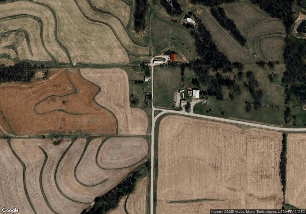
Map
Nearby Homes
- 601 S 6th St
- 502 High St
- 211 W 4th St
- 505 E Market St
- 611 E Market St
- 600 E Nuckols St
- 418 E Coolbaugh St
- 210 N 8th St
- 702 E Coolbaugh St
- 706 E Reed St
- 611 E Reed St
- 511 N Broad St
- 207 E Joy St
- 1405 Bluegrass Rd
- 1005 N 2nd St
- 1007 E Reed St
- 904 N 6th St
- 606 Carter Dr
- 911 E Corning St
- 407 E Prospect St
- 1755 223rd St
- 1777 223 St
- 1783 223rd St
- 2265 Ginkgo Ave
- 2266 Ginkgo Ave
- 2210 Iowa 48
- 2281 Ginkgo Ave
- 2196 State Highway 48
- 2185 State Highway 48
- 2171 State Highway 48
- 1767 230th St
- 2210 State Highway 48
- 2173 State Highway 48
- 1801 218th St
- 0 240th St Unit 5420582
- 0 240th St
- 2169 State Highway 48
- 1751 215th St
- 2172 State Highway 48
- 1774 215th St