1753 Harmony Rd Jonesborough, TN 37659
Estimated Value: $718,000 - $1,028,000
5
Beds
5
Baths
4,784
Sq Ft
$182/Sq Ft
Est. Value
About This Home
This home is located at 1753 Harmony Rd, Jonesborough, TN 37659 and is currently estimated at $869,098, approximately $181 per square foot. 1753 Harmony Rd is a home located in Washington County with nearby schools including Gray Elementary School and Daniel Boone High School.
Ownership History
Date
Name
Owned For
Owner Type
Purchase Details
Closed on
Dec 14, 2012
Sold by
Graham David S
Bought by
Joyner Brian A and Joyner Jama
Current Estimated Value
Home Financials for this Owner
Home Financials are based on the most recent Mortgage that was taken out on this home.
Original Mortgage
$120,000
Outstanding Balance
$83,180
Interest Rate
3.38%
Mortgage Type
Commercial
Estimated Equity
$785,918
Purchase Details
Closed on
May 26, 2005
Sold by
Pierce Ditching Company
Bought by
Graham David S
Purchase Details
Closed on
Jun 27, 2003
Sold by
Capozzi Kandy M
Bought by
State Of Tennessee
Purchase Details
Closed on
Feb 5, 2001
Sold by
Tri Cities Paving & Const
Bought by
Pierce Ditching Co
Create a Home Valuation Report for This Property
The Home Valuation Report is an in-depth analysis detailing your home's value as well as a comparison with similar homes in the area
Home Values in the Area
Average Home Value in this Area
Purchase History
| Date | Buyer | Sale Price | Title Company |
|---|---|---|---|
| Joyner Brian A | $470,000 | -- | |
| Graham David S | $66,300 | -- | |
| State Of Tennessee | $29,850 | -- | |
| Pierce Ditching Co | -- | -- |
Source: Public Records
Mortgage History
| Date | Status | Borrower | Loan Amount |
|---|---|---|---|
| Open | Joyner Brian A | $120,000 |
Source: Public Records
Tax History Compared to Growth
Tax History
| Year | Tax Paid | Tax Assessment Tax Assessment Total Assessment is a certain percentage of the fair market value that is determined by local assessors to be the total taxable value of land and additions on the property. | Land | Improvement |
|---|---|---|---|---|
| 2024 | $3,061 | $179,025 | $15,750 | $163,275 |
| 2022 | $2,621 | $121,925 | $15,050 | $106,875 |
| 2021 | $2,621 | $121,925 | $15,050 | $106,875 |
| 2020 | $2,621 | $121,925 | $15,050 | $106,875 |
| 2019 | $2,833 | $121,925 | $15,050 | $106,875 |
| 2018 | $2,833 | $119,050 | $15,050 | $104,000 |
| 2017 | $2,833 | $119,050 | $15,050 | $104,000 |
| 2016 | $2,833 | $119,050 | $15,050 | $104,000 |
| 2015 | $2,357 | $119,050 | $15,050 | $104,000 |
| 2014 | $2,357 | $119,050 | $15,050 | $104,000 |
Source: Public Records
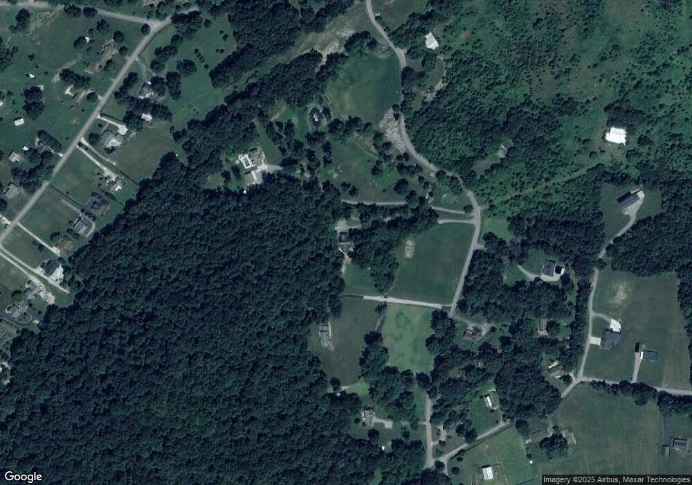
Map
Nearby Homes
- 1238 Fordtown Rd
- 140 Hulse Rd
- 2919 Southbridge Rd
- 3149 Phillips Way
- 3323 Joshua Ln
- 3324 Cottage Green Ct
- 604 Snapps Ferry Rd
- 3137 London Rd
- Tbd Tranquil Ct
- 00 Rd
- 3069 Calton Hill
- 694 Saint Andrews Dr
- 690 Saint Andrews Dr
- 687 Saint Andrews Dr
- 686 Saint Andrews Dr
- 683 Saint Andrews Dr
- 679 Saint Andrews Dr
- 682 Saint Andrews Dr
- 675 Saint Andrews Dr
- 678 Saint Andrews Dr
- 1741 Harmony Rd
- 1741 Harmony Rd
- 1755 Harmony Rd
- 1748 Harmony Rd
- 1760 Harmony Rd
- 1740 Harmony Rd
- 1732 Harmony Rd
- 1729 Harmony Rd
- 1728 Harmony Rd
- 125 Ferguson Rd
- 1744 Harmony Rd
- 1275 Fordtown Rd
- 129 Ferguson Rd
- 1273 Fordtown Rd
- 1309 Fordtown Rd
- 1283 Fordtown Rd
- 1279 Fordtown Rd
- 1271 Fordtown Rd
- 100 Ferguson Rd
- 1267 Fordtown Rd