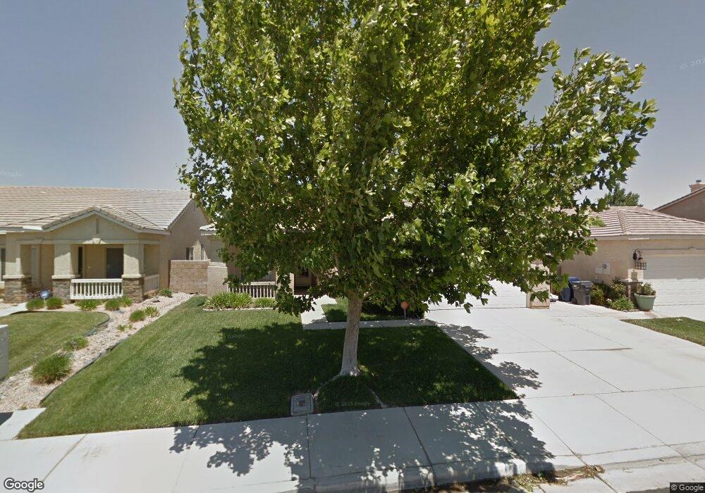
1753 W Avenue h4 Lancaster, CA 93534
Central Lancaster NeighborhoodEstimated Value: $449,807 - $481,000
3
Beds
2
Baths
1,565
Sq Ft
$297/Sq Ft
Est. Value
About This Home
This home is located at 1753 W Avenue h4, Lancaster, CA 93534 and is currently estimated at $464,952, approximately $297 per square foot. 1753 W Avenue h4 is a home located in Los Angeles County with nearby schools including Desert View Elementary School, Piute Middle School, and Lancaster High School.
Ownership History
Date
Name
Owned For
Owner Type
Purchase Details
Closed on
Apr 2, 2001
Sold by
The Forecast Group Lp
Bought by
Kirkhart Donald R
Current Estimated Value
Home Financials for this Owner
Home Financials are based on the most recent Mortgage that was taken out on this home.
Original Mortgage
$137,313
Interest Rate
7.21%
Mortgage Type
FHA
Create a Home Valuation Report for This Property
The Home Valuation Report is an in-depth analysis detailing your home's value as well as a comparison with similar homes in the area
Home Values in the Area
Average Home Value in this Area
Purchase History
| Date | Buyer | Sale Price | Title Company |
|---|---|---|---|
| Kirkhart Donald R | $139,500 | Orange Coast Title |
Source: Public Records
Mortgage History
| Date | Status | Borrower | Loan Amount |
|---|---|---|---|
| Previous Owner | Kirkhart Donald R | $137,313 | |
| Closed | Kirkhart Donald R | $4,184 |
Source: Public Records
Tax History Compared to Growth
Tax History
| Year | Tax Paid | Tax Assessment Tax Assessment Total Assessment is a certain percentage of the fair market value that is determined by local assessors to be the total taxable value of land and additions on the property. | Land | Improvement |
|---|---|---|---|---|
| 2025 | $3,995 | $216,963 | $41,205 | $175,758 |
| 2024 | $3,995 | $212,710 | $40,398 | $172,312 |
| 2023 | $3,913 | $208,540 | $39,606 | $168,934 |
| 2022 | $3,712 | $204,452 | $38,830 | $165,622 |
| 2021 | $3,318 | $200,444 | $38,069 | $162,375 |
| 2019 | $3,227 | $194,501 | $36,941 | $157,560 |
| 2018 | $3,170 | $190,688 | $36,217 | $154,471 |
| 2016 | $3,008 | $183,285 | $34,811 | $148,474 |
| 2015 | $2,972 | $180,533 | $34,289 | $146,244 |
| 2014 | $2,953 | $176,998 | $33,618 | $143,380 |
Source: Public Records
Map
Nearby Homes
- 1759 W Avenue h5
- 1751 W Avenue h5
- 45764 Victoria Ave
- 230 Victoria Ave
- 50 Victoria Ave
- 0 Victoria Ave
- 90 Victoria Ave
- 0 91 Stw Vic Ave G6
- Industrial Lot G8 15 Vac Vic Ave
- 1753 Stratford St
- 0 20th West & Ave H4 Unit 21004970
- 1609 Sutherland St
- 0 Unit 25001114
- 1538 Regents St
- 1342 W Avenue H
- 1514 Regents St
- 1826 W Avenue h8
- 45667 21st St W
- 45564 Tiana Rose St
- 45704 Barham Ave
- 1749 W Avenue h4
- 1757 W Avenue h4
- 1748 Windermere Dr
- 1752 Windermere Dr
- 1761 W Avenue h4
- 1745 W Avenue h4
- 1744 Windermere Dr
- 1756 Windermere Dr
- 1756 W Avenue h4
- 1752 W Avenue h4
- 1741 W Avenue h4
- 1765 W Avenue h4
- 1740 Windermere Dr
- 1760 Windermere Dr
- 1760 W Avenue h4
- 1748 W Avenue h4
- 1764 W Avenue h4
- 1736 Windermere Dr
- 1744 W Avenue h4
- 1764 Windermere Dr