17542 Rock Bluff Rd Ottumwa, IA 52501
Estimated Value: $439,000 - $718,242
4
Beds
3
Baths
3,000
Sq Ft
$179/Sq Ft
Est. Value
About This Home
This home is located at 17542 Rock Bluff Rd, Ottumwa, IA 52501 and is currently estimated at $537,414, approximately $179 per square foot. 17542 Rock Bluff Rd is a home located in Wapello County with nearby schools including Eddyville-Blakesburg- Fremont Junior/Senior High School.
Ownership History
Date
Name
Owned For
Owner Type
Purchase Details
Closed on
Oct 9, 2010
Sold by
Bailey Lesle R
Bought by
Leonard William J and Leonard Robin L
Current Estimated Value
Home Financials for this Owner
Home Financials are based on the most recent Mortgage that was taken out on this home.
Original Mortgage
$278,350
Outstanding Balance
$182,116
Interest Rate
4.26%
Mortgage Type
New Conventional
Estimated Equity
$355,298
Create a Home Valuation Report for This Property
The Home Valuation Report is an in-depth analysis detailing your home's value as well as a comparison with similar homes in the area
Home Values in the Area
Average Home Value in this Area
Purchase History
| Date | Buyer | Sale Price | Title Company |
|---|---|---|---|
| Leonard William J | $293,000 | None Available |
Source: Public Records
Mortgage History
| Date | Status | Borrower | Loan Amount |
|---|---|---|---|
| Open | Leonard William J | $278,350 |
Source: Public Records
Tax History Compared to Growth
Tax History
| Year | Tax Paid | Tax Assessment Tax Assessment Total Assessment is a certain percentage of the fair market value that is determined by local assessors to be the total taxable value of land and additions on the property. | Land | Improvement |
|---|---|---|---|---|
| 2025 | $5,280 | $524,150 | $43,460 | $480,690 |
| 2024 | $5,280 | $460,950 | $15,900 | $445,050 |
| 2023 | $4,502 | $460,820 | $15,900 | $444,920 |
| 2022 | $4,122 | $370,400 | $15,900 | $354,500 |
| 2021 | $4,234 | $316,980 | $15,900 | $301,080 |
| 2020 | $3,968 | $315,180 | $15,900 | $299,280 |
| 2019 | $3,822 | $300,210 | $0 | $0 |
| 2018 | $3,768 | $300,210 | $0 | $0 |
| 2017 | $3,792 | $301,220 | $0 | $0 |
| 2016 | $3,438 | $278,313 | $0 | $0 |
| 2015 | $3,492 | $278,313 | $0 | $0 |
| 2014 | $3,492 | $278,313 | $0 | $0 |
Source: Public Records
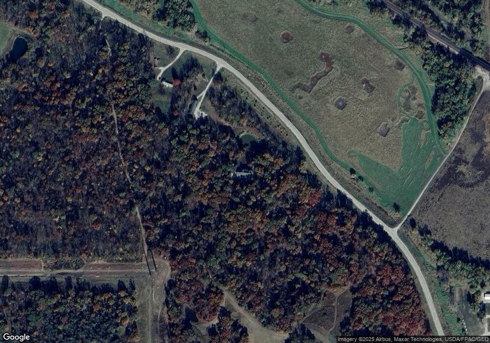
Map
Nearby Homes
- 18781 125 St
- 18781 125th St
- 20462 Co Hwy H27
- 000000 Whiskey Ridge
- 9450 150th Ave
- 20462
- 11652 Rutledge Rd
- 1021 Overman Ave
- 1529 Swanson Ave
- 11995 Rutledge Rd
- 627 Edwards Dr
- 1441 Casa Blanca Ln
- 1510 Swanson Ave
- 1409 Swanson Ave
- 1507 Mowrey Ave
- 727 Mckinley Ave
- 736 Mckinley Ave
- 1939 Gladstone St
- 74 Schwartz Dr
- 1975 Greenwood Dr
- 17542 Rock Bluff Rd
- 17544 Rock Bluff Rd
- 0 Rock Bluff Rd
- 16906 Rock Bluff Rd
- 16635 Rock Bluff Rd
- 16728 Eddyville Rd
- 16722 Eddyville Rd
- 16638 Rock Bluff Rd
- 16591 Rock Bluff Rd
- 16779 Eddyville Rd
- 17857 Rock Bluff Rd
- 11217 180th Ave
- 16485 Rock Bluff Rd
- 17841 Whiskey Ridge
- 17042 Eddyville Rd
- 17321 Whiskey Ridge
- 17072 Eddyville Rd