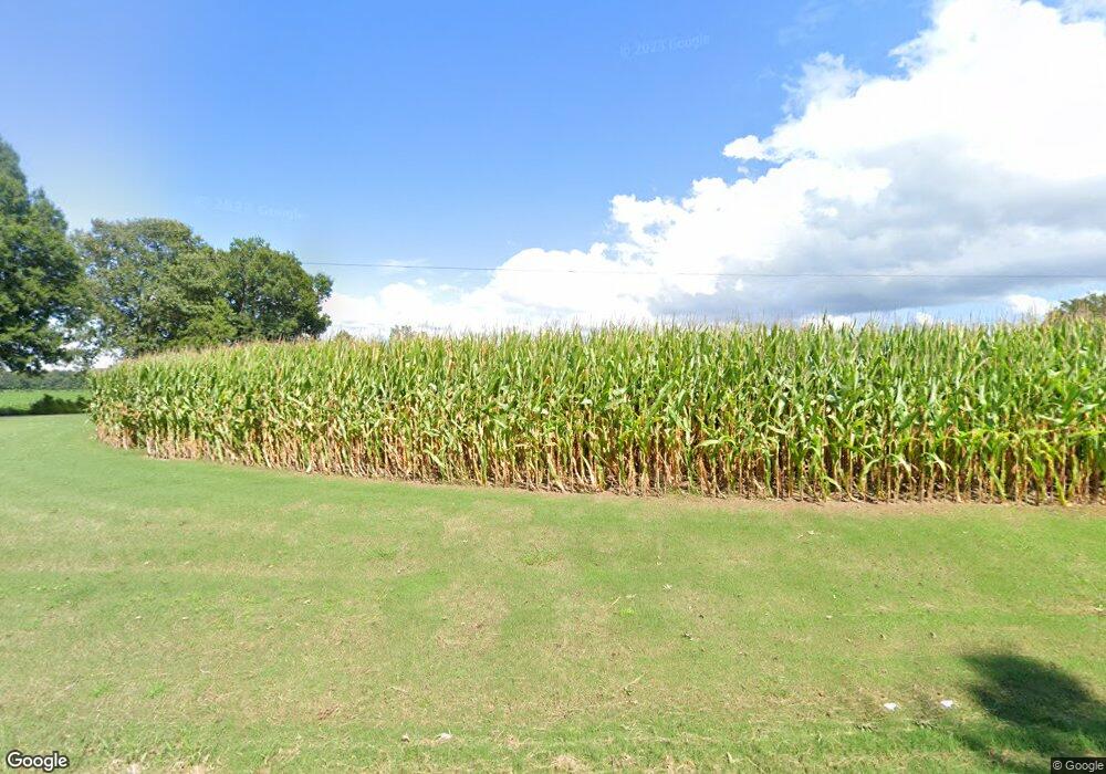
1755 Cypress Tree Rd Humboldt, TN 38343
Estimated Value: $441,000 - $740,000
4
Beds
4
Baths
4,329
Sq Ft
$140/Sq Ft
Est. Value
About This Home
This home is located at 1755 Cypress Tree Rd, Humboldt, TN 38343 and is currently estimated at $607,389, approximately $140 per square foot. 1755 Cypress Tree Rd is a home located in Crockett County with nearby schools including Pope School, Northeast Middle School, and North Side High School.
Ownership History
Date
Name
Owned For
Owner Type
Purchase Details
Closed on
Jul 27, 2012
Sold by
Johnson Jeffrey Walter
Bought by
Martin Garry Lee and Martin Mary Kathleen
Current Estimated Value
Home Financials for this Owner
Home Financials are based on the most recent Mortgage that was taken out on this home.
Original Mortgage
$289,750
Outstanding Balance
$200,105
Interest Rate
3.68%
Mortgage Type
Cash
Estimated Equity
$407,284
Purchase Details
Closed on
Apr 2, 2004
Sold by
Martindale Jimmy
Bought by
Morford Robert C
Create a Home Valuation Report for This Property
The Home Valuation Report is an in-depth analysis detailing your home's value as well as a comparison with similar homes in the area
Home Values in the Area
Average Home Value in this Area
Purchase History
| Date | Buyer | Sale Price | Title Company |
|---|---|---|---|
| Martin Garry Lee | $305,000 | -- | |
| Morford Robert C | $264,800 | -- |
Source: Public Records
Mortgage History
| Date | Status | Borrower | Loan Amount |
|---|---|---|---|
| Open | Martin Garry Lee | $289,750 |
Source: Public Records
Tax History Compared to Growth
Tax History
| Year | Tax Paid | Tax Assessment Tax Assessment Total Assessment is a certain percentage of the fair market value that is determined by local assessors to be the total taxable value of land and additions on the property. | Land | Improvement |
|---|---|---|---|---|
| 2025 | $2,567 | $164,975 | $0 | $0 |
| 2024 | $2,567 | $113,100 | $7,375 | $105,725 |
| 2023 | $2,567 | $113,100 | $7,375 | $105,725 |
| 2022 | $2,567 | $113,100 | $7,375 | $105,725 |
| 2021 | $2,130 | $80,675 | $5,225 | $75,450 |
| 2020 | $2,087 | $80,675 | $5,225 | $75,450 |
| 2019 | $2,130 | $80,675 | $5,225 | $75,450 |
| 2018 | $2,062 | $80,675 | $5,225 | $75,450 |
| 2017 | $2,062 | $78,100 | $5,225 | $72,875 |
| 2016 | $2,062 | $78,100 | $5,225 | $72,875 |
| 2015 | $2,178 | $78,100 | $5,225 | $72,875 |
| 2014 | $2,178 | $82,513 | $0 | $0 |
Source: Public Records
Map
Nearby Homes
- 21679 U S 79
- 0 W Main St
- 00 Highway 45 W
- 106 S 13th Ave
- 136 Mason Grove Rd
- 23 Forked Oak Ln
- 844 Leanne Dr
- 580 Westside Dr
- 214 Vine St
- 112 S 17th Ave
- 76 Etheridge St Unit R
- 73 Etheridge St
- 720 Teri Leigh Cove
- 0 MacLin St Unit 224868
- 1635 Osborne St
- 762 Alecia Page Cove
- 2812 Pritchard Ln
- 127 Franklin St
- 2811 Pritchard Ln
- 2810 Pritchard Ln
