1755 Fire Rock Loop Templeton, CA 93465
Estimated Value: $2,244,682 - $2,792,000
4
Beds
3
Baths
4,701
Sq Ft
$538/Sq Ft
Est. Value
About This Home
This home is located at 1755 Fire Rock Loop, Templeton, CA 93465 and is currently estimated at $2,528,171, approximately $537 per square foot. 1755 Fire Rock Loop is a home located in San Luis Obispo County with nearby schools including Pat Butler Elementary School, George H. Flamson Middle School, and Paso Robles High School.
Ownership History
Date
Name
Owned For
Owner Type
Purchase Details
Closed on
Oct 12, 2016
Sold by
Takken Cristopher and Takken Kristina
Bought by
Takken Cristopher Andres and Takken Kristina Astrid
Current Estimated Value
Purchase Details
Closed on
Mar 1, 2006
Sold by
Weyrich Development Co Inc
Bought by
Takken Cristopher and Takken Kristina
Home Financials for this Owner
Home Financials are based on the most recent Mortgage that was taken out on this home.
Original Mortgage
$410,000
Interest Rate
7%
Mortgage Type
Unknown
Create a Home Valuation Report for This Property
The Home Valuation Report is an in-depth analysis detailing your home's value as well as a comparison with similar homes in the area
Purchase History
| Date | Buyer | Sale Price | Title Company |
|---|---|---|---|
| Takken Cristopher Andres | -- | None Available | |
| Takken Cristopher | $550,000 | Cuesta Title |
Source: Public Records
Mortgage History
| Date | Status | Borrower | Loan Amount |
|---|---|---|---|
| Previous Owner | Takken Cristopher | $410,000 |
Source: Public Records
Tax History
| Year | Tax Paid | Tax Assessment Tax Assessment Total Assessment is a certain percentage of the fair market value that is determined by local assessors to be the total taxable value of land and additions on the property. | Land | Improvement |
|---|---|---|---|---|
| 2025 | $17,415 | $1,653,043 | $816,005 | $837,038 |
| 2024 | $17,100 | $1,620,631 | $800,005 | $820,626 |
| 2023 | $17,100 | $1,588,855 | $784,319 | $804,536 |
| 2022 | $16,805 | $1,557,702 | $768,941 | $788,761 |
| 2021 | $16,474 | $1,527,160 | $753,864 | $773,296 |
| 2020 | $16,304 | $1,511,502 | $746,135 | $765,367 |
| 2019 | $15,983 | $1,481,865 | $731,505 | $750,360 |
| 2018 | $15,668 | $1,452,810 | $717,162 | $735,648 |
| 2017 | $14,671 | $1,424,324 | $703,100 | $721,224 |
| 2016 | $14,382 | $1,396,397 | $689,314 | $707,083 |
| 2015 | $14,162 | $1,375,422 | $678,960 | $696,462 |
| 2014 | $13,628 | $1,348,481 | $665,661 | $682,820 |
Source: Public Records
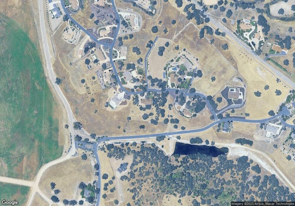
Map
Nearby Homes
- 1920 Fire Rock Loop
- 1880 Fire Rock Loop
- 1810 LOT 28 Fire Rock Loop
- 2220 Battering Rock Rd
- 1320 Fire Rock Loop
- 1505 Barley Grain Rd
- 1410 Fire Rock Loop
- 2264 Lake Ysabel Rd
- 2438 Battering Rock Rd
- 1655 Barley Grain Rd
- 1690 Barley Grain Rd
- 829 Saint Andrews Cir
- 795 Angus St
- 907 Saint Ann Dr
- 2035 Calle Pattito
- 911 Saint Ann Dr
- 0 Volpi Ysabel Rd
- 1720 Willowbank Ln
- 470 Kenton Ct
- 192 Sandbar Ct
- 1725 Fire Rock Loop
- 1725 Fire Rock Loop Unit Lot 3
- 1825 Fire Rock Loop
- 1720 Fire Rock Loop
- 1720 Fire Rock Loop Unit 27
- 2044 Santa Ysabel Ave
- 1810 Fire Rock Loop Unit 28
- 1840 Fire Rock Loop
- 1715 Fire Rock Loop Unit 4
- 1715 Fire Rock Loop
- 1680 Fire Rock Loop Unit 26
- 1680 Fire Rock Loop
- 2044 Lake Ysabel Rd Unit 146
- 2044 Lake Ysabel Rd
- 1960 Fire Rock Loop
- 1920 Fire Rock Loop Unit 32
- 1920 Fire Rock Loop
- 1880 Fire Rock Loop
- 1880 Fire Rock Loop Unit 30
- 1160 Fire Rock Loop
Your Personal Tour Guide
Ask me questions while you tour the home.