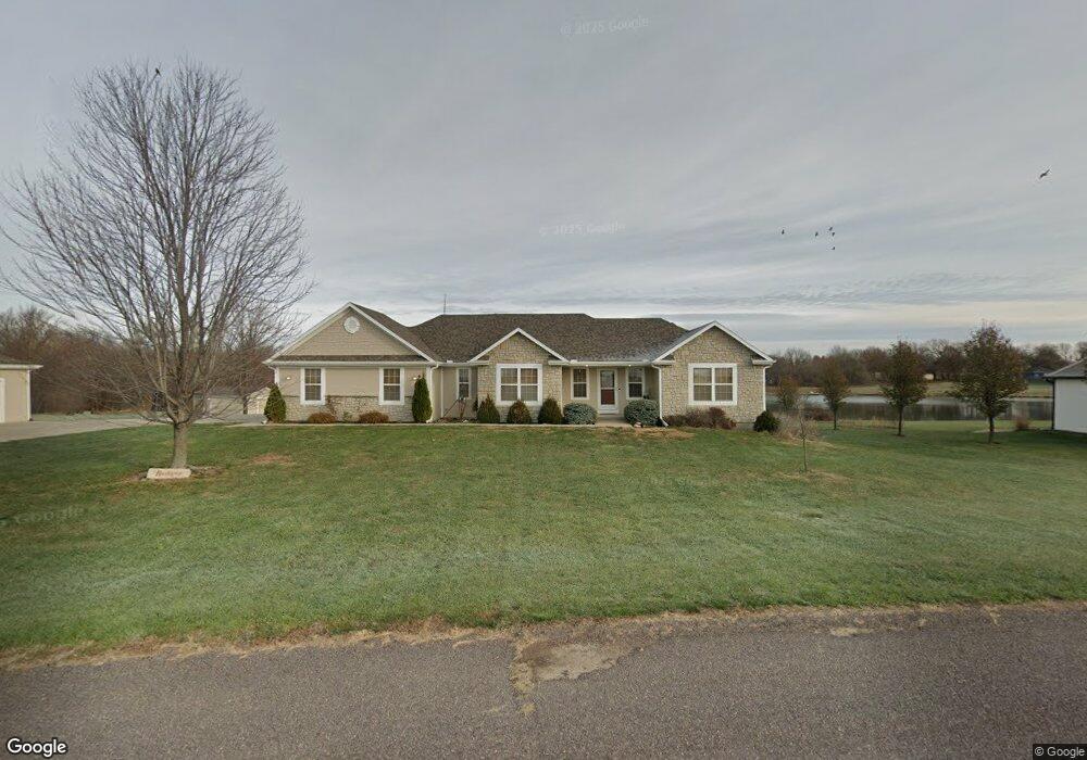
17552 Bayside Dr Tonganoxie, KS 66086
Estimated Value: $455,000 - $649,097
3
Beds
2
Baths
1,702
Sq Ft
$344/Sq Ft
Est. Value
About This Home
This home is located at 17552 Bayside Dr, Tonganoxie, KS 66086 and is currently estimated at $585,524, approximately $344 per square foot. 17552 Bayside Dr is a home located in Leavenworth County with nearby schools including Basehor Elementary School, Basehor-Linwood Middle School, and Basehor-Linwood High School.
Ownership History
Date
Name
Owned For
Owner Type
Purchase Details
Closed on
Jan 23, 2024
Sold by
Ocallaghan Matthew J and Ocallaghan Robin M
Bought by
Ocallaghan Joint Trust and Ocallaghan
Current Estimated Value
Purchase Details
Closed on
Nov 1, 2005
Bought by
Ocallaghan Matthew J and Ocallaghan Robin M
Home Financials for this Owner
Home Financials are based on the most recent Mortgage that was taken out on this home.
Original Mortgage
$235,000
Interest Rate
6.15%
Mortgage Type
New Conventional
Create a Home Valuation Report for This Property
The Home Valuation Report is an in-depth analysis detailing your home's value as well as a comparison with similar homes in the area
Home Values in the Area
Average Home Value in this Area
Purchase History
| Date | Buyer | Sale Price | Title Company |
|---|---|---|---|
| Ocallaghan Joint Trust | -- | None Listed On Document | |
| Ocallaghan Matthew J | $251,462 | -- |
Source: Public Records
Mortgage History
| Date | Status | Borrower | Loan Amount |
|---|---|---|---|
| Previous Owner | Ocallaghan Matthew J | $235,000 | |
| Closed | Ocallaghan Matthew J | $232,000 |
Source: Public Records
Tax History Compared to Growth
Tax History
| Year | Tax Paid | Tax Assessment Tax Assessment Total Assessment is a certain percentage of the fair market value that is determined by local assessors to be the total taxable value of land and additions on the property. | Land | Improvement |
|---|---|---|---|---|
| 2025 | $7,199 | $66,217 | $12,971 | $53,246 |
| 2024 | $6,598 | $63,699 | $11,834 | $51,865 |
| 2023 | $6,598 | $61,514 | $11,259 | $50,255 |
| 2022 | $6,086 | $53,590 | $10,110 | $43,480 |
| 2021 | $5,278 | $46,472 | $8,387 | $38,085 |
| 2020 | $5,012 | $43,182 | $7,813 | $35,369 |
| 2019 | $4,797 | $41,193 | $7,238 | $33,955 |
| 2018 | $4,257 | $36,489 | $6,088 | $30,401 |
| 2017 | $3,980 | $34,036 | $6,088 | $27,948 |
| 2016 | $3,885 | $33,144 | $5,974 | $27,170 |
| 2015 | $3,728 | $31,778 | $5,621 | $26,157 |
| 2014 | $3,425 | $29,271 | $5,621 | $23,650 |
Source: Public Records
Map
Nearby Homes
- 935 168th St
- 16729 Pinehurst Dr
- 16721 Pinehurst Dr
- 16703 Sheehan Rd
- 1624 Grayhawk Dr
- 1555 Grayhawk Dr
- 1400 163rd St
- 1422 163rd St
- 1432 163rd St
- 1380 163rd St
- 1410 163rd St
- 1608 163rd St
- 1444 163rd St
- 17894 169th St
- 1403 163rd St
- 1393 163rd St
- 1491 163rd St
- 1591 Grayhawk Dr
- 18429 166th St
- 1398 N 162nd St
- 17550 Bayside Dr
- 17700 Bayside Dr
- 17660 Bayside Dr
- 0 Bayside Dr Unit 1770122
- 0000 Bayside Dr
- 17610 Bayside Dr
- 17452 Bayside Dr
- 17563 Westridge Rd
- 17450 Bayside Dr
- 17535 Westridge Rd
- 17503 Westridge Rd
- 17473 Westridge Rd
- 18953 174th St
- 18975 174th St
- 18975 174th St
- 19109 Westridge Curve
- 17561 State Ave
- 17451 Bayside Dr
- 17500 Westridge Rd
- 17427 Westridge Rd