17552 Bearpath Trail Eden Prairie, MN 55347
Estimated Value: $861,000 - $975,000
3
Beds
3
Baths
2,014
Sq Ft
$455/Sq Ft
Est. Value
About This Home
This home is located at 17552 Bearpath Trail, Eden Prairie, MN 55347 and is currently estimated at $915,398, approximately $454 per square foot. 17552 Bearpath Trail is a home located in Hennepin County with nearby schools including Prairie View Elementary School, Central Middle School, and Eden Prairie High School.
Ownership History
Date
Name
Owned For
Owner Type
Purchase Details
Closed on
Jun 7, 2018
Sold by
Blake Mark A and Blake Julie G
Bought by
Feickert John and Feickert Lynn
Current Estimated Value
Purchase Details
Closed on
Jun 1, 2004
Sold by
Wilkes Gregory C and Wilkes Susan J
Bought by
Blake Mark A and Blake Julie G
Purchase Details
Closed on
Dec 8, 2000
Sold by
Simons Preston T and Simons Irene B
Bought by
Wilkes Gregory C and Wilkes Susan J
Purchase Details
Closed on
Jul 24, 1998
Sold by
Wooddale Builders Inc
Bought by
Simons Preston T and Simons Irena B
Create a Home Valuation Report for This Property
The Home Valuation Report is an in-depth analysis detailing your home's value as well as a comparison with similar homes in the area
Home Values in the Area
Average Home Value in this Area
Purchase History
| Date | Buyer | Sale Price | Title Company |
|---|---|---|---|
| Feickert John | $737,500 | Results Title | |
| Blake Mark A | $764,000 | -- | |
| Wilkes Gregory C | $621,500 | -- | |
| Simons Preston T | $547,500 | -- |
Source: Public Records
Tax History Compared to Growth
Tax History
| Year | Tax Paid | Tax Assessment Tax Assessment Total Assessment is a certain percentage of the fair market value that is determined by local assessors to be the total taxable value of land and additions on the property. | Land | Improvement |
|---|---|---|---|---|
| 2024 | $11,300 | $869,800 | $189,000 | $680,800 |
| 2023 | $9,799 | $805,400 | $175,000 | $630,400 |
| 2022 | $8,358 | $728,000 | $168,800 | $559,200 |
| 2021 | $8,299 | $648,300 | $150,400 | $497,900 |
| 2020 | $8,388 | $648,300 | $150,400 | $497,900 |
| 2019 | $8,417 | $635,700 | $147,500 | $488,200 |
| 2018 | $8,738 | $630,700 | $147,500 | $483,200 |
| 2017 | $8,871 | $639,000 | $137,200 | $501,800 |
| 2016 | $8,939 | $639,000 | $137,200 | $501,800 |
| 2015 | $9,099 | $626,600 | $134,600 | $492,000 |
| 2014 | -- | $596,800 | $128,200 | $468,600 |
Source: Public Records
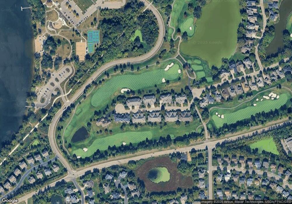
Map
Nearby Homes
- 18482 Aubrie Ct
- 17837 Haralson Dr
- 18052 Cole Ct
- 9543 Geisler Rd
- 17570 Hackberry Ct
- 9598 Crestwood Terrace
- 18658 Ponderosa Ct
- 18674 Ponderosa Ct
- 9272 Larimar Trail
- 9224 Larimar Trail
- 9249 Larimar Trail
- 9253 Larimar Trail
- 9256 Larimar Trail
- Duncan Plan at Kinsley - Freedom
- Hadley Plan at Kinsley - Freedom
- Ashton Plan at Kinsley - Freedom
- 17407 Ada Ct
- 9624 Jonathan Ln
- 9244 Larimar Trail
- 9252 Larimar Trail
- 17554 Bearpath Trail
- 17540 Bearpath Trail
- 17556 Bearpath Trail
- 17538 Bearpath Trail
- 17536 Bearpath Trail
- 17543 Bearpath Trail
- 17555 Bearpath Trail
- 17568 Bearpath Trail
- 17541 Bearpath Trail
- 17557 Bearpath Trail
- 17539 Bearpath Trail
- 17559 Bearpath Trail
- 17570 Bearpath Trail
- 17572 Bearpath Trail
- 17527 Bearpath Trail
- 17571 Bearpath Trail
- 17525 Bearpath Trail
- 17573 Bearpath Trail
- 17584 Bearpath Trail
- 17523 Bearpath Trail